9.4 km away
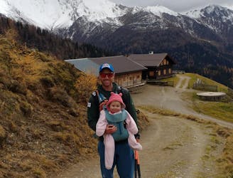
Naviser Almrunde - A tour of the finest huts in Navis
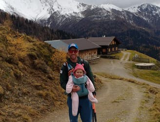
For fans of incredible views and good food, this is a must-do!
Moderate Hiking
- Distance
- 13 km
- Ascent
- 588 m
- Descent
- 588 m
A gorgeous hike through the forested Wattental Valley up to the cheese processing town of Außermelang Alm.
Hiking Moderate

The hike starts in the carpark situated just in front of the entrance of military exercise area at Lager Walchen. You can leave you car parked here and start the trail ('Wattentaler Zirbenweg'). Begin on the road and follow left into the valley which then continues in a southeasterly direction. After passing a hut named the Stieralm hut, you will enter a forested area. Once around a kilometre of walking has been completed in this area, turn left and follow the trail all the way up to Außermelang Alm.
Important! The Außermelang-Niederleger hut is located within the territory of the Austrian federal army's military exercise zone. The walking trails are closed during military exercises (danger of death). Click the link below to find information regarding the times of exercises: http://www.wattenberg.tirol.gv.at/Truppenuebungsplatz
Moderate
Hiking along trails with some uneven terrain and small hills. Small rocks and roots may be present.
9.4 km away
For fans of incredible views and good food, this is a must-do!
Moderate Hiking
9.9 km away
An easy hike for those who want to enjoy the nature away from the crowds.
Difficult Hiking
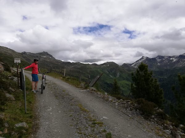
3 routes · Mountain Biking · Hiking

25 routes · Hiking