268 m away
Rotbachlspitze
An incredibly well-positioned peak on the Austro-Italian border.
Difficult Hiking
- Distance
- 18 km
- Ascent
- 1.1 km
- Descent
- 1.1 km
An impressive hike to one of the most famous 3000 m summits of the Zillertal Alps
Hiking Severe

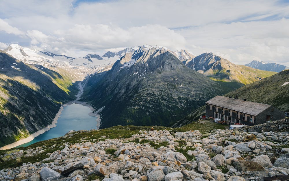
Start your day at the parking lot next to the Schlegeisspeicher and follow the road southwestwards along the reservoir lake crossing the Riepenbach stream.
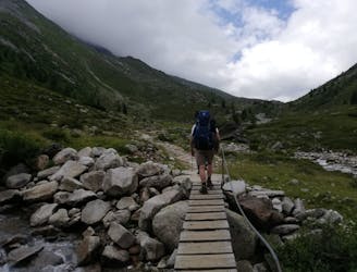
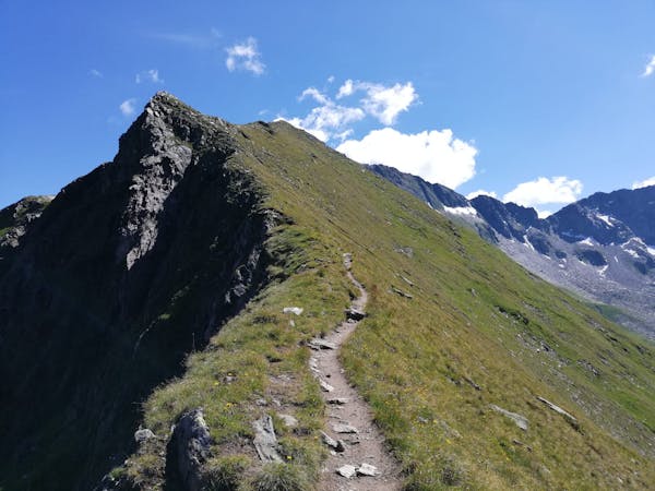
You will encounter a pathway directing you northwesterly through the forest and then in switchbacks through mountain pine fields upwards near the stream.
After having passed the tree line, the trail leads you over beautiful alpine meadows and crosses the Riepenbach stream before you reach the often-crowded Olperer hut after a few more switchbacks. You can take a break here and gather new strength as the terrain gets more alpine soon.
Continue then into direction of the Riepenkopf but keep right (north) as the path divides at around 2800 m.
The landscape gets rougher, and you walk through rubble and rocky boulders heading towards the so called “Schneegupf” - the small glacier field the Olperer is known for. Depending on the conditions, you should use crampons here for better grip to cross this icy snow field.
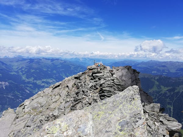
At the end of the Schneegupf a short climbing passage (II), secured with a fixed rope, is waiting for you. The rocks form a chimney here through which you will reach the rocky ridge.
The wire rope guides you then over stone slabs to the summit where you will be received by an overwhelming view. Enjoy the magnificent 360° panorama with all the rocky peaks surrounding you.
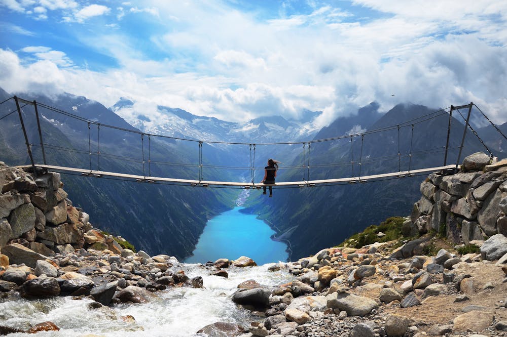
Descend the same way downhill to the Olperer hut where you can rest again and watch some influencer at the famous bridge (!) before tackling the second part of the descent back to the reservoir.
To shorten the tour and make it more comfortable, the Olperer hut also provides the opportunity to stay overnight and split the route into two days.
Severe
Hiking challenging trails where simple scrambling, with the occasional use of the hands, is a distinct possibility. The trails are often filled with all manner of obstacles both small and large, and the hills are very steep. Obstacles and challenges are often unexpected and can be unpredictable.

Some trail sections have exposed ledges or steep ascents/descents where falling could cause serious injury.
Little chance of being seen or helped in case of an accident.
268 m away
An incredibly well-positioned peak on the Austro-Italian border.
Difficult Hiking
6 routes · Hiking
8 routes · Mountain Biking · Hiking · Road Biking

25 routes · Hiking