8.1 km away
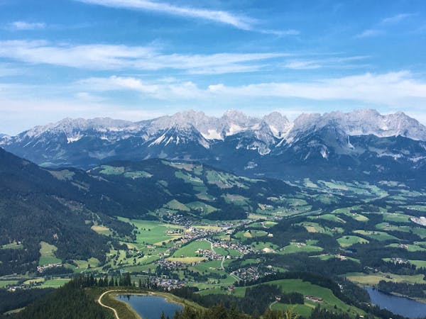
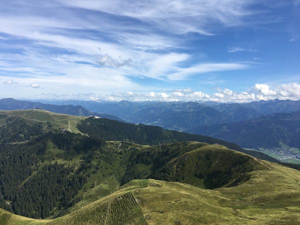
Hahnennkamm Loop
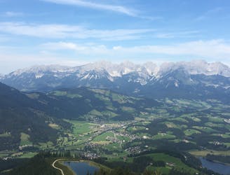
A fantastic high alpine family-friendly hike.
Easy Hiking
- Distance
- 16 km
- Ascent
- 778 m
- Descent
- 777 m
A calm hike to a beautiful waterfall
Hiking Moderate

This is a family friendly hike which ends at a beautiful waterfall. There is a car park at the start. The climb is shadowed by trees this makes the temperature perfect. Once arrived at the waterfalls it may be a good idea to stop at the Sintersbachweg. The descent is on the sunny side and through a larger road.
Moderate
Hiking along trails with some uneven terrain and small hills. Small rocks and roots may be present.

The trail contains some obstacles such as outcroppings and rock which could cause injury.

Close to help in case of emergency.
8.1 km away
A fantastic high alpine family-friendly hike.
Easy Hiking
9.4 km away
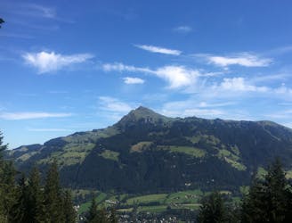
A fantastic ascent and descent of Kitzbühel’s famous Hahnenkamm mountain.
Difficult Hiking
4 routes · Hiking
3 routes · Hiking
8 routes · Hiking