8.2 km away
Kitzbühler Horn MTB Summit Tour
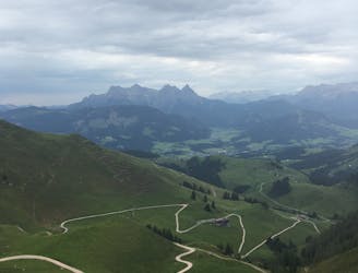
An awesome tour taking you up and down the magnificent Kitzbühler Horn.
Difficult Mountain Biking
- Distance
- 27 km
- Ascent
- 1.2 km
- Descent
- 1.2 km
This trail has all the elements of a knockout MTB adventure!
Mountain Biking Difficult

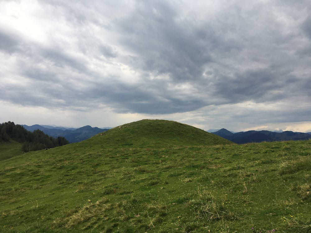
This challenging tour takes you to the summit of Harschbichl and back down again. Brace yourself for tough climbs, speedy descents, and awesome panoramic views!
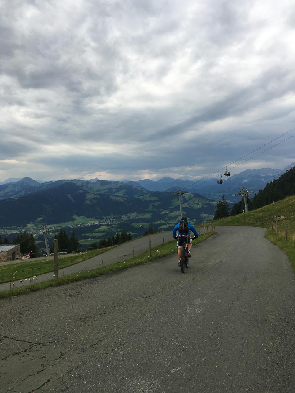
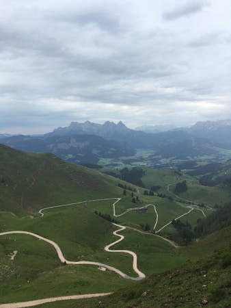
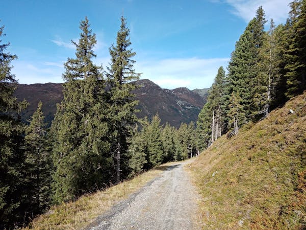
Initially, you will find yourself on an asphalt path, but it quickly transforms into a dirt track through the forest.
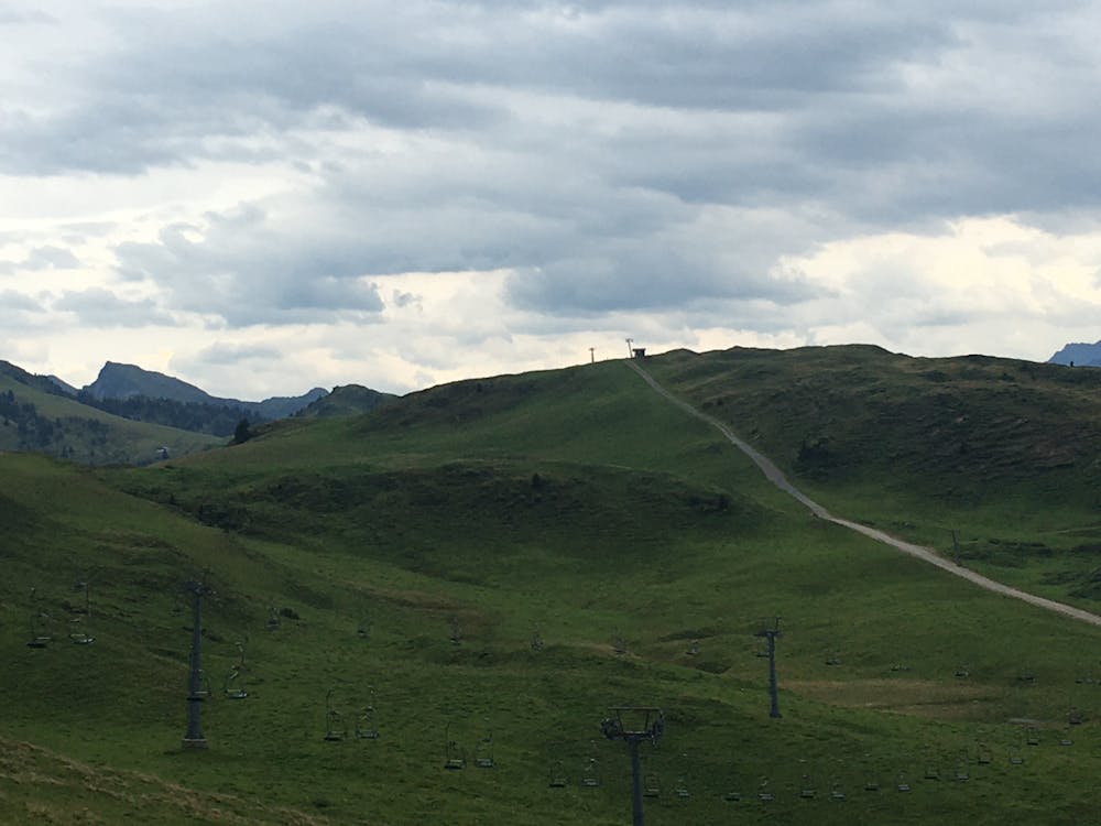
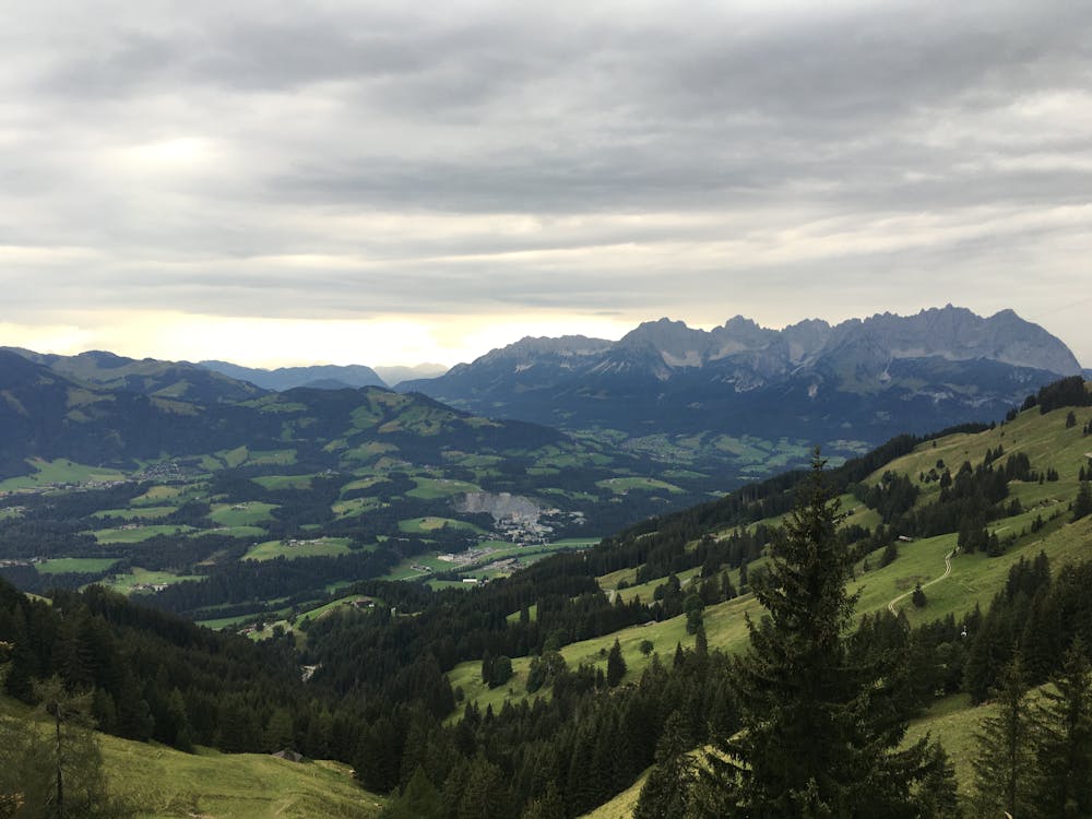
At the middle station of the Harschbichl you will reach a beautiful alpine lake, the Angerer Alm. From here, to the summit the path gets steeper and takes you through a series of switchbacks and into the forest once more.
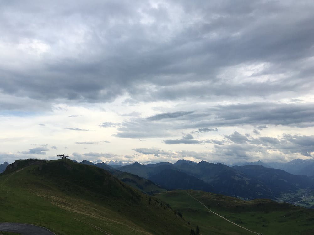
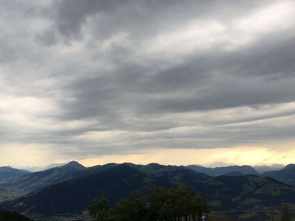
At the top, there are fantastic views across the Kitzbühel Alps and the looming Wilder Kaiser massif. Now it's time to reward that intense climb with a thrilling descent!
You will come back the way you climbed up, so you will have noticed that as well as nice flowy sections, there are also rockier patches and technically demanding obstacles to watch out for.
Difficult
Mostly stable trail tread with some variability featuring larger and more unavoidable obstacles that may include, but not be limited to: bigger stones, roots, steps, and narrow curves. Compared to lower intermediate, technical difficulty is more advanced and grades of slopes are steeper. Ideal for upper intermediate riders.

Some trail sections have exposed ledges or steep ascents/descents where falling could cause serious injury.
Little chance of being seen or helped in case of an accident.
8.2 km away
An awesome tour taking you up and down the magnificent Kitzbühler Horn.
Difficult Mountain Biking
4 routes · Mountain Biking

24 routes · Mountain Biking
10 routes · Mountain Biking