8.9 km away
3 Alms Tour
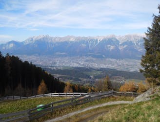
Taking in no less than 3 excellent mountain huts, this is a medium-difficulty mountain bike ride with superb views on the southern side of the Inn valley.
Moderate Mountain Biking
- Distance
- 13 km
- Ascent
- 802 m
- Descent
- 831 m
A peaceful and breathtakingly beautiful journey through forests.
Mountain Biking Moderate

Sadly it is not possible to access the terrain at the head of the Wattental valley on a bike because it is a military training area and can only be hiked or ski toured in. However, bikers can have great adventures in the Wattental and this is a good example of that. The ride is non-technical and takes you along a series of jeep tracks, some smoother than others but all are easy to cruise along.
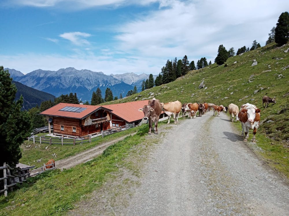
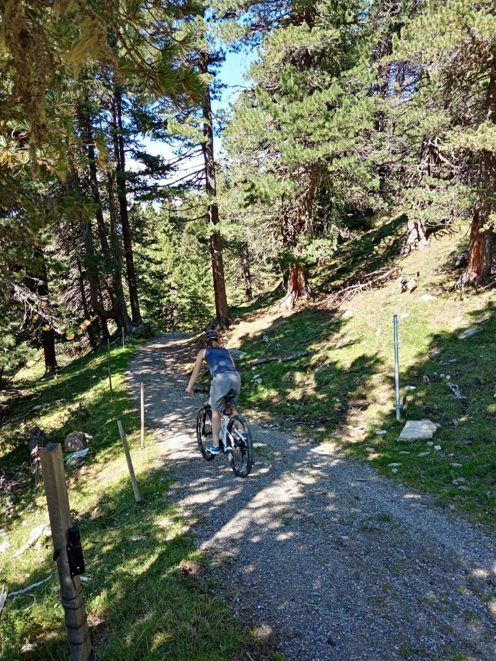
Park at a large parking space 50 metres before the Gasthaus Haneburger and head up at the jeep track which cuts left off the road and begins to climb southwards. Keep climbing up, mainly through trees but through some open sections too, past some gorgeous little mountain chalets and farms. Continue climbing all the way to the little settlement around the Pofersalm, where you'll be able to see working mountains farms, and grab a drink at the one table which is served by the Pofersalm. It's only really a mountain alm in name, and is actually a friendly couple who seem to enjoy chatting to hikers and bikers and selling very cheap beer in order to provide themselves with some company! Even German speakers will struggle to understand the local Wattental dialect that Pofersalm owners peak, but making the effort to try and communicate is fun and a novel experience.
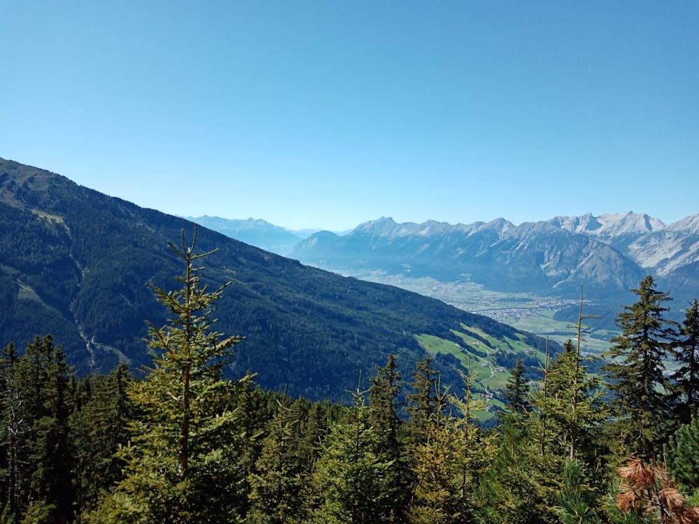
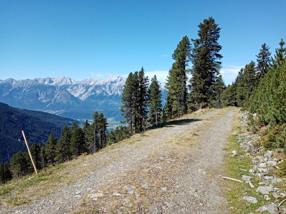
From the Pofersalm begin a short but steep climb to the north-east and then, upon reaching a junction at the edge of a forest, turn left and drop onto a much rougher jeep track than those you've been riding on so far. Follow this slightly rough (but still easy) track as it winds across the hillside, dipping in and out of the forest and offering huge, panoramic views across the Inn valley and across to the Halltal.
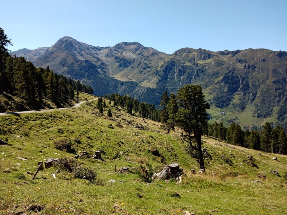
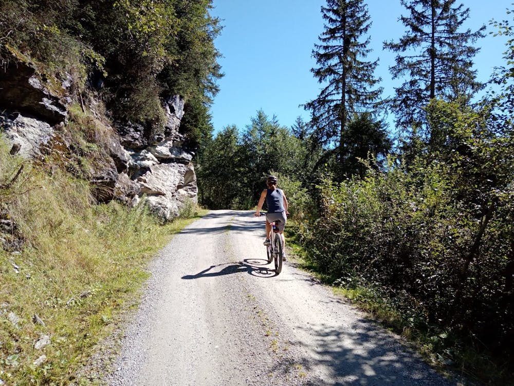
Stick with the track as it descends and winds down towards the Wattental. On the third of 3 rightwards hairpins, turn left and climb gently through trees to rejoin the first section of the ascent route. Follow this down to the valley floor, and the parking area.
Moderate
Mostly stable trail tread with some variability, with unavoidable obstacles 8in/20cm tall or less. Other obstacles such as rock gullies and steep sections may exist. Ideal for lower intermediate riders.

The trail contains some obstacles such as outcroppings and rock which could cause injury.
Away from help but easily accessed.
8.9 km away
Taking in no less than 3 excellent mountain huts, this is a medium-difficulty mountain bike ride with superb views on the southern side of the Inn valley.
Moderate Mountain Biking

7 routes · Alpine Climbing · Mountain Biking · Hiking · Trail Running
5 routes · Mountain Biking

24 routes · Mountain Biking