6.2 km away
Thaurer Alm
A technically easy but physically hard ride to a stunning and rustic mountain hut.
Moderate Mountain Biking
- Distance
- 16 km
- Ascent
- 843 m
- Descent
- 907 m
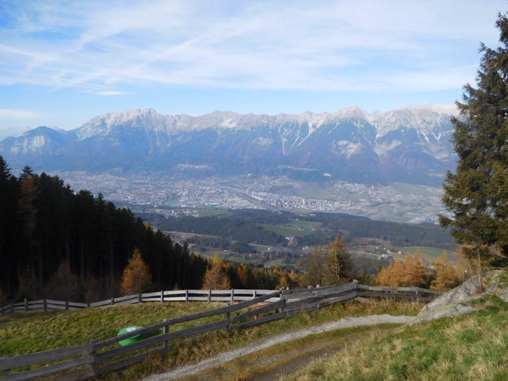
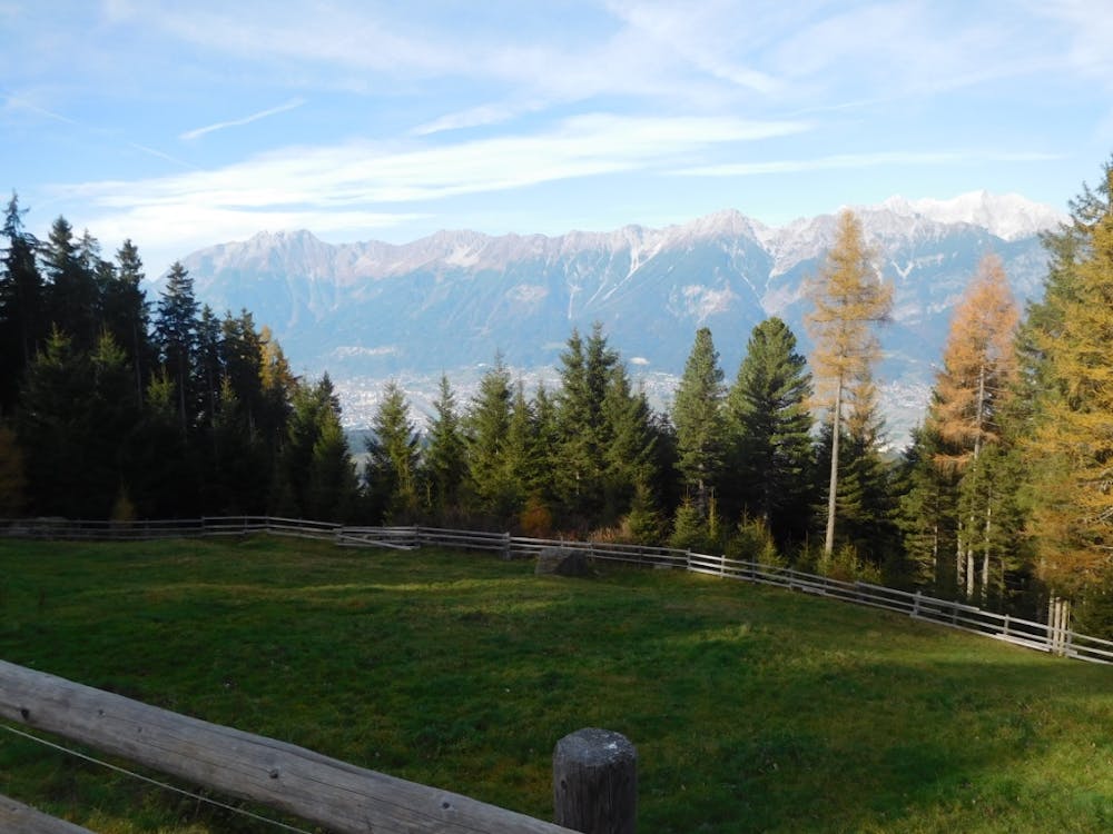
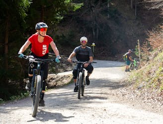
Taking in no less than 3 excellent mountain huts, this is a medium-difficulty mountain bike ride with superb views on the southern side of the Inn valley.
Mountain Biking Moderate

The gradient is sustained and never too challenging throughout the ride, with just a few short, steeper sections, and most of the route is through shaded forest, making this an ideal choice for a hot day.
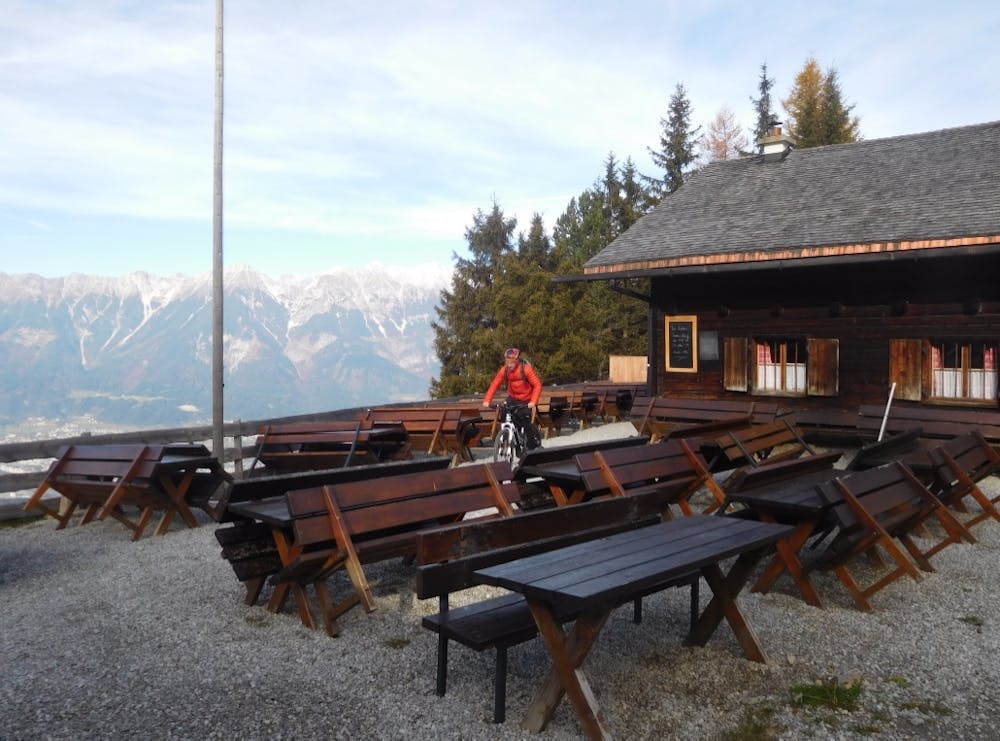
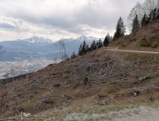
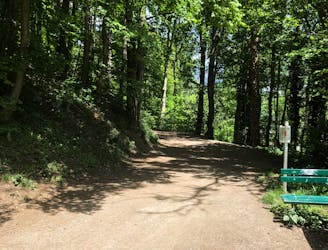
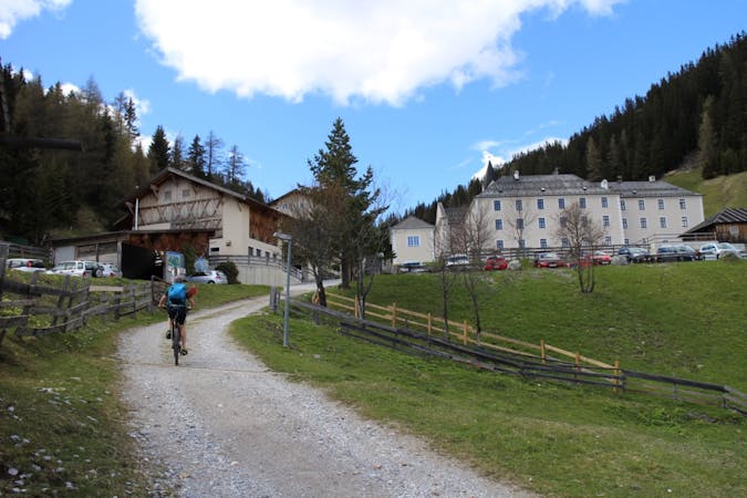
The route begins from the village of Rinn, on the south side of the Inn valley. Turn uphill on to Oberdorf, directly opposite the large cream-col-oured church in the centre of Rinn, to shortly turn left after 100 metres, following parking signs for Rinner Alm. Here you will find a pay and dis-play car park. From the car park, backtrack slightly and take the road uphill signposted as a hiking trail to Rinner Alm. The road quickly be-comes a 4x4 track and at the 4-way junction take the right hand turning, signposted as bike trail number 518 towards Rinner Alm. A sustained in-cline through the forest for just under 4km, with a slightly steeper final push near the top, will bring you out at Rinner Alm itself.
From the Alm, head back downhill the way you arrived for 450m, and take an easy to miss left turning uphill in the direction of Aldranser Alm, along a small, overgrown farm trail. You may need to push your bike briefly, but before long it rejoins a good 4x4 track, bike trail number 554 Aldranser Almweg. Continue uphill for a further 500m to reach Aldranser Alm.
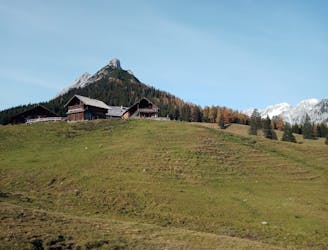
The distance to the next alm is just over 2km, and is a gradual uphill climb of around 160m. From Aldranser Alm, continue west through the forest along bike trail 554, taking the left fork at the first junction to carry on uphill, then right at the next junction in the direction of Sistranser Alm.
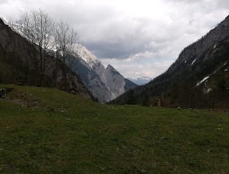
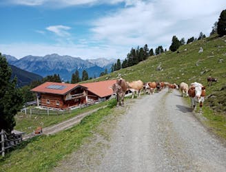
Soon enough the final mountain hut will come into view, providing yet more stunning views across Innsbruck and to the mountain range on the northern side of the valley.
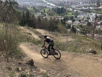
To descend, take bike trail number 515 which leads NE from Sistranser Alm and winds downhill through the forest and along the winter sledging track for just over 5km to reach the village of Sistrans. From Sistrans there are regular buses either back to Innsbruck or across to Rinn to collect your car.
Moderate
Mostly stable trail tread with some variability, with unavoidable obstacles 8in/20cm tall or less. Other obstacles such as rock gullies and steep sections may exist. Ideal for lower intermediate riders.

The path is on completely flat land and potential injury is limited to falling over.

Away from help but easily accessed.
6.2 km away
A technically easy but physically hard ride to a stunning and rustic mountain hut.
Moderate Mountain Biking
6.2 km away
A sunny and beautiful trip between 5 classic Austrian mountain huts.
Easy Mountain Biking
6.8 km away
A technically easy but physically tough route deep into a gorgeous valley.
Moderate Mountain Biking
8.6 km away
All the way up from the city to Arzler Alm - where the single trail starts.
Moderate Mountain Biking
8.6 km away
A nice spin on the cycling paths alongside the Inn.
Easy Mountain Biking
8.6 km away
Mini Gravel route just outside the city center.
Easy Mountain Biking
8.6 km away
Gravel experience of Nordkette from west to east.
Difficult Mountain Biking
8.7 km away
Huge views and zero technicality make this one of the best "easy" rides in Tirol.
Moderate Mountain Biking
8.8 km away
A very easy to access trail, thanks to the public transportation in Innsbruck
Moderate Mountain Biking
8.9 km away
A peaceful and breathtakingly beautiful journey through forests.
Moderate Mountain Biking

7 routes · Alpine Climbing · Mountain Biking · Hiking · Trail Running
5 routes · Mountain Biking

24 routes · Mountain Biking
7 routes · Mountain Biking