2.9 km away
Halltal to the Herrenhäuser and St Magdalena
A technically easy but physically tough route deep into a gorgeous valley.
Moderate Mountain Biking
- Distance
- 11 km
- Ascent
- 707 m
- Descent
- 707 m
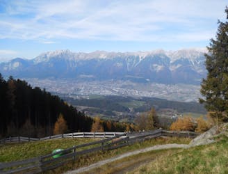
Huge views and zero technicality make this one of the best "easy" rides in Tirol.
Mountain Biking Moderate

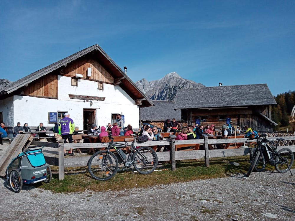
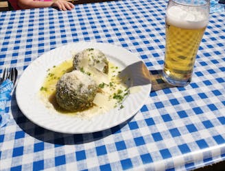
This a ride for those cyclists who want a nice workout, nothing tricky on the way down and some of the best views in Tirol. The 3 traditional Tirolian mountain huts you pass en route are an added bonus!
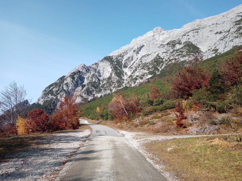
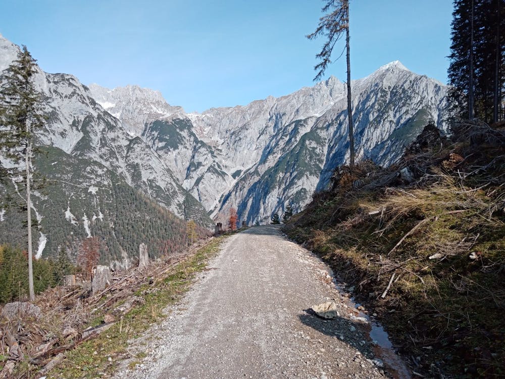
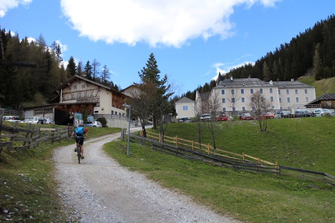
Start out at a large, tiered parking area just west of the Speckbacherhof resort and ride onto the tarmac road which leads up to the Hinterhornalm. Cars can travel up the road but they have to pay a toll to do so.
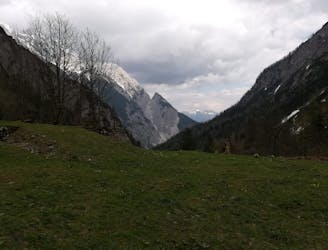
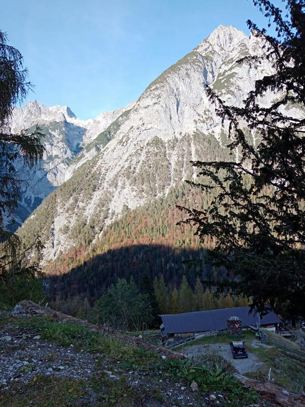
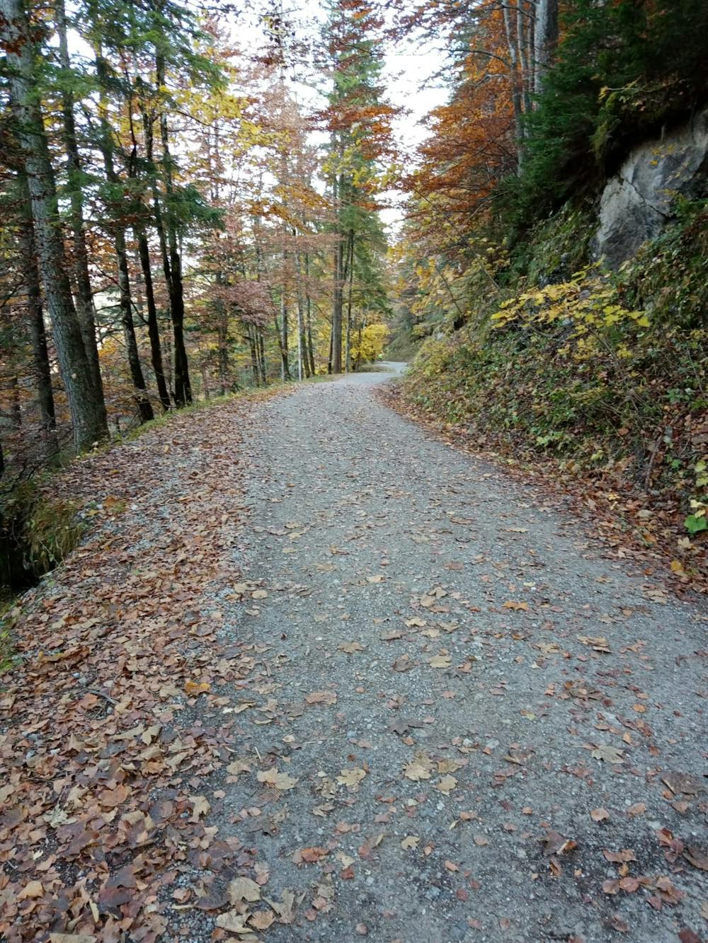
The road winds up through gorgeous, quiet forests and every now and then you get a view across the high peaks to the south as well. Eventually the trees begin to thin out and you emerge beneath the rocky and intimidating Walderkampspitze and Hundskopf south faces. Make the final steep climb up to the utterly spectacular Hinterhornalm which hangs high above the Inn valley and enjoys a great view of Innsbruck city. Once at the Hinterhornalm you've done virtually all of the uphill, so you can get on with enjoying the views safe in the knowledge that there's not much more physical effort required.
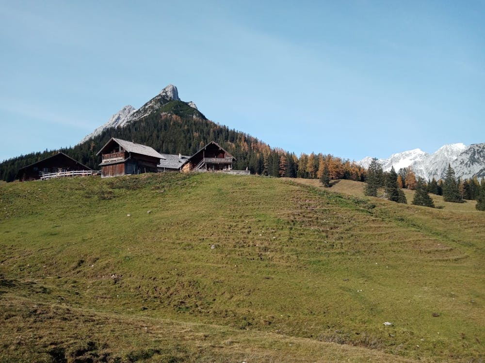
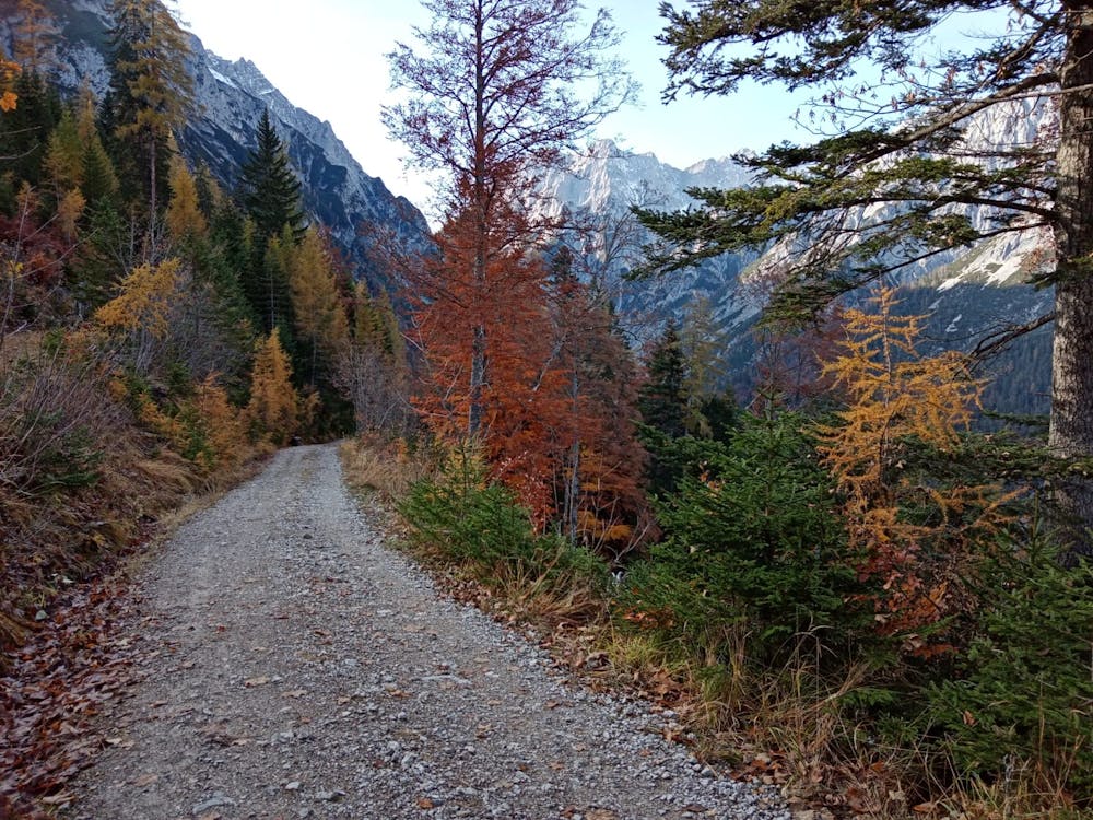
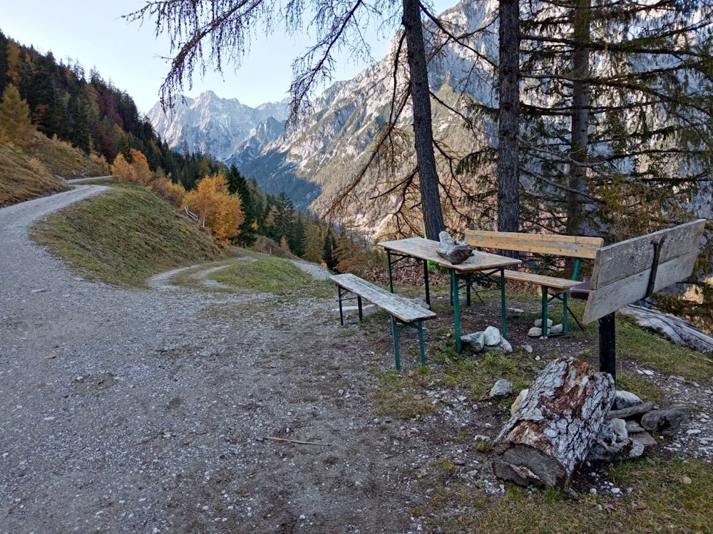
Roll down and then briefly up a jeep track to access the Walderalm - a wonderful (and popular) old hut perched on a high and wide col. From the Walderalm head north-east down into the deep and dramatic Vomper Bach valley, which is home to some of the most intimidating and remote peaks in the Tirol. The jeep track winds down into the valley and at every turn the views seem to improve, with more previously hidden valleys revealing themselves. The track winds down to the Ganalm, which in turn hangs high above the deep valley. Grab a final drink and then begin the long, easy and scenic traverse on a jeep track around the Walder Joch's blunt east ridge and back down to the Inn valley.
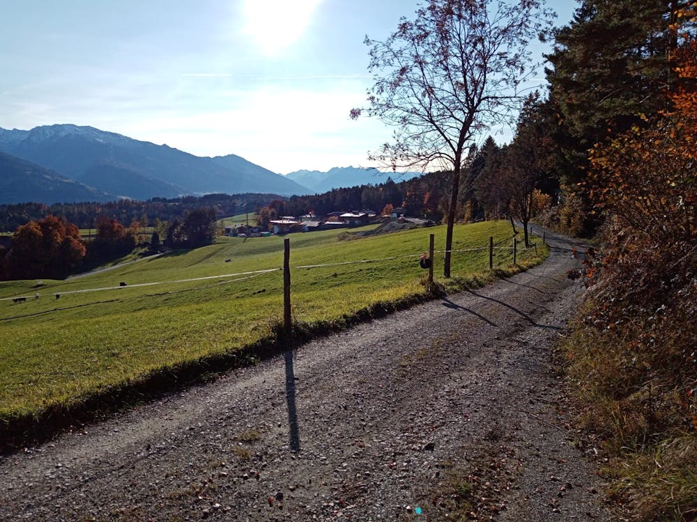
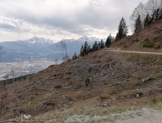
Once back in the valley follow a jeep track through peaceful forests and then a road back to the start point.
Moderate
Mostly stable trail tread with some variability, with unavoidable obstacles 8in/20cm tall or less. Other obstacles such as rock gullies and steep sections may exist. Ideal for lower intermediate riders.

The trail contains some obstacles such as outcroppings and rock which could cause injury.
Away from help but easily accessed.
2.9 km away
A technically easy but physically tough route deep into a gorgeous valley.
Moderate Mountain Biking
8.6 km away
A technically easy but physically hard ride to a stunning and rustic mountain hut.
Moderate Mountain Biking
8.6 km away
A sunny and beautiful trip between 5 classic Austrian mountain huts.
Easy Mountain Biking
8.7 km away
Taking in no less than 3 excellent mountain huts, this is a medium-difficulty mountain bike ride with superb views on the southern side of the Inn valley.
Moderate Mountain Biking

7 routes · Alpine Climbing · Mountain Biking · Hiking · Trail Running
5 routes · Mountain Biking

24 routes · Mountain Biking