4.7 km away
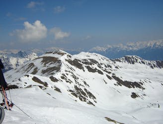
Stubai Ski Tour: Amberger Hut to Franz Senn Hut
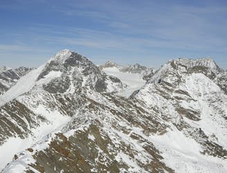
A long glacial skin to a short roped climb leading to one of two cols, before a long descent to the Franz Senn Hut.
Difficult Ski Touring
- Distance
- 12 km
- Ascent
- 1.1 km
- Descent
- 1.1 km
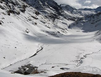
Leichte Skihochtour mit Einkehrmöglichkeit
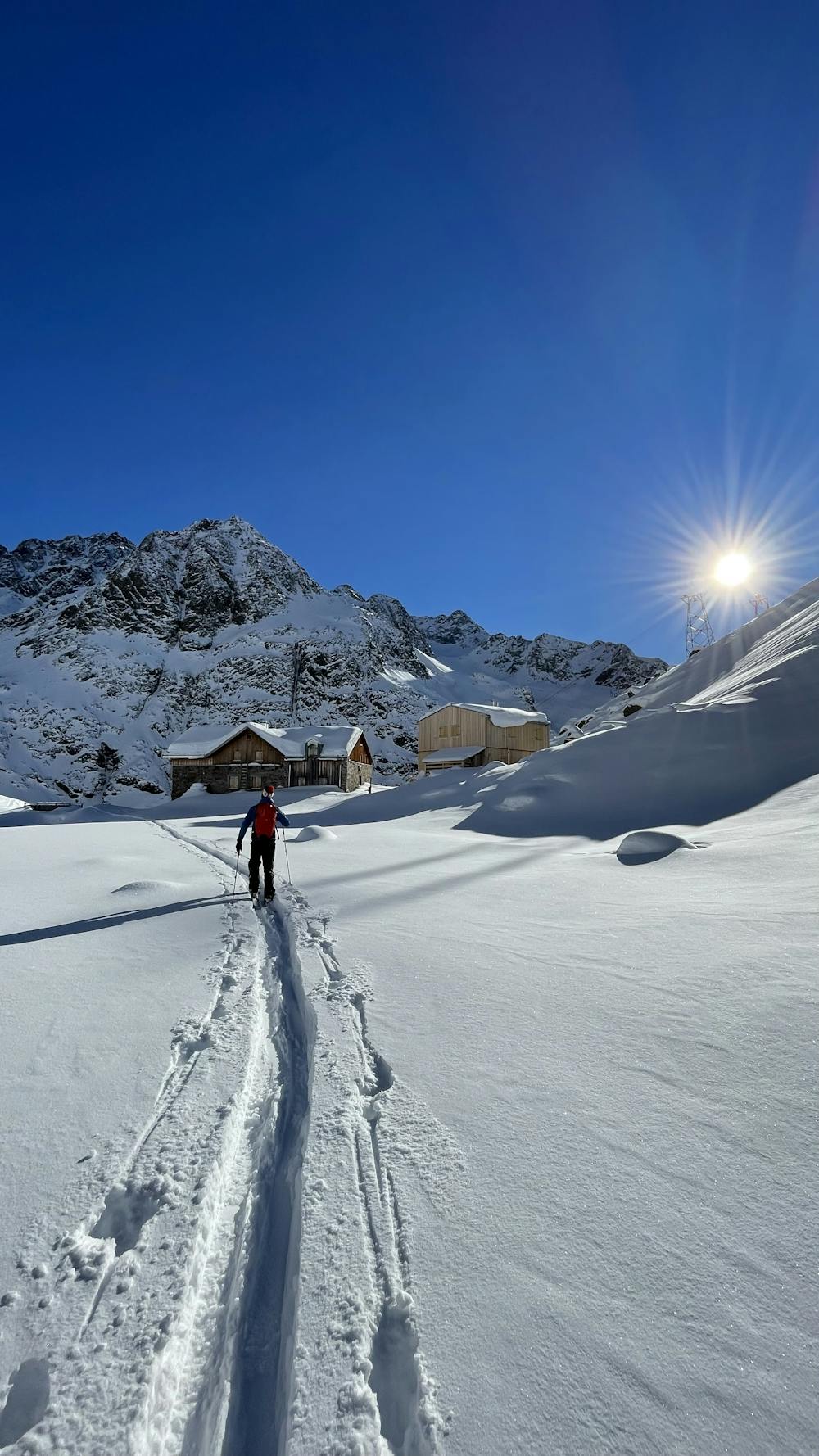
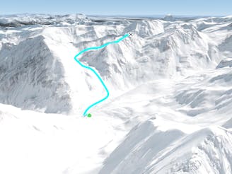
Ski Touring Moderate

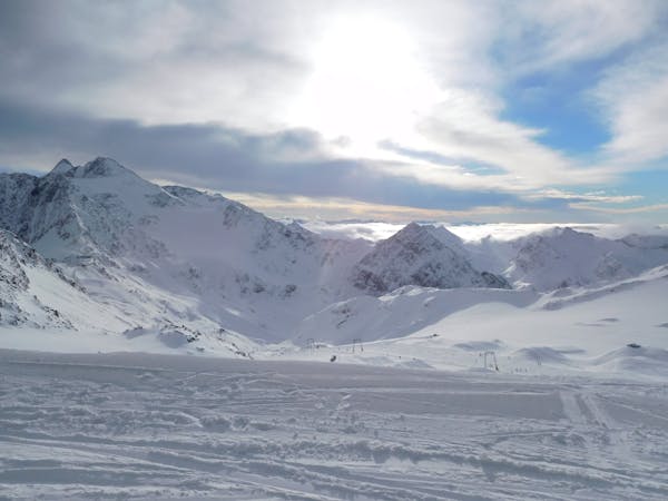
This is a popular ski touring route which is generally considered to be moderate. It's remote, it features medium exposure (e2) and is typically done between February and April. From a low point of 1.7 km to the maximum altitude of 3.3 km, the route covers 15 km, 1666 vertical metres of ascent and 1661 vertical metres of descent. You'll need skins and glacier kit to complete it safely.
Grösstenteils gemässigter Anstieg mit nur wenigen Steilstufen. Begehung des Grieskogelferners war ohne Gletscherausrüstung möglich. Einkehrmöglichkeit auf der Winnebachseehütte.
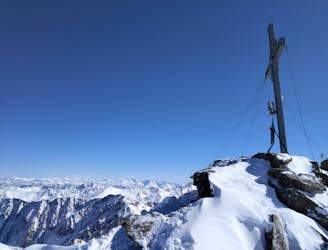
Moderate
Slopes become slightly steeper at around 25-30 degrees.

As well as the slope itself, there are some obstacles (such as rock outcrops) which could aggravate injury.
Away from help but easily accessed.
4.7 km away
A long glacial skin to a short roped climb leading to one of two cols, before a long descent to the Franz Senn Hut.
Difficult Ski Touring
4.7 km away
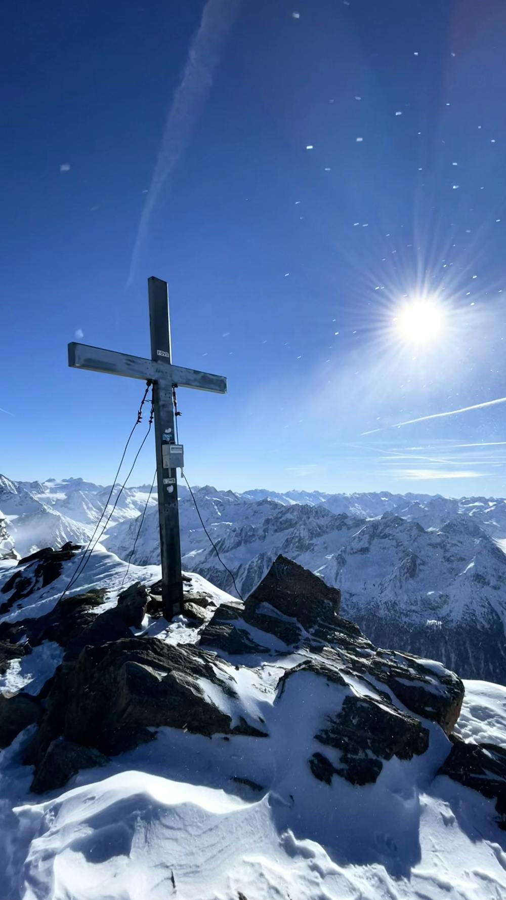
A day tour up the classic Kuhscheibenspitze, 3189m
Difficult Ski Touring
4.7 km away

Einsame sonnseitige Frühjahrsabfahrt.
Moderate Ski Touring
4.7 km away

Eine einfache, unvergletscherte Skitour im Schatten steiler Felswände.
Moderate Ski Touring
4.7 km away

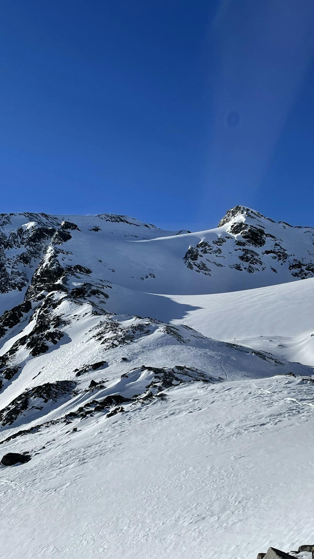
Über Eis und Steilrinnen auf einen Panoramagipfel der Stubaier Alpen
Difficult Ski Touring
4.7 km away

Skitour über den Schwarzenbergerferner und Gratkletterei auf einen Gipfel mit einer Rundumsicht, die ihresgleichen sucht!
Difficult Ski Touring
9.5 km away
This is a mainly downhill day to get the ski legs in, with the option of a ski summit by going up a side valley.
Moderate Ski Touring
9.7 km away
Nordseitige Pulverabfahrten mit einem einsamen kreuzlosen Gipfel
Easy Ski Touring
9.7 km away

Lange Skihochtour in das Herz der Stubaier Alpen.
Severe Ski Touring
9.7 km away
Einer der schönsten Anstiege im Sellrain traumhafter Rundumblick und herrliche Firnhänge belohnen den steilen Anstieg durch das wundervolle Kar.
Moderate Ski Touring
5 routes · Ski Touring

17 routes · Ski Touring