3.3 km away
Rosslaufspitze
An excellent tour just a few steps from the Inntal
Moderate Ski Touring
- Distance
- 11 km
- Ascent
- 1.1 km
- Descent
- 1.1 km
https://www.runskitirol.com/skimo/gilfert
Ski Touring Moderate

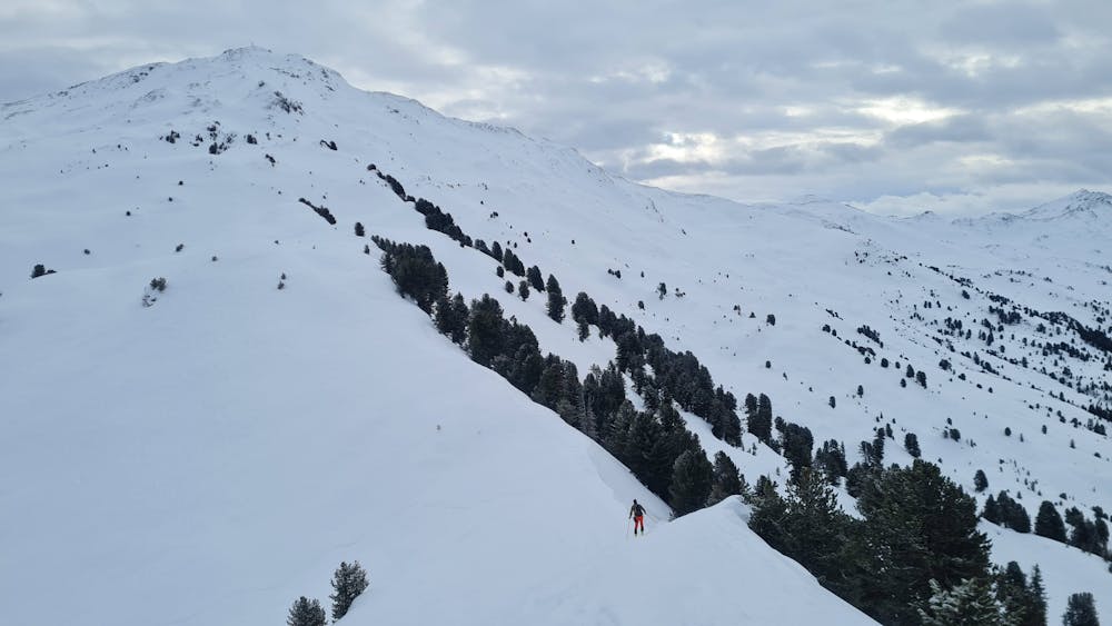
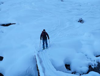
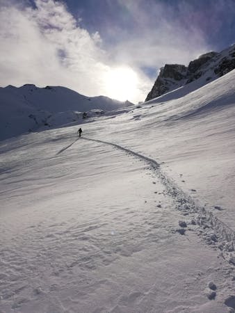
This is a popular ski touring route which is generally considered to be moderate. It's not remote, it features low exposure (e1) and is typically done between December and April. From a low point of 1.3 km to the maximum altitude of 2.5 km, the route covers 14 km, 1254 vertical metres of ascent and 1254 vertical metres of descent. You'll need skins to complete it safely.
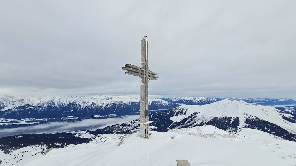
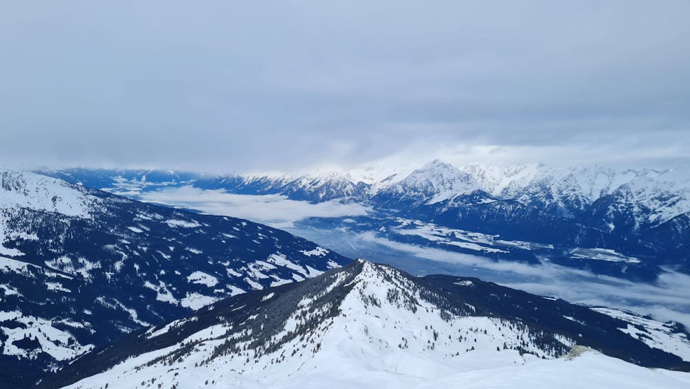

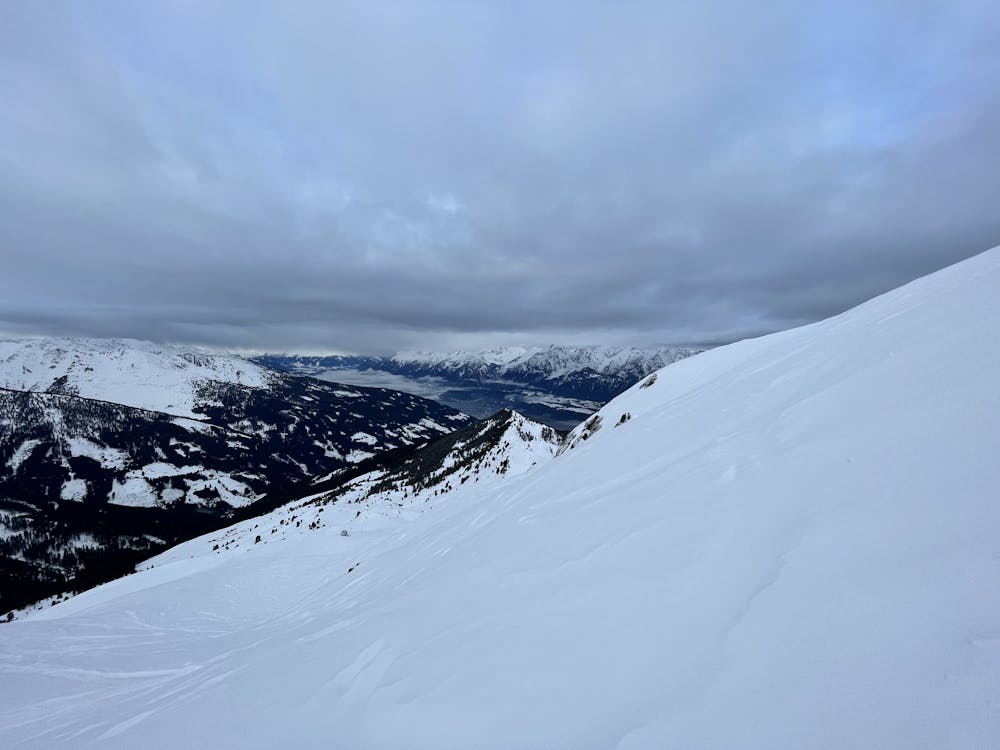
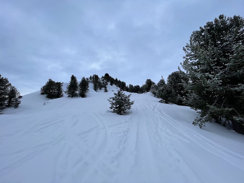
An enjoyable tour from Hausstatt to the summit of Gilfert with descent through Lafasteralm or Nonsalm with great views over Tuxer Alps and Inn Valley.
Moderate
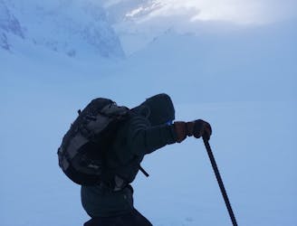
Slopes become slightly steeper at around 25-30 degrees.

Exposure is limited to that of the slope itself. Getting hurt is still likely if the slope is steep and/or the snow is hard.
Close to help in case of emergency.
3.3 km away
An excellent tour just a few steps from the Inntal
Moderate Ski Touring
7.6 km away
Short ski tour with a little ridge climb and a beautiful descent
Moderate Ski Touring
9.6 km away
An incredible, long circuit around some of the Tirol's most wild peaks.
Moderate Ski Touring
5 routes · Ski Touring

25 routes · Ski Touring