709 m away
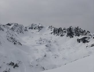
Ruderhofspitze South Face
Get top to the top of this iconic peak in the Stubaier Alps!
Difficult Ski Touring
- Distance
- 8.9 km
- Ascent
- 1.7 km
- Descent
- 1.7 km
One huge climb up then a peachy powder descent
Ski Touring Moderate

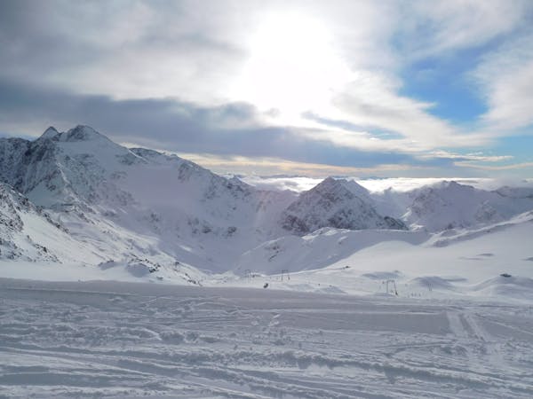
Sadly, once again this year, Es was unable to join the three of us, but, like Arnie, he assured us "I'll be back" for 2024. An early bus took us to the unglamorous car park where we'd left off last year. I'd spent a long time plotting various possible routes, some of which involved skinning up through the ski area, but luckily we rejected those ones, electing for a journey involving seeing nobody.

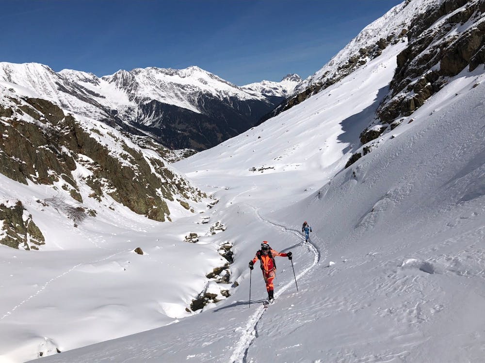

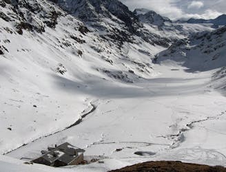
Instead we skied initially down a narrow footpath, much easier than than walking through the icy car park, where I'd briefly found my feet higher than my head, within a minute of setting off... Quickly we found ourselves at the foot of the long valley that climbs up a deep gorge and past the Nurnberg Hut. The passability of the gorge was certainly an unknown quantity. Luckily it went, but only just, as there was a cunning snowy bench that avoided the precipitous drops into the icy plunge pools. These might easily have been a show stopper, and not possible to predict from the map- lucky!
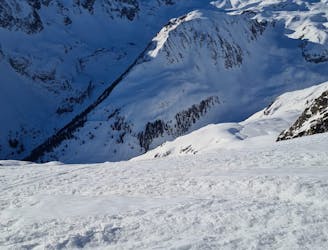
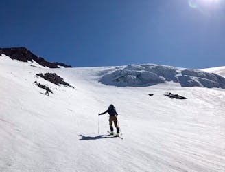
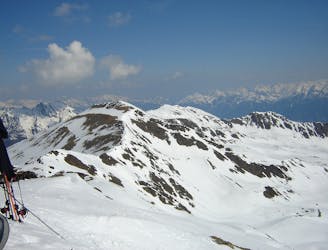
Above the terrain opened up into proper mountain scenery with towering peaks all around. There had been fresh snow the previous few days and the pristine wilderness was uplifting. Not a soul to be seen, the only tracks from animals, birds and our skis.
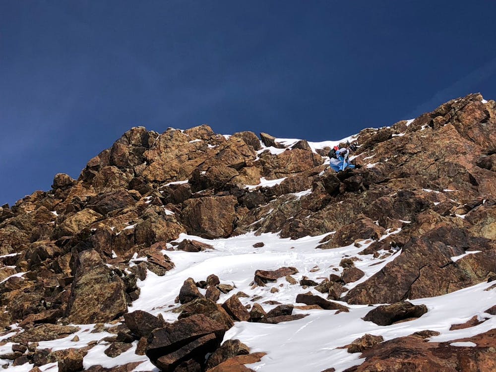
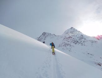
Above the hanging valley we skinned up, lay complex terrain over a col to the NE. We shouldered our skis and scrambled up some mixed terrain to access it, hard enough to be exciting, but not quite needing the rope.
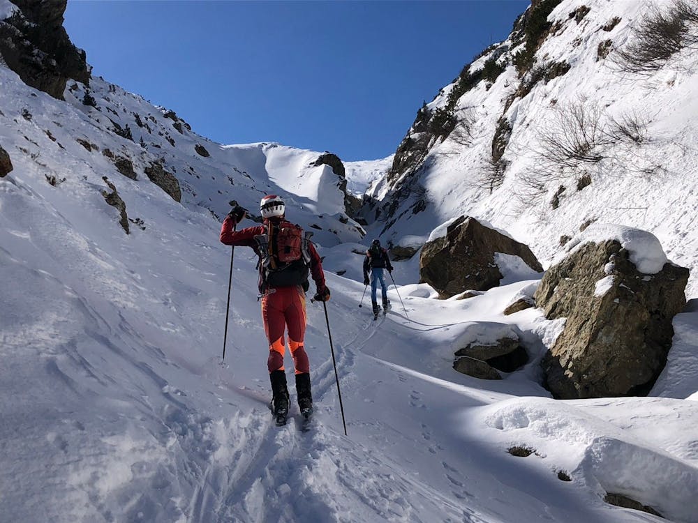
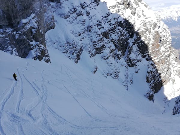
And what a treat lay the far side- fresh tracks in lovely cold powder, no trace of previous visits on this col that undoubtedly sees very few visitors. The loveliness continued a long way down, until at about the level of the Bremer Hut, then it was the opposite! Unskiable intermittent snow with forced us to walk downhill on breakable crust before the long valley to Steinach offered us cross country tracks for a decent distance. Somewhat surreal finishing your ski tour walking under a huge concrete motorway bridge, as Steinach lies just underneath the main Brenner Pass motorway. A decent start to the week!
Moderate
Slopes become slightly steeper at around 25-30 degrees.

As well as the slope itself, there are some obstacles (such as rock outcrops) which could aggravate injury.

In the high mountains or remote conditions, all individuals must be completely autonomous in every situation.
709 m away
Get top to the top of this iconic peak in the Stubaier Alps!
Difficult Ski Touring
4.1 km away
A long tour through the northern Stubai Alps.
Extreme Ski Touring
4.7 km away
A tour to the peak of one of the Stubai Seven Summits.
Severe Ski Touring
5 km away
This is a mainly downhill day to get the ski legs in, with the option of a ski summit by going up a side valley.
Moderate Ski Touring
5.7 km away
A wonderful, varied and scenic tour to the highest peak in the Stubai range.
Difficult Ski Touring
7.5 km away

Über Eis und Steilrinnen auf einen Panoramagipfel der Stubaier Alpen
Difficult Ski Touring
7.5 km away

Skitour über den Schwarzenbergerferner und Gratkletterei auf einen Gipfel mit einer Rundumsicht, die ihresgleichen sucht!
Difficult Ski Touring
7.5 km away

Einsame sonnseitige Frühjahrsabfahrt.
Moderate Ski Touring
7.5 km away

Eine einfache, unvergletscherte Skitour im Schatten steiler Felswände.
Moderate Ski Touring
7.5 km away
A day tour up the classic Kuhscheibenspitze, 3189m
Difficult Ski Touring
5 routes · Ski Touring

17 routes · Ski Touring

25 routes · Ski Touring
6 routes · Ski Touring