1 m away
Serles North Couloir
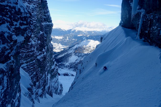
An aesthetic, atmospheric and exciting line off Innsbruck's most famous peak.
Severe Ski Touring
- Distance
- 6.9 km
- Ascent
- 1 km
- Descent
- 1 km

An exciting and varied route up the peak which dominates the Innsbruck skyline.
Ski Touring Severe

A long and serious tour which rewards you with perhaps the finest summit view in the Tirol, from the most famous peak in the region.
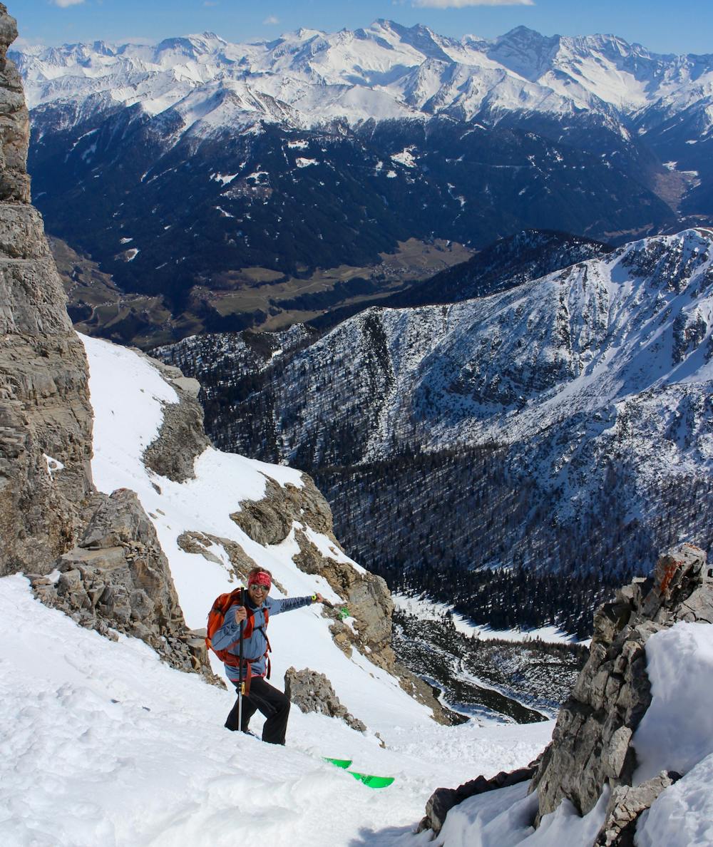
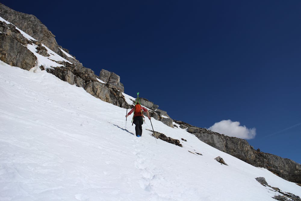
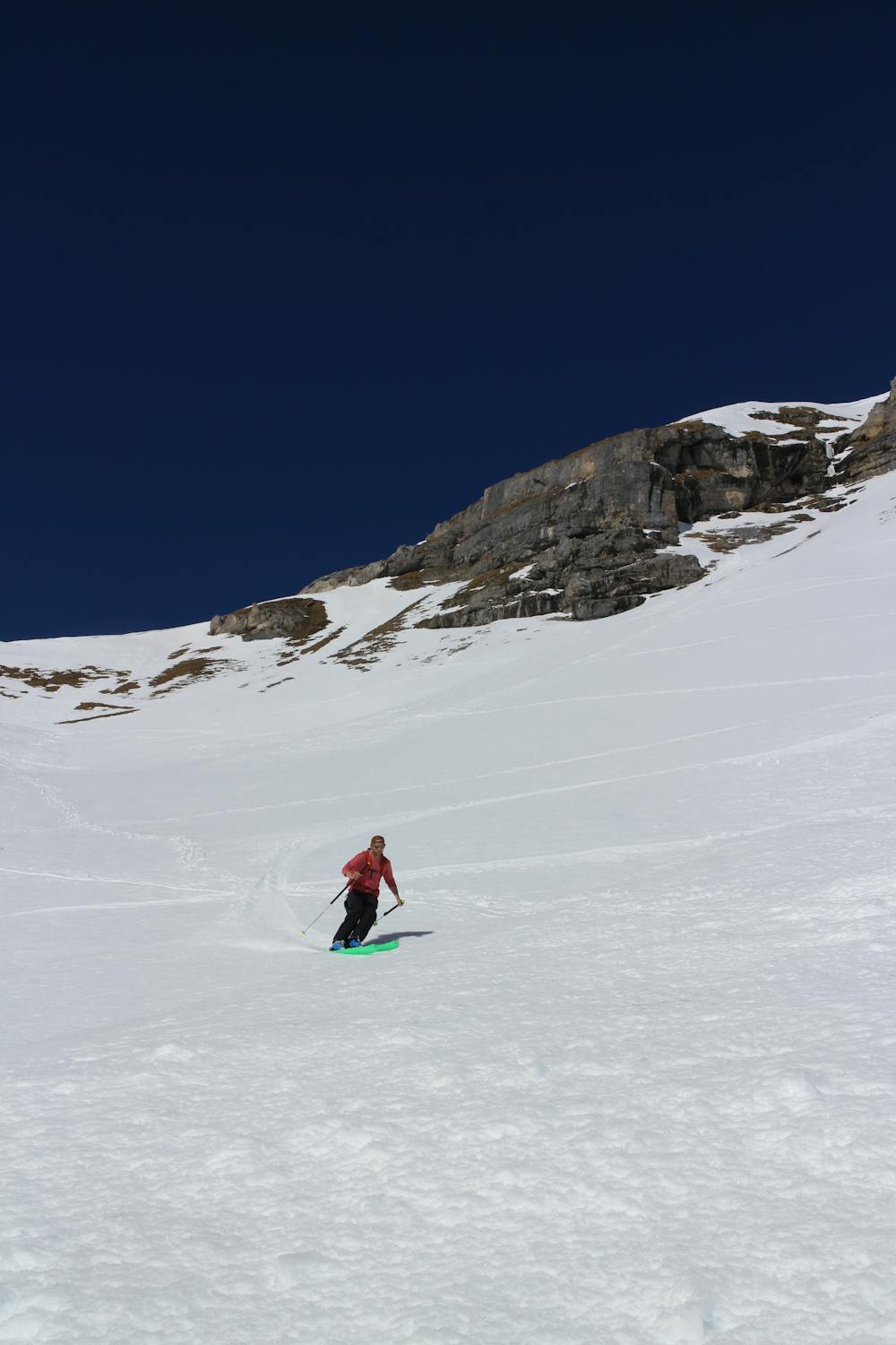
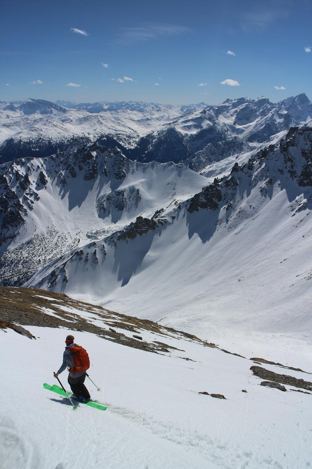
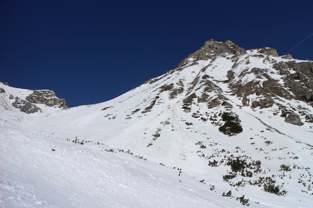
The tour begins from a small parking area on the road that leads from Matrei am Brenner village up towards the Maria Waldrast monastery. In the depths of winter you'll need to skin up to the parking place but given that this tour is best done spring time, you'll normally be able to drive up.
Start by poling down to a dip north of the Ochsenalm mountain hut and put skins on here. Skin north-west up the foot of the valley as it passes beneath the huge and imposing east face of Serles and then, as the trees begin to thin out, turn due west and climb up into the beautiful bowl from where the rest of the route begins to reveal itself.
Climb up the bowl until you are underneath the south face of Serles, which is split by a long, horizontal 30 metre high cliff band . There is only one way to skin through this and it's through a small, 5 metre wide couloir which splits the otherwise impenetrable cliffs. Skin up to and then through the couloir to gain the huge open face above. (If conditions don't look suitable for skinning up the face, a safer option can be to carry on skinning to the Serlesjöchl Col and scrambling up the south-west ridge of the mountain, as you do if skiing the north couloir).
Skin up the face, trying not to think about the growing exposure and the cliff band below. In anything other than good conditions it's probably a good idea to bootpack the face rather than skin up it, because it's continually over 35 degrees and if you fell whilst skinning it could be disastrous. Whether you skin or bootpack, treat the face with respect and don't rush too much.
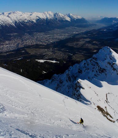
Eventually you reach the summit tower - leave your skis at the foot of this and scramble easily onto the summit. The view is staggering and having been on the south side of Serles for so long, it is something of a shock to suddenly see Innsbruck far beneath you to the north. As well as the view across the city, there's also wonderful vistas of the Ortler and Stubai mountains, as well as much of your ascent route.
Having taken plenty of photos and signed the summit book, descend by your ascent route, enjoying the steep upper face, the beautiful bowl below and finally some fun tree skiing.
Severe
Steep skiing at 38-45 degrees. This requires very good technique and the risk of falling has serious consequences.
1 m away

An aesthetic, atmospheric and exciting line off Innsbruck's most famous peak.
Severe Ski Touring
2.3 km away
A playful and enjoyable classic North facing couloir in Serles!
Severe Ski Touring
8.6 km away
A lovely ski tour which takes in some fine scenery.
Moderate Ski Touring
8.6 km away
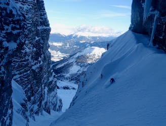
A steep, narrow and other-worldly line in amongst the towering walls of the Kalkogel peaks.
Difficult Ski Touring
8.6 km away
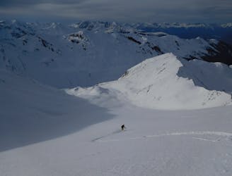
A brilliant journey that begins in a lift system and ends in a wild and peaceful valley.
Difficult Ski Touring
9.2 km away
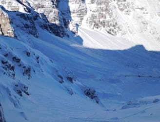
A beautiful freeride couloir.
Moderate Ski Touring
9.7 km away

A great little lift assisted ski tour which begins at the top of the Olympiabahn lift and finishes at the bottom of it.
Moderate Ski Touring
5 routes · Freeride Skiing · Ski Touring
5 routes · Ski Touring

50 routes · Freeride Skiing · Ski Touring
6 routes · Ski Touring
25 routes · Ski Touring
6 routes · Ski Touring