6.1 km away
Rosslaufspitze
An excellent tour just a few steps from the Inntal
Moderate Ski Touring
- Distance
- 11 km
- Ascent
- 1.1 km
- Descent
- 1.1 km
Skitour in a nice area with wide hills and good descents
Ski Touring Moderate

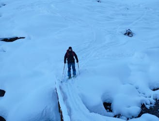
This is a popular ski touring route which is generally considered to be moderate. It's very remote, it features medium exposure (e2) and is typically done between December and March. From a low point of 1.5 km to the maximum altitude of 2.4 km, the route covers 11 km, 938 vertical metres of ascent and 934 vertical metres of descent. You'll need skins to complete it safely.
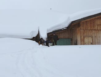
Approach through the valley and turn right at the alp. Then find your way up the mountain, passing by under the "kleiner Giilfert", continuing to the Pfundsjoch.
Moderate
Slopes become slightly steeper at around 25-30 degrees.

As well as the slope itself, there are some obstacles (such as rock outcrops) which could aggravate injury.

Little chance of being seen or helped in case of an accident.
6.1 km away
An excellent tour just a few steps from the Inntal
Moderate Ski Touring
6.9 km away
Short ski tour with a little ridge climb and a beautiful descent
Moderate Ski Touring