
164 m away
Naviser Kreuzjöchl
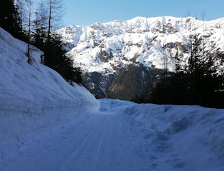
The classic of classics in the Navis valley!
Difficult Ski Touring
- Distance
- 12 km
- Ascent
- 1.2 km
- Descent
- 1.2 km
https://www.runskitirol.com/skimo/geier-round-from-navis
Ski Touring Severe

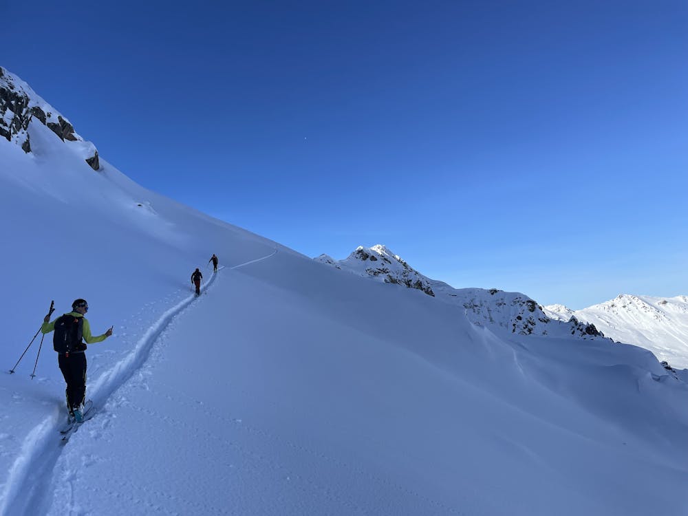
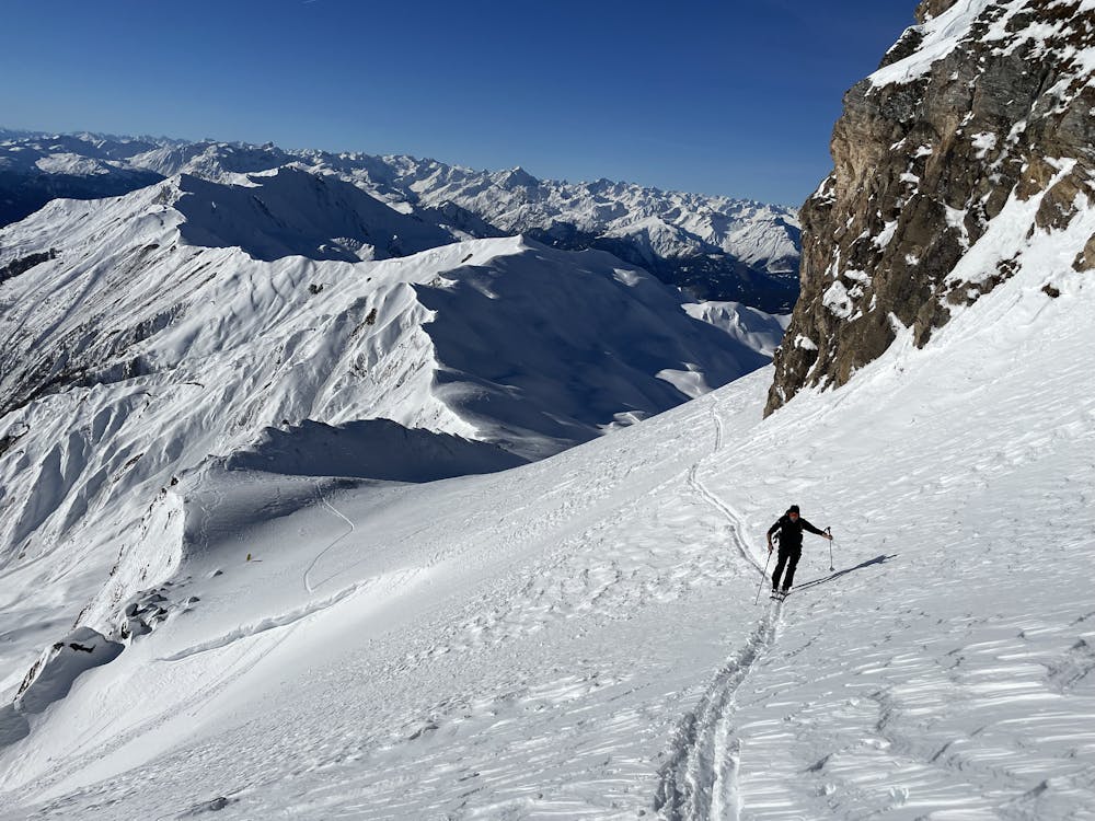
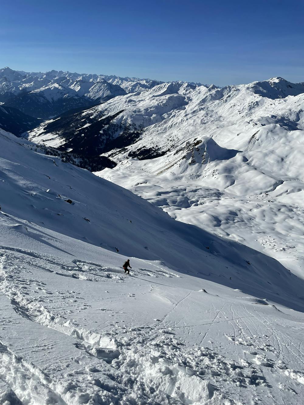
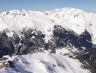
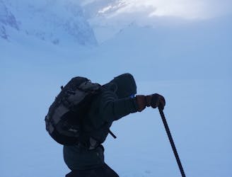
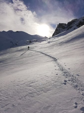
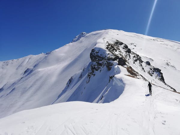
This is a popular ski touring route which is generally considered to be severe. It's remote, it features low exposure (e1) and is typically done between December and April. From a low point of 1.4 km to the maximum altitude of 2.9 km, the route covers 22 km, 2275 vertical metres of ascent and 2274 vertical metres of descent. You'll need skins to complete it safely.
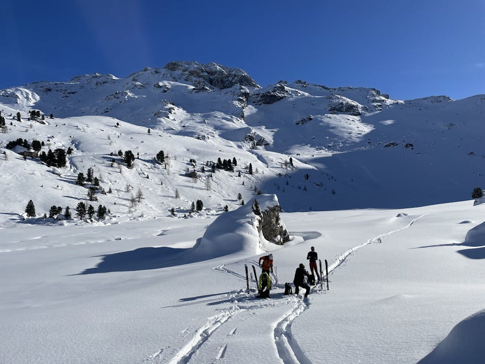
A longer round in Tuxer Alps, starting from the village of Navis close to Brenner and traversing the summits of Naviser Kreuzjöchl and Geier to Wattener Lizum and then over a col back to Navis. Highly dependant on right avalanche conditions without easy options for retreat.
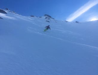
Severe
Steep skiing at 38-45 degrees. This requires very good technique and the risk of falling has serious consequences.

Exposure is limited to that of the slope itself. Getting hurt is still likely if the slope is steep and/or the snow is hard.

Away from help but easily accessed.
164 m away
The classic of classics in the Navis valley!
Difficult Ski Touring
478 m away
A mellow, sunny ski tour in wild surroundings.
Moderate Ski Touring
1.1 km away
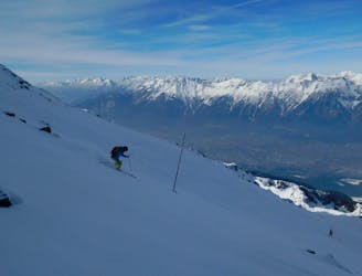
A stunning tour and a fabulous ski descent through some of the finest terrain in Tirol.
Severe Ski Touring
9.1 km away
A fun tour to a mountain hut and a spectacular view.
Moderate Ski Touring
9.8 km away
An incredible, long circuit around some of the Tirol's most wild peaks.
Moderate Ski Touring
5 routes · Ski Touring

50 routes · Freeride Skiing · Ski Touring
3 routes · Ski Touring

25 routes · Ski Touring