2.3 km away
Bergisel Panorama
A great little hit of wilderness which is easily reached from the city.
Moderate Trail Running
- Distance
- 2.8 km
- Ascent
- 122 m
- Descent
- 119 m
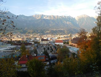
High Alpine joy over the Inn valley
Trail Running Severe

This is a popular trail running route which is generally considered to be severe. It's remote, it features medium exposure and is typically done between July and October. From a low point of 538 m to the maximum altitude of 2.8 km, the route covers 74 km, 5146 vertical metres of ascent and 5501 vertical metres of descent.
-
Severe

The trail contains some obstacles such as outcroppings and rock which could cause injury.
Away from help but easily accessed.
2.3 km away
A great little hit of wilderness which is easily reached from the city.
Moderate Trail Running