7 km away
Bergisel Panorama
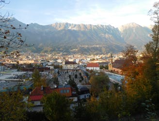
A great little hit of wilderness which is easily reached from the city.
Moderate Trail Running
- Distance
- 2.8 km
- Ascent
- 122 m
- Descent
- 119 m
https://www.runskitirol.com/trails/thaurer-alm-vintlalm-rumer-alm
Trail Running Moderate

This is a popular trail running route which is generally considered to be moderate. It's not remote, it features low exposure and is typically done between May and October. From a low point of 833 m to the maximum altitude of 1.6 km, the route covers 15 km, 900 vertical metres of ascent and 902 vertical metres of descent.
An easy round right above Innsbruck connecting huts in the Nordkette mountain range.
Moderate

The path is on completely flat land and potential injury is limited to falling over.
Close to help in case of emergency.
7 km away
A great little hit of wilderness which is easily reached from the city.
Moderate Trail Running