
1.7 km away
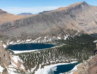
Bertha Lake Trail
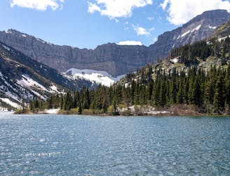
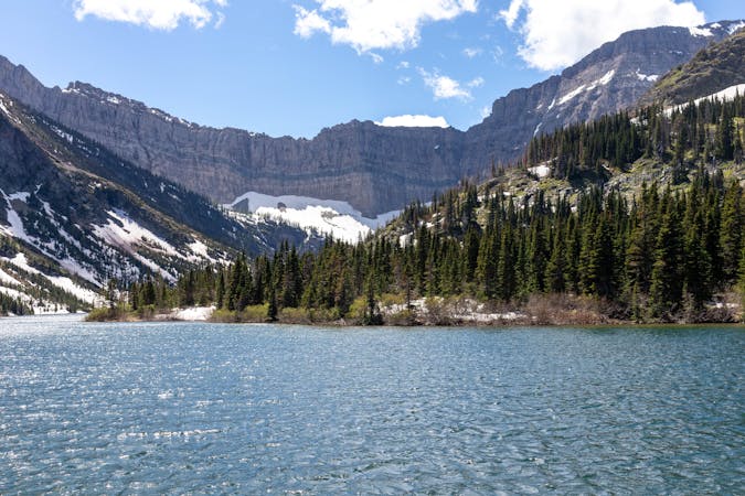
A beautiful trail with numerous viewpoints along the way as you climb up to the picturesque Bertha Lake.
Moderate Hiking
- Distance
- 15 km
- Ascent
- 656 m
- Descent
- 656 m
A short hike with superb views as you look out over Waterton Lake.
Hiking Moderate

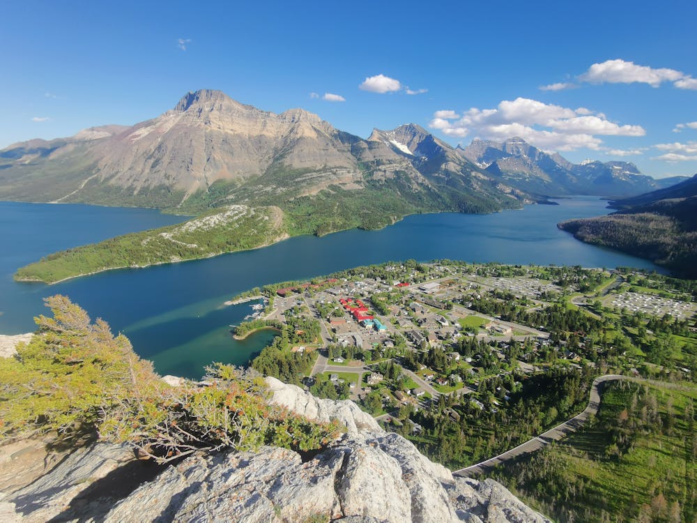
The Bears Hump Trail is one of the most accessible trails in Waterton National Park. This trail has been rebuilt after it was destroyed by a forest fire back in 2017.
The newly constructed trail is very well maintained, but with almost 300m of elevation to gain, it's still a workout to get to the top.
You will see plenty of evidence of the forest fire that raged through this area on the trail. All of the trees are burned, but that does make for some great views on the way up, with a bright contrast between the scorched forest and lush green plants that are now starting to grow.
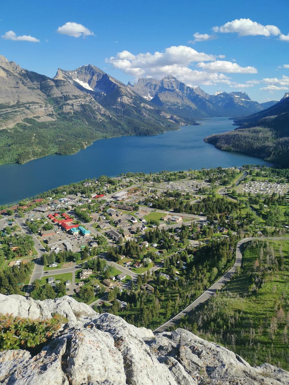
This trail does attract a larger crowds but for good reason - the views from the lookout are fantastic and it's well worth the short hike. You will struggle to find a better vantage point to see the townsite of Waterton with the stunning Waterton Lake in the Background.
Although this is a well maintained and popular trail that is very accessible, it is worth noting that the lookout is still on a rugged mountain. There are no barriers or platforms here to keep you from getting close to the edge and it's a sheer drop below.
No trip to Waterton is complete without making it up this trail. Even if you are not an avid hiker, this trial is easy enough that most people can make it up and down in 1-2 hours. So if you want a spectacular viewpoint in Waterton but only have a few hours spare, then this is the perfect trail for you.
There is a possibility of seeing wildlife on this trail, including both black and grizzly bears. Waterton is a popular habitat for bears, so carrying bear spray is highly recommended even on shorter trails such as this one.
Moderate
Hiking along trails with some uneven terrain and small hills. Small rocks and roots may be present.

The path is on completely flat land and potential injury is limited to falling over.
Close to help in case of emergency.
1.7 km away
A beautiful trail with numerous viewpoints along the way as you climb up to the picturesque Bertha Lake.
Moderate Hiking
3.5 km away
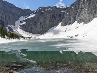
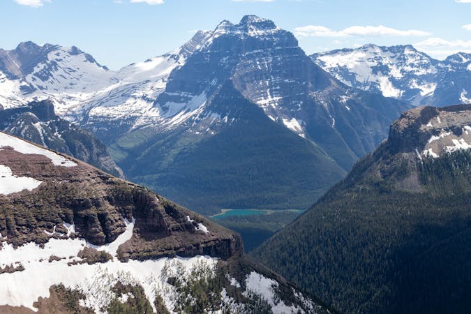
An exciting and beautiful trail, which is just as much about the journey as it is the destination.
Severe Hiking
6.9 km away
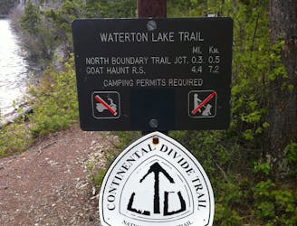
A classic finish to the CDT that ends at Waterton Park in Canada.
Moderate Hiking
7.6 km away
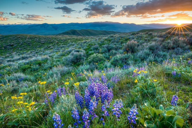
A long but rewarding trail with lakes, wildflowers and outstanding alpine views.
Difficult Hiking

40 routes · Hiking
13 routes · Hiking
3 routes · Hiking
3 routes · Hiking