2 m away
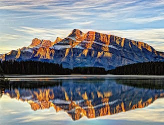
Mount Edith North Peak
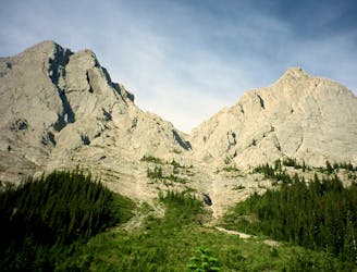
Hike and scramble to the first of Mount Edith's three peaks.
Extreme Hiking
- Distance
- 12 km
- Ascent
- 1.2 km
- Descent
- 1.2 km
A steep, rocky, and shaded hike with seriously beautiful scenery.
Hiking Difficult

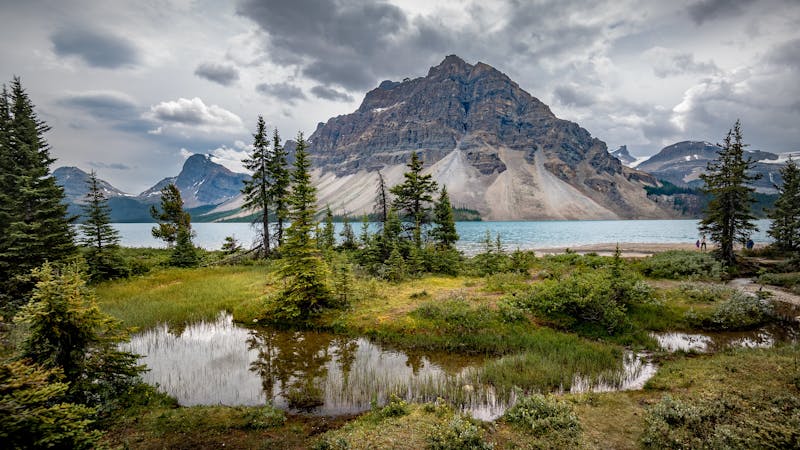
The Cory Pass Edith Pass loop trail is known to be one of Banffs toughest and most beautiful hikes.
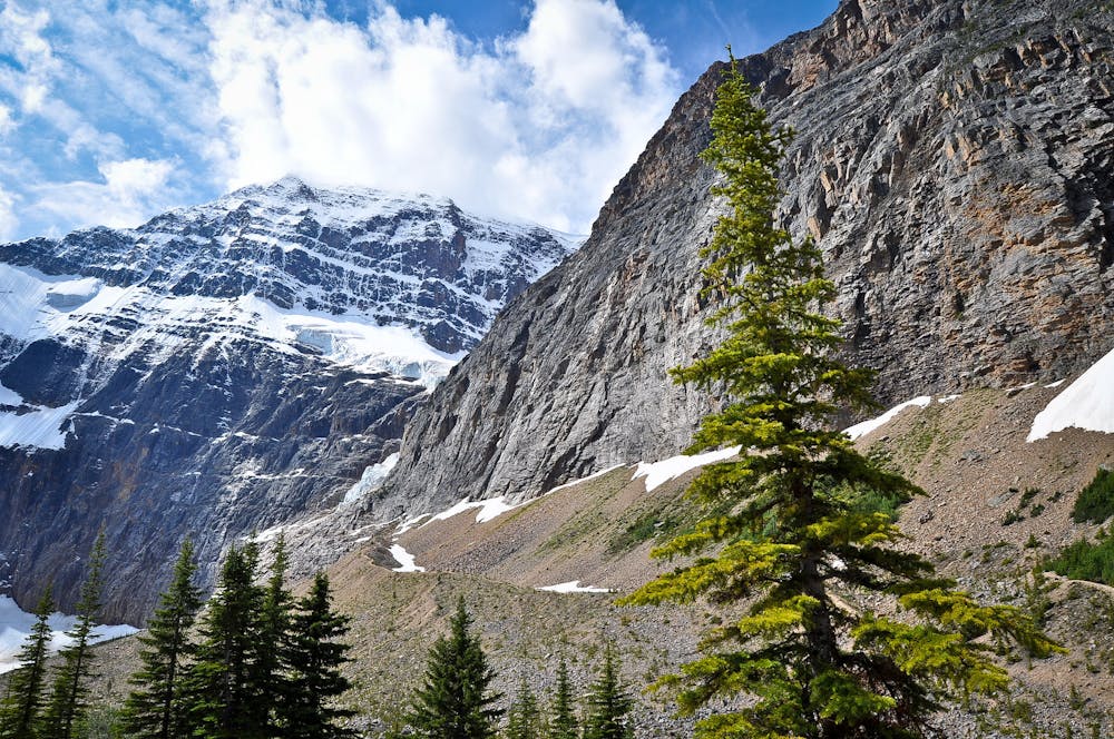
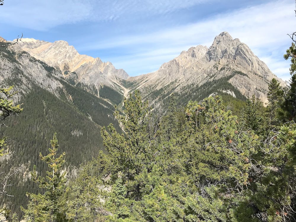
It's a very steep climb for the first two-thirds of the hike up Cory Pass which is mirrored at the end by an equally steep descent down Edith Pass on loose gravel. But the challenges underfoot are matched with the spectacularness of the views that surround, which is why this hike is so popular!
Starting at the Fireside Picnic Area you climb up first through a mixture of shaded woodland and exposed meadows. You’ll then hit the ridgeline, where as well as fantastic views of the surrounding mountainous landscape, you will have to scramble a bit over boulders, watching out for loose rocks. Cutting under Mount Edith, you then follow a river downstream, descending steeply through a rocky patch until you hit a beautiful pine forest. The path through the forest takes you back to your starting point, marking the end of the hike!
Sources
https://www.laidbacktrip.com/posts/cory-edith-pass-hike https://www.10adventures.com/hikes/banff/edith-and-cory-pass-circuit/ https://www.hikingproject.com/trail/7003939/cory-edith-passes
Difficult
Hiking trails where obstacles such as rocks or roots are prevalent. Some obstacles can require care to step over or around. At times, the trail can be worn and eroded. The grade of the trail is generally quite steep, and can often lead to strenuous hiking.

The trail contains some obstacles such as outcroppings and rock which could cause injury.
Away from help but easily accessed.
2 m away
Hike and scramble to the first of Mount Edith's three peaks.
Extreme Hiking
5.1 km away
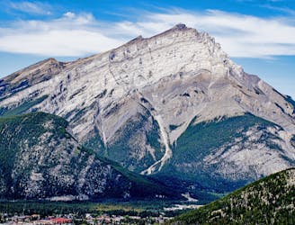
CascadeMountain, hiking the mythical Mountain of Banff
Severe Hiking
5.1 km away
Hike and scramble to the top of an impressive peak just outside the town of Banff.
Extreme Hiking
5.1 km away
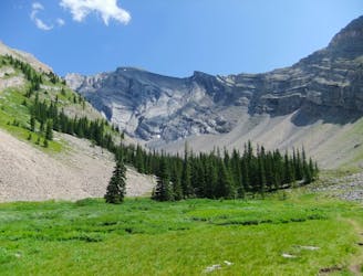
A dramatic alpine valley tucked high in the mountains near Banff.
Difficult Hiking
5.4 km away
Majestic Trails and Alpine Wonders
Difficult Hiking
6.8 km away
Beginner-friendly scramble to a summit just outside the town of Banff.
Extreme Hiking
5 routes · Hiking