12 m away
Epic Rockies Hikes: Mist Mountain Springs
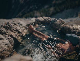
Natural hot springs on the side of an epic mountain.
Moderate Hiking
- Distance
- 6.2 km
- Ascent
- 511 m
- Descent
- 511 m
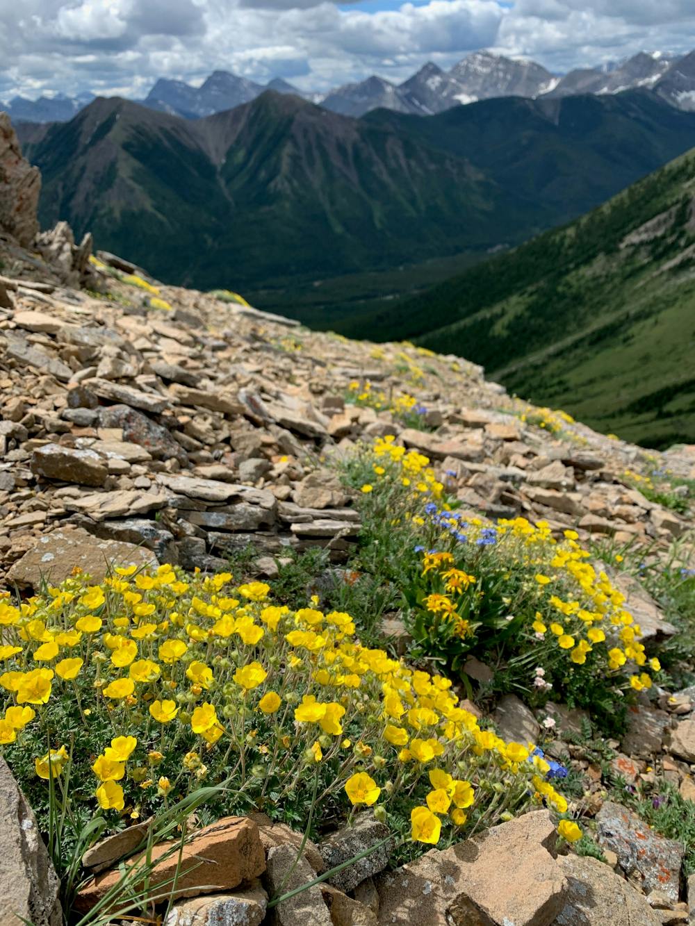
A great straight forward hike that offers wildflowers and great views.
Hiking Moderate

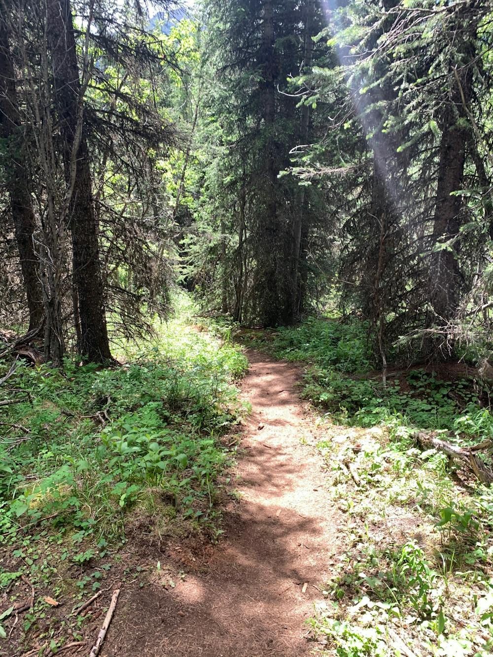
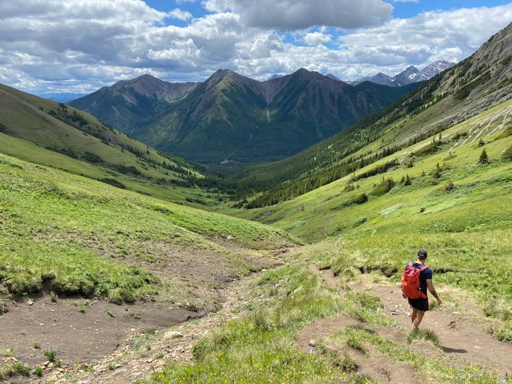
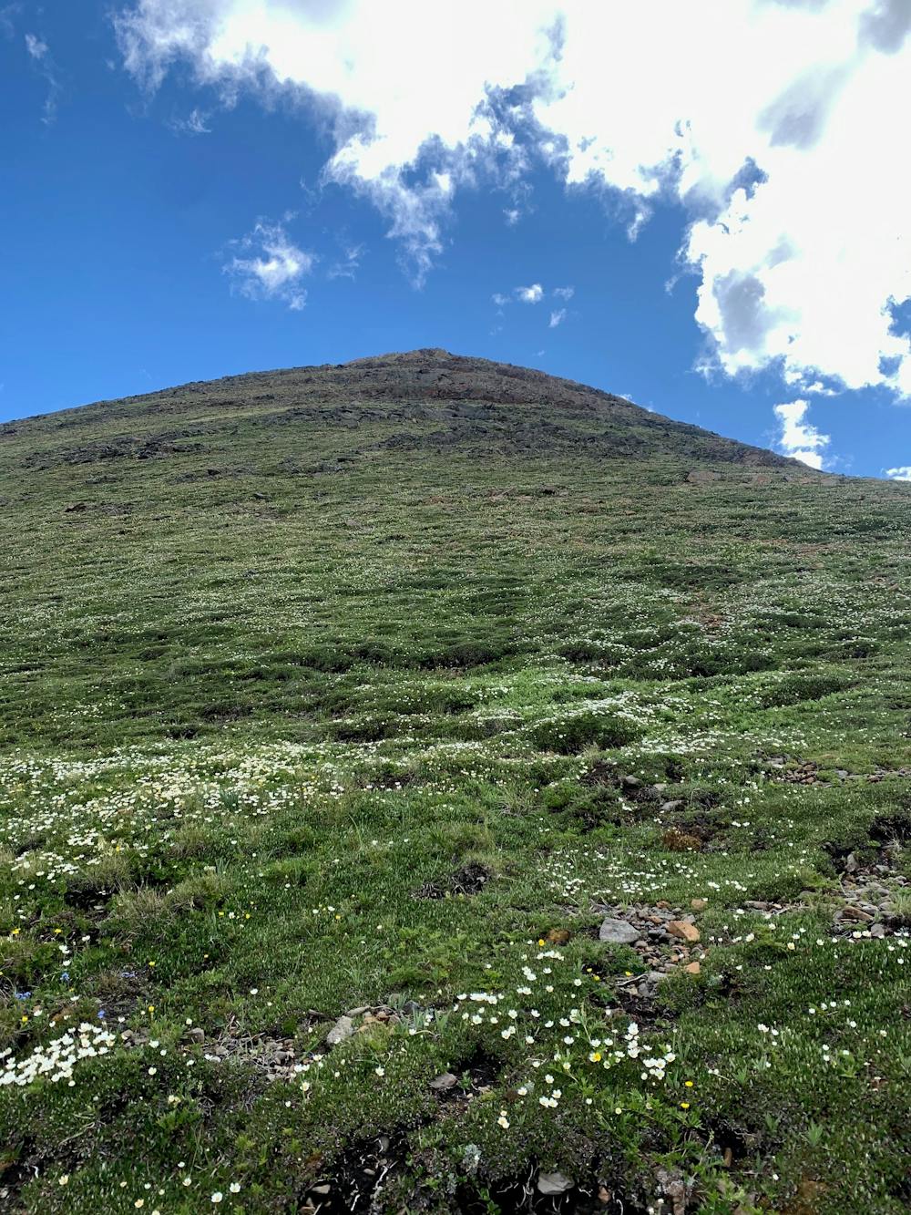
This hike starts in the Highwood area. It is a lightly-trafficked trail through the forest but then opens up into some great alpine. There are a ton of wildflowers and if you take a break, look back so you can see across the valley. The trail is dirt all the way to the saddle with limited steep sections.
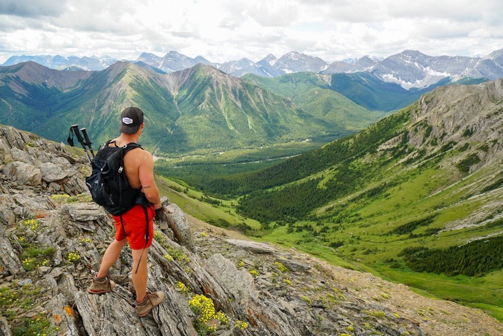
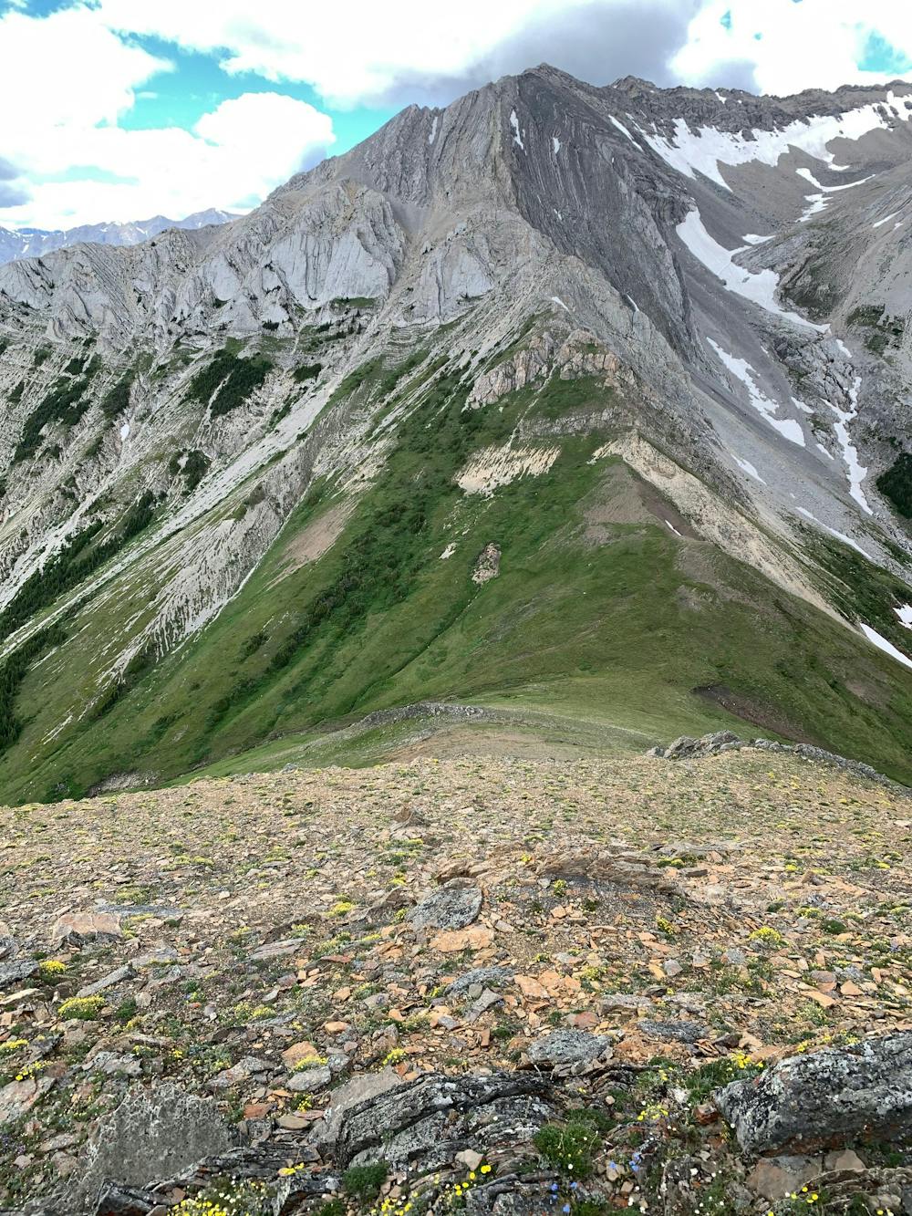
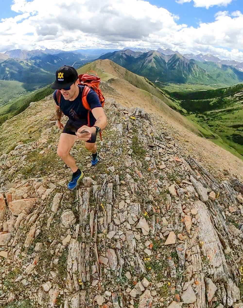
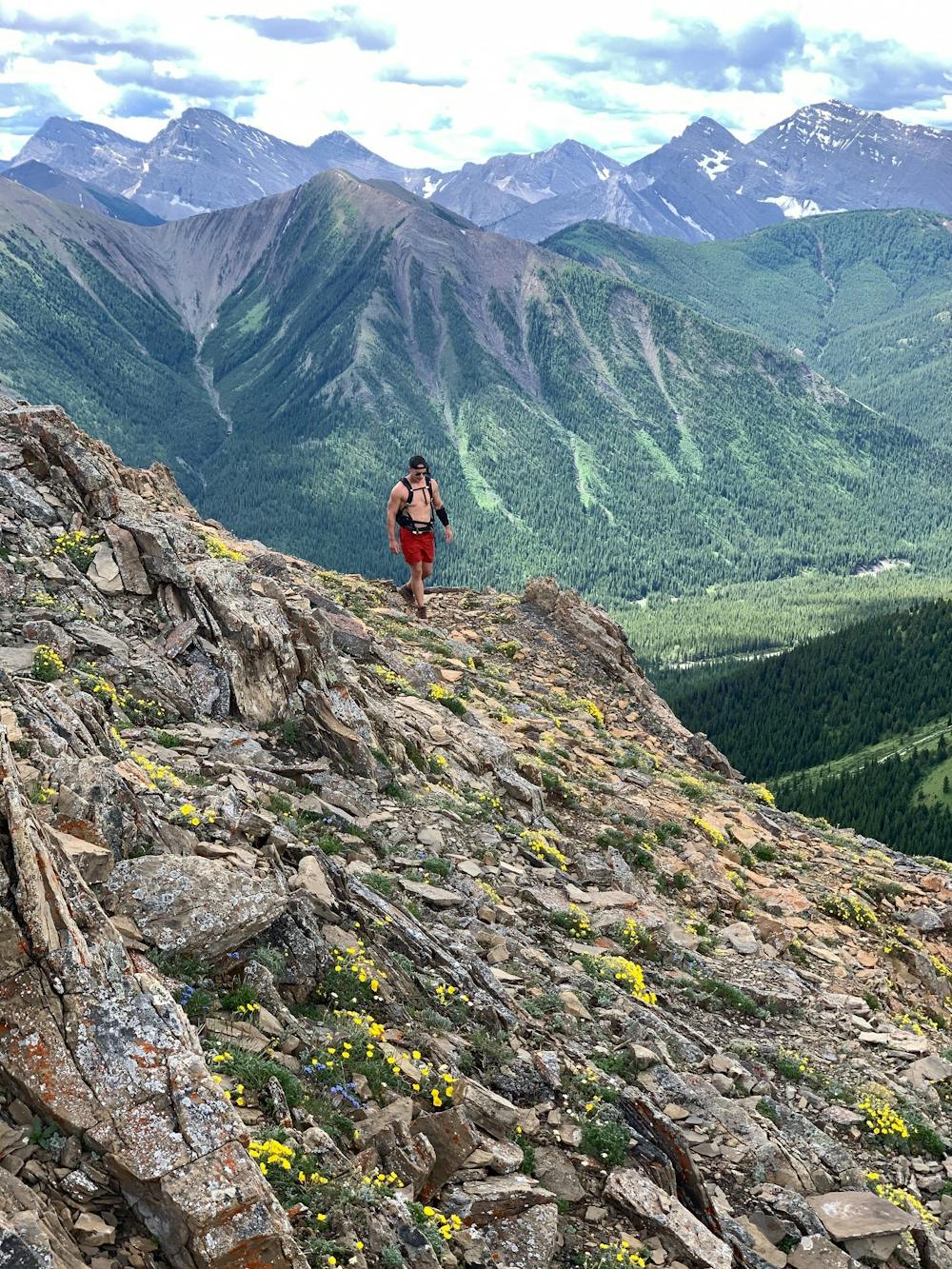
Once at the saddle, you will start to hike on the alpine grass where you can see a bit of a trail every now and then, but you can pick your own route up. This terrain is uneven and has some rocks, but moving slowly through it you will gain the peak and have a phenomenal ridge to walk with 360-degree views.
Note: you can walk down the ridge and continue to make a loop, but you will end up down the road from where you started. Otherwise, return to your car the way you came.
Moderate
Hiking along trails with some uneven terrain and small hills. Small rocks and roots may be present.

The trail contains some obstacles such as outcroppings and rock which could cause injury.
Away from help but easily accessed.
12 m away
Natural hot springs on the side of an epic mountain.
Moderate Hiking
4 routes · Hiking