12 m away
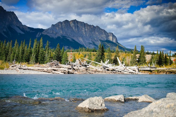
Eagle Ridge
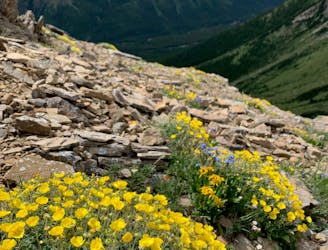
A great straight forward hike that offers wildflowers and great views.
Moderate Hiking
- Distance
- 5.6 km
- Ascent
- 603 m
- Descent
- 603 m
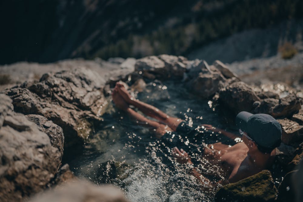
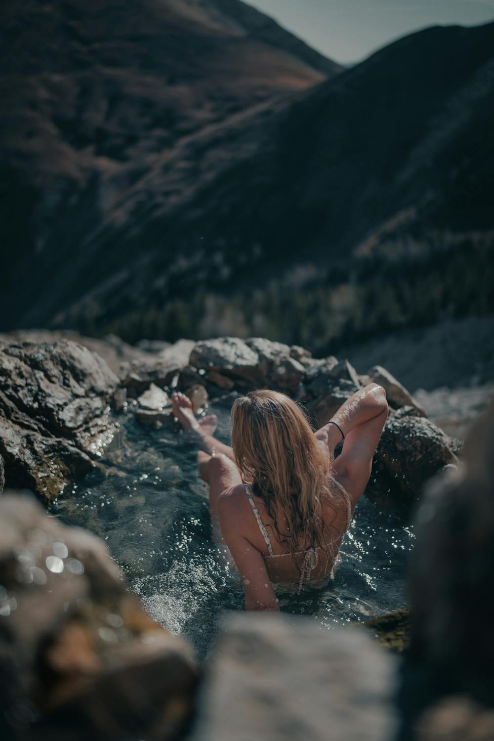
Natural hot springs on the side of an epic mountain.
Hiking Moderate

Hot springs near rivers, or at lower elevations are pretty common, and so are commercial hot springs. Those are great, but how epic are 100% natural, vegan, hot springs embedded into the alpine slope of a mountain, with epic alpine views? Tucked away in the middle of the Kananaskis range just outside of Calgary, you’ll find the Mist Mountain Springs, hot spring pools overlooking the epic rockies range.
The trail starts off the east side of Highway 40, around 15km south of Highwood pass, 200m away from the parking area, you’ll likely see cars parked on the side of the road here. This trail is fairly moderate, with a gradual incline of ~600m in total.
Follow the trail for Mist Mountain Summit until you reach a grassy saddle. From here, you’ll want to take a left and walk around the mountain. This is also an awesome spot for some photos in grassy meadows with mountains in the background. Once you see a waterfall, cross the stream under it and you’ll see a fork in the trail. To get to the springs, follow the main dirt trail. The scree trail takes you to the summit of Mist Mountain. You’ll head down and back up a bank, followed by a few more minutes of walking on the flat trail before you pop over the hot springs.
If you are bringing food or drinks, make sure you pack out any trash, including your empties. Leaving trash behind is not only bad because you’re littering, but you’ll also be attracting wildlife such as bears to the springs, putting future visitors and the bears themselves at risk.
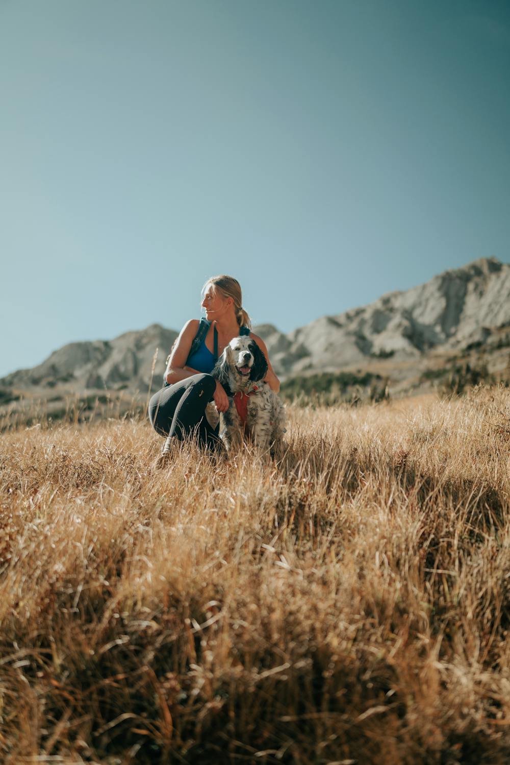
DOGS: Dogs are permitted on this trail, however scrambling is involved which means you will have to assist your dog in getting up the steeper sections, especially around the chimney. The descent down the scree may be hard on their paws as the rock is fairly sharp, booties can help with this. This trail is only recommended for dogs who have scrambling & scree experience.
NOTE: Bears are common in this area. You may also be required to purchase a Kananaskis Conservation Pass for $15 per day or $90 per year from Alberta.ca. Note that the road is also closed between Dec - June 15th.
Moderate
Hiking along trails with some uneven terrain and small hills. Small rocks and roots may be present.

The path is on completely flat land and potential injury is limited to falling over.

Away from help but easily accessed.
12 m away
A great straight forward hike that offers wildflowers and great views.
Moderate Hiking
4 routes · Hiking