402 m away
East End of Rundle (EEOR)
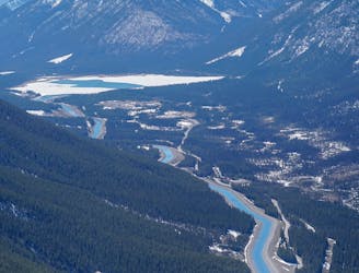
Quick and close to town, but challenges your fitness.
Difficult Hiking
- Distance
- 4.9 km
- Ascent
- 829 m
- Descent
- 829 m
From East End of Rundle to Mount Rundle true summit
Hiking Extreme

This is a popular hiking route which is generally considered to be extreme. It's remote, it features medium exposure and is typically done between June and October. From a low point of 1.7 km to the maximum altitude of 3 km, the route covers 25 km, 2438 vertical metres of ascent and 2438 vertical metres of descent.
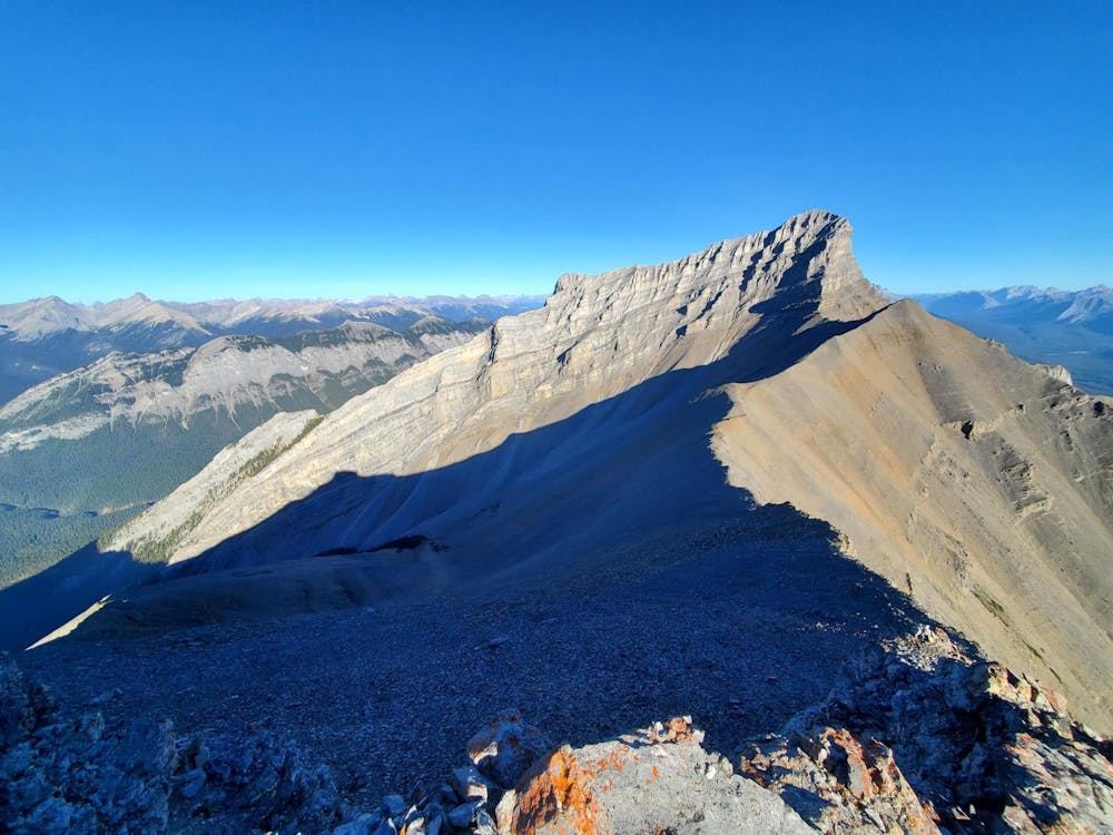
Starting from East End of Rundle and finishing on Mount Rundle true summit (Rundle 3). This route is very challenging and requires good scrambling abilities. Crux of the route is a class3 scramble up to Rundle 3.
Extreme
Scrambling up mountains and along technical trails with moderate fall exposure. Handholds are necessary to navigate the trail in its entirety, although they are not necessary at all times. Some obstacles can be very large and difficult to navigate, and the grades can often be near-vertical. The challenge of the trail and the steepness of the grade results in very strenuous hiking. Hikes of this difficulty blur the lines between "hiking" and "climbing".

The trail contains some obstacles such as outcroppings and rock which could cause injury.
Away from help but easily accessed.
402 m away
Quick and close to town, but challenges your fitness.
Difficult Hiking
7.7 km away
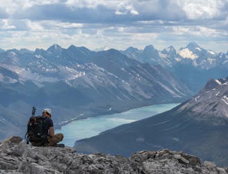
A steep scramble to a mythical summit in the Canadian Rockies
Extreme Hiking
9.8 km away
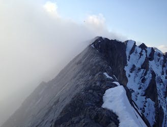
Scramble to the Summit of Lady Mac
Extreme Hiking