4.8 km away
Pinto Lake to Cataract Pass
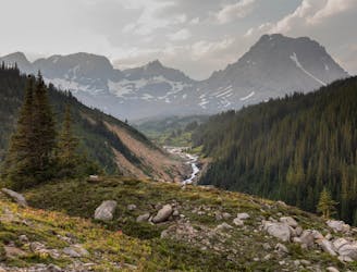
A mainly forested route with plenty of river crossings & deadfall to negotiate before wild camping at Cataract Pass.
Severe Hiking
- Distance
- 17 km
- Ascent
- 609 m
- Descent
- 128 m
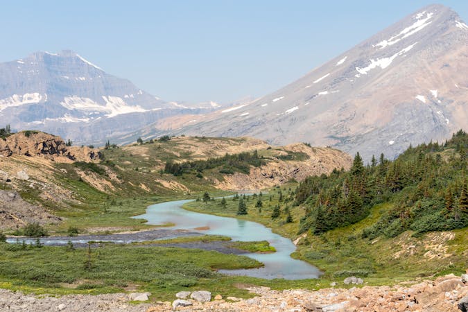
Descent from GDT to Cline River via Waterfalls Creek
Hiking Difficult

Ascend the Great Divide Trail to the Col at 2240m before descending continuously to the sun-alpine forest at 2140m, keeping west of the creek throughout. Turn NE following Waterfalls Creek and the broken trail as it descends the valley passing through mixed meadows, bypassing waterfalls and sometimes through challenging bush. The last 1.8km are easy going to the campsite nestled on the Cline River.
Difficult
Hiking trails where obstacles such as rocks or roots are prevalent. Some obstacles can require care to step over or around. At times, the trail can be worn and eroded. The grade of the trail is generally quite steep, and can often lead to strenuous hiking.

Some trail sections have exposed ledges or steep ascents/descents where falling could cause serious injury.

In the high mountains or remote conditions, all individuals must be completely autonomous in every situation.
4.8 km away
A mainly forested route with plenty of river crossings & deadfall to negotiate before wild camping at Cataract Pass.
Severe Hiking
8 routes · Hiking