87 m away
Whistlers Summit Trail
The tram only takes you so far–this trail goes to the summit of Whistlers Peak
Moderate Hiking
- Distance
- 2.6 km
- Ascent
- 198 m
- Descent
- 198 m
An airy ridgeline with some steep scrambling to a wild summit, reached by extending the hike from Whistlers Peak.
Hiking Severe

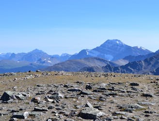
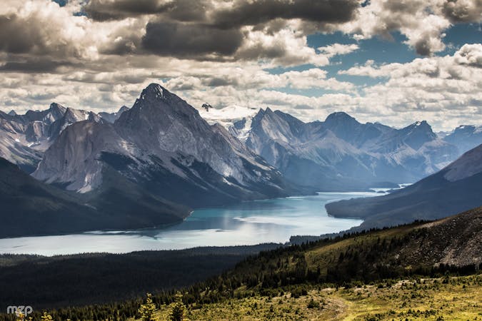
If you want to get the most out of your Jasper SkyTram ticket, consider hiking Indian Ridge from Whistlers Peak. Many people who ride the tram will hike the well-traveled trail to the Whistlers Peak Summit, but very few continue on to Indian Ridge, which is an alpine route requiring some scrambling. The extra work pays handsomely with uncrowded views on a wild summit. It’s not difficult by Rocky Mountain scrambling standards, but it’s not an easy hike either. You should be comfortable with using hands and feet on steep rocks with moderate fall exposure. Because of the difficulty, this route is slow going. Do not go if there’s a significant risk that the weather could turn, or if you might miss the last tram ride down.
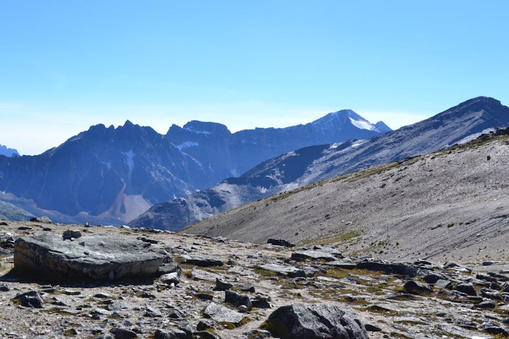
To get to Indian Ridge, continue over the Whistlers Summit and down, on a path that is obvious at first. When it begins to fade, simply follow the ridge crest and pick your way across the talus. Eventually, the ridgeline turns uphill toward the Indian Ridge Summit, and that’s when the hiking becomes scrambling. Be very careful of dislodging rocks that could injure you or someone below you. The scrambling portion is relatively short, and soon you’ll stand on the highpoint of Indian Ridge.
If this all feels easy and you have time to spare, you can continue scrambling along the ridge toward another summit, but the route mapped here turns back at this first summit. You can assess and decide if you want to go farther. When you are ready, simply retrace the ridge the way you came, using extra caution of loose rock when moving downhill.
Sources: https://www.summitpost.org/indian-ridge/154523 https://www.inafarawayland.com/indian-ridge-hike-jasper-national-park/
Severe
Hiking challenging trails where simple scrambling, with the occasional use of the hands, is a distinct possibility. The trails are often filled with all manner of obstacles both small and large, and the hills are very steep. Obstacles and challenges are often unexpected and can be unpredictable.

Some trail sections have exposed ledges or steep ascents/descents where falling could cause serious injury.
Little chance of being seen or helped in case of an accident.
87 m away
The tram only takes you so far–this trail goes to the summit of Whistlers Peak
Moderate Hiking
2 km away
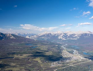
The alternative to riding the SkyTram is hiking up Whistlers Peak.
Difficult Hiking
7.6 km away

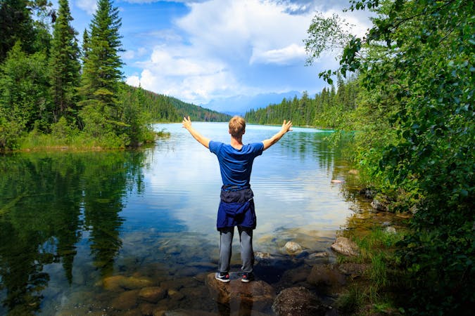
Family-friendly loop with colorful lakes and a chance at spotting wildlife.
Easy Hiking
9 routes · Hiking
6 routes · Hiking
5 routes · Hiking