87 m away
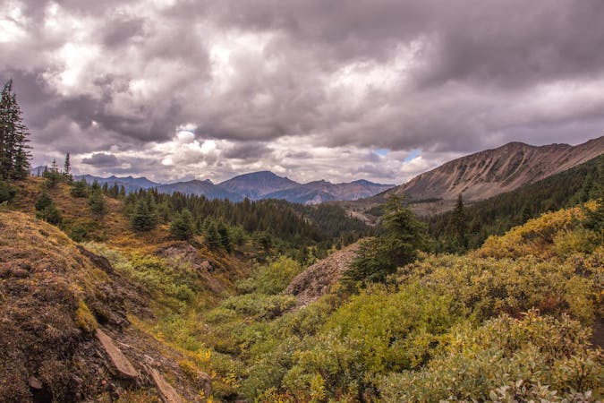
Indian Ridge
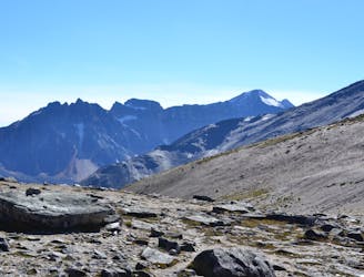
An airy ridgeline with some steep scrambling to a wild summit, reached by extending the hike from Whistlers Peak.
Severe Hiking
- Distance
- 9.6 km
- Ascent
- 755 m
- Descent
- 755 m
The tram only takes you so far–this trail goes to the summit of Whistlers Peak
Hiking Moderate

This is the short hike that reaches Whistlers Peak, beginning from the Summit Restaurant at the top of the tram. If you ride the Jasper SkyTram but don’t hike to the real summit, you are missing out on the full experience! It’s a moderate uphill on a well-defined trail, in a dramatic alpine setting far above treeline, with a horizon of mountains in all directions. Don’t forget to look around for marmots, and listen for their characteristic whistle. Lots of them live among the rock-strewn slopes.
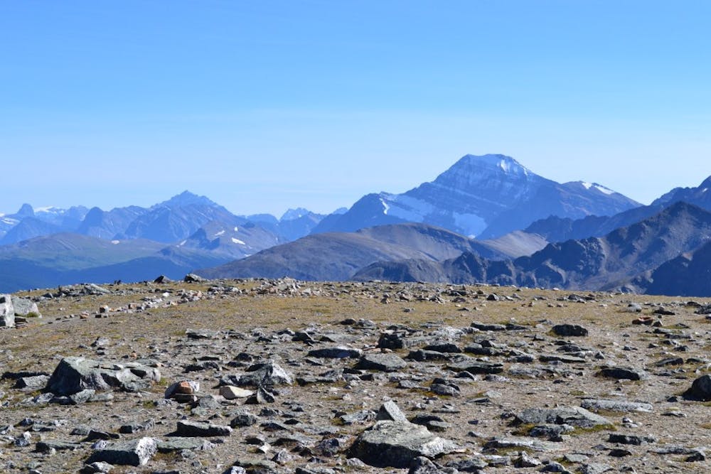
At this elevation, snow lingers into the summer, so you may have to walk through some. This is generally not a problem because so many people track the trail, but in the early season (March-May), you may have to trudge through quite a lot, and snowshoes are recommended. Also, keep in mind that at any time of year, the mountain is subject to extreme weather. Use good judgment and don’t hike if conditions are unsafe.
Source: https://www.pc.gc.ca/en/pn-np/ab/jasper/activ/activ-experience/sentiers-trails/ouest-west
Moderate
Hiking along trails with some uneven terrain and small hills. Small rocks and roots may be present.

The trail contains some obstacles such as outcroppings and rock which could cause injury.
Away from help but easily accessed.
87 m away
An airy ridgeline with some steep scrambling to a wild summit, reached by extending the hike from Whistlers Peak.
Severe Hiking
2 km away
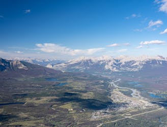
The alternative to riding the SkyTram is hiking up Whistlers Peak.
Difficult Hiking
7.6 km away

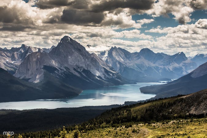
Family-friendly loop with colorful lakes and a chance at spotting wildlife.
Easy Hiking

9 routes · Hiking
6 routes · Hiking
5 routes · Hiking