2 km away
Indian Ridge
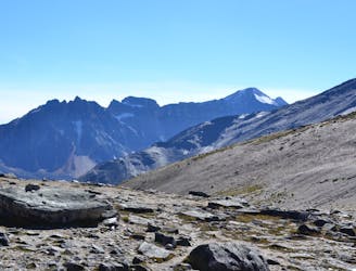
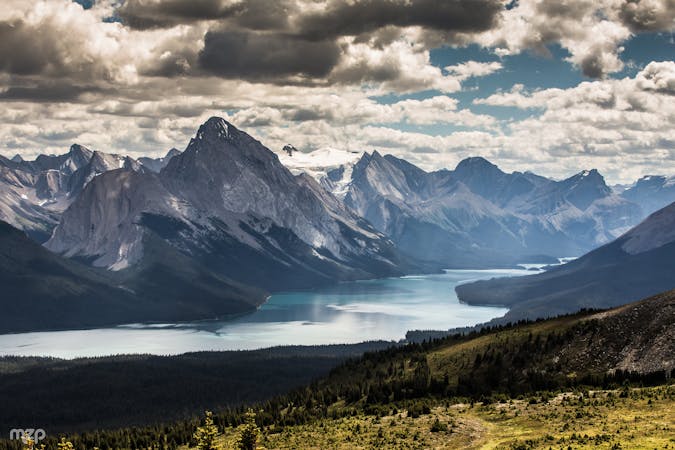
An airy ridgeline with some steep scrambling to a wild summit, reached by extending the hike from Whistlers Peak.
Severe Hiking
- Distance
- 9.6 km
- Ascent
- 755 m
- Descent
- 755 m
The alternative to riding the SkyTram is hiking up Whistlers Peak.
Hiking Difficult

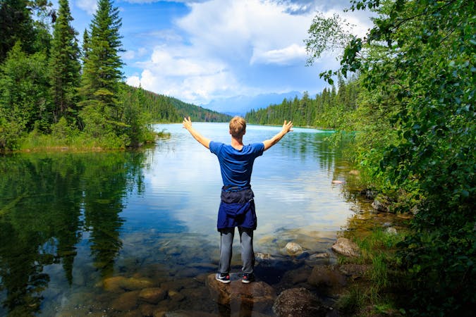
The Jasper SkyTram takes paying passengers to the Summit Restaurant on Whistlers Peak, but the free alternative is hiking the trail from the bottom. The benefits are a great workout and truly earning your views at the top, and you can still enjoy a meal or drink at the restaurant once you reach it.
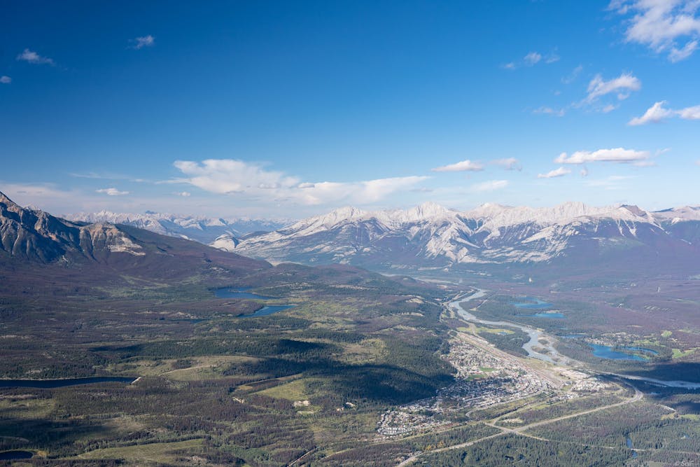
The hike begins from a trailhead along the road that leads to the tram. The trail goes immediately uphill, maintaining a fairly steady climb with frequent switchbacks. It is mostly in the forest with a good amount of shade, but occasionally crosses rocky, open areas. The middle third of the trail is less steep, as it traverses the mountainside and passes beneath the tramline. It steepens again, though, to climb through an alpine basin where the trees thin out and views become quite spectacular. A final stretch of very steep switchbacks break above timberline and make the final push to the ridge, with the tram terminal and restaurant.
Once there, you’ll likely share the view with many other people. Despite the crowds, it’s definitely worth the extra distance to hike to the Whistlers Peak Summit, for a 360-degree panorama of Jasper National Park. To return, you can ride the tram instead of hiking down, but may still have to purchase the ticket.
Source: https://www.pc.gc.ca/en/pn-np/ab/jasper/activ/activ-experience/sentiers-trails/ouest-west
Difficult
Hiking trails where obstacles such as rocks or roots are prevalent. Some obstacles can require care to step over or around. At times, the trail can be worn and eroded. The grade of the trail is generally quite steep, and can often lead to strenuous hiking.

The trail contains some obstacles such as outcroppings and rock which could cause injury.
Away from help but easily accessed.
2 km away
An airy ridgeline with some steep scrambling to a wild summit, reached by extending the hike from Whistlers Peak.
Severe Hiking
2 km away
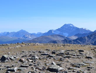
The tram only takes you so far–this trail goes to the summit of Whistlers Peak
Moderate Hiking
7.5 km away

Family-friendly loop with colorful lakes and a chance at spotting wildlife.
Easy Hiking
8.5 km away
Scenic and convenient loop with a view over Jasper.
Easy Hiking
9 routes · Hiking
6 routes · Hiking
5 routes · Hiking