4.9 km away
Pinto Lake to Cataract Pass
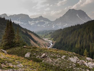
A mainly forested route with plenty of river crossings & deadfall to negotiate before wild camping at Cataract Pass.
Severe Hiking
- Distance
- 17 km
- Ascent
- 609 m
- Descent
- 128 m
high start to Mount Harlan Summit
Hiking Severe

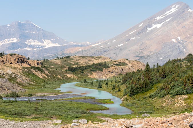
This is a popular hiking route which is generally considered to be severe. It's extremely remote, it features high exposure and is typically done between July and September. From a low point of 2.4 km to the maximum altitude of 3.1 km, the route covers 4.3 km, 767 vertical metres of ascent and 97 vertical metres of descent.
Ridge route to the summit, a challenging route find on the downclimb to Col. Bypassed with a long divert to the South
Severe
Hiking challenging trails where simple scrambling, with the occasional use of the hands, is a distinct possibility. The trails are often filled with all manner of obstacles both small and large, and the hills are very steep. Obstacles and challenges are often unexpected and can be unpredictable.

Some trail sections have exposed ledges or steep ascents/descents where falling could cause serious injury.

In the high mountains or remote conditions, all individuals must be completely autonomous in every situation.
4.9 km away
A mainly forested route with plenty of river crossings & deadfall to negotiate before wild camping at Cataract Pass.
Severe Hiking
8 routes · Hiking