Mount Olive (3130 m)
A great glacier tour, topped with a fantastic ridge
Moderate Ski Touring
- Distance
- 22 km
- Ascent
- 1.3 km
- Descent
- 1.3 km
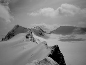
A spectacular peak on the Wapta Icefields
Ski Touring Difficult

This spectacular peak is amongst the most popular on the Wapta. It can be done in a long day from Bow Lake, or be combined with a stay at the Bow Hut (2330 m).
A) TO BOW HUT
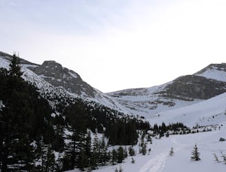
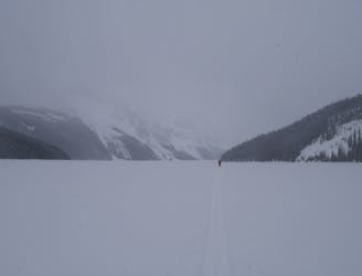
The tour starts with crossing Bow Lake, provided it's frozen solid - if it's not then follow a trail around the north shore. Continue across a wide gravel field until you see a canyon ahead of you. Here the trail branches off left, avoiding the canyon and leading through trees. Soon the terrain steepens and you will see a large avalanche path above you. Stay as far right as possible and do not stop here! Head up a hill to the right, and descend a bit on the other side. Following the creek, you soon enter the second canyon.
There are steep walls on either side, and the canyon is a terrain trap. Travel through it swiftly! The canyon becomes more narrow as you travel on, and soon the route leads up looker's left, traversing on the banks above the canyon.
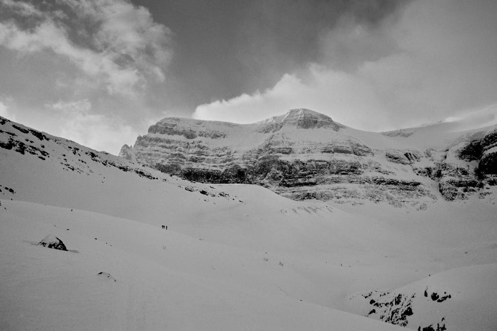
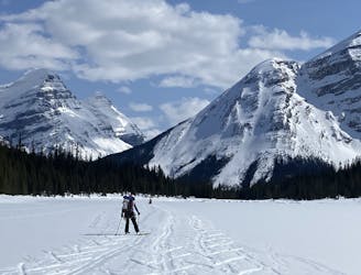
You then reach a wide cirque, which is crossed on its left (east) side, contouring to the base of the final slope to Bow Hut. There is substantial overhard hazard from the slopes and ice cliffs below Vulture peak. Again, move quickly through this section. The final slope to Bow Hot is also avalanche-prone - pick a good line here. The ascent normally begins looker's left and then traverses to the right. Bow Hut is a good place to take a rest but if you want to keep going, pass it on the left.
B) FROM BOW HUT TO THE SUMMIT
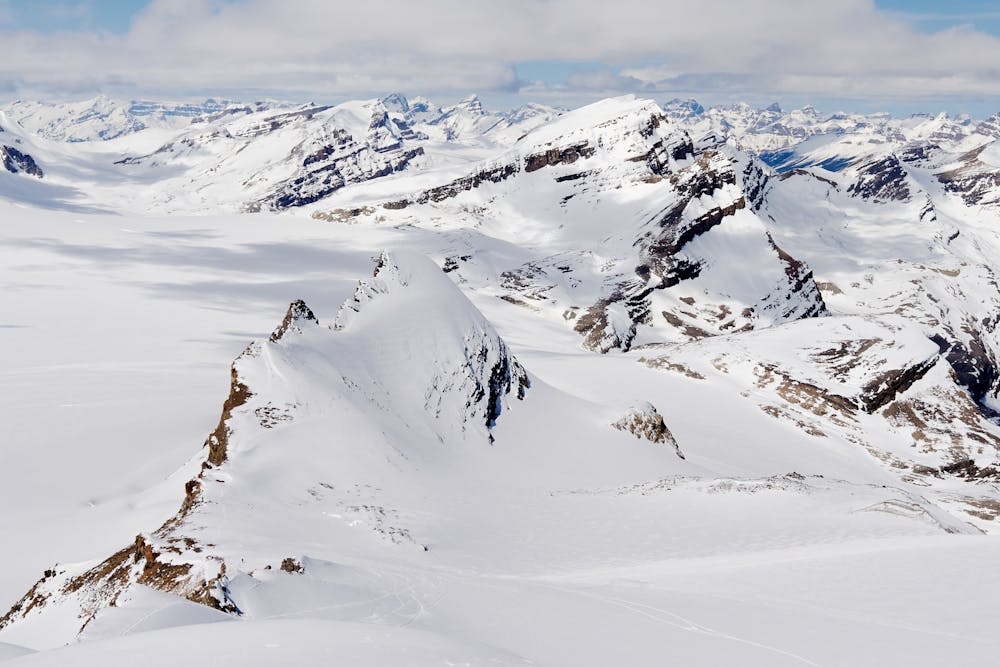
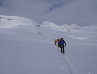
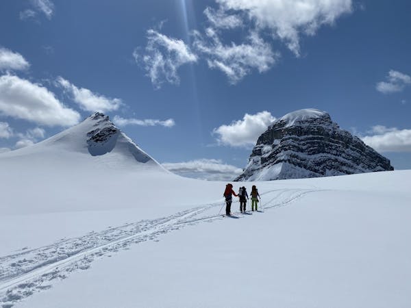
At around 2450 - 2500 m elevation you enter glaciated terrain and it is recommended to rope up. Head onto the glacier, initially heading west, then turning south. To reach the base of the south ridge of St Nicholas Peak, you have two options:
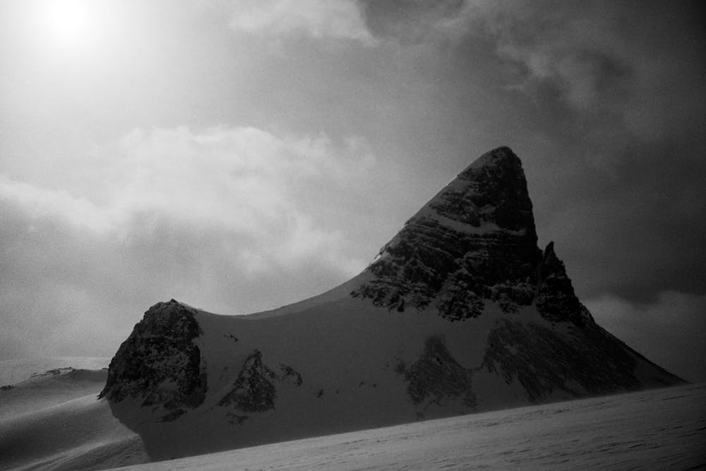
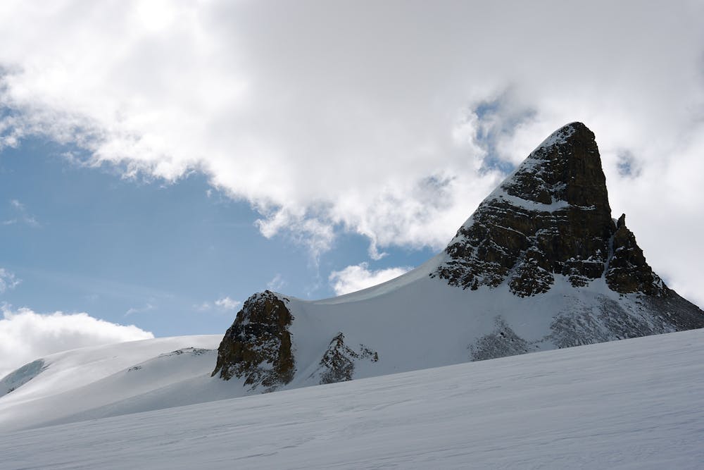
a) ascend underneath its east slope (shown here) or
b) cross the glacier beneath the peak's west face. This is longer, but easier and more scenic. Check the Mt. Olive route description for more details on this.
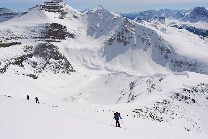
For a), turn left (SE) at around 2640 m. Work your way up relatively gentle terrain. Bear in mind the overhead hazard from the east face of St Nicholas Peak. At around 2900 m you reach the col between St. Nicholas Peak and Mt. Olive.
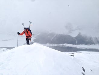
Most folks will want to leave their skis at the col. The ridge quickly turns narrow and exposed, and involves some scrambling. On the left (west) side is a big cliff, on the right (east) a steep snow face. A short but exposed scramble near the summit is the crux - some may want the protection of a rope here.
C) DESCENT:
Most scramble back down the ridge. There is the option to ski the steep west aspect of the peak in very stable conditions. This is shown as descent route here. In anything than less ideal conditions, ski back the same way you came up!
As you ski back, there is a steep short-cut back towards Bow Hut, branching of to the right at ca. 2640 m (shown here). This slope is avalanche-prone - again, ski this only in stable conditions!
From Bow Hut, ski back the way you came. For your timing, keep in the mind that the canyon is particularly prone to avalanches on warm afternoons.
Difficult
Serious gradient of 30-38 degrees where a real risk of slipping exists.

In case of a fall, death is highly likely.
Little chance of being seen or helped in case of an accident.
A great glacier tour, topped with a fantastic ridge
Moderate Ski Touring
2 km away
Quick Circuit that often has great snow
Difficult Ski Touring
2.1 km away
A fine ski peak with lots of variety and good skiing
Moderate Ski Touring
5.1 km away
Popular Ski Tour Venue
Easy Ski Touring
5.8 km away
A long, wild and adventurous journey to a spectacularly positioned hut
Difficult Ski Touring
7.7 km away
A tough but rewarding start to the trip across the Wapta
Difficult Ski Touring
9.7 km away
A long and rewarding trip which can be split with a night at the Scott Duncan hut.
Difficult Ski Touring
3 routes · Ski Touring
4 routes · Ski Touring