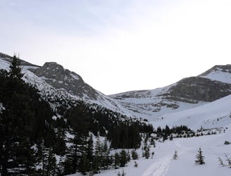
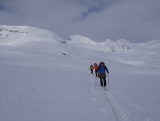
45 m away
Peyto Lake to Peyto Hut
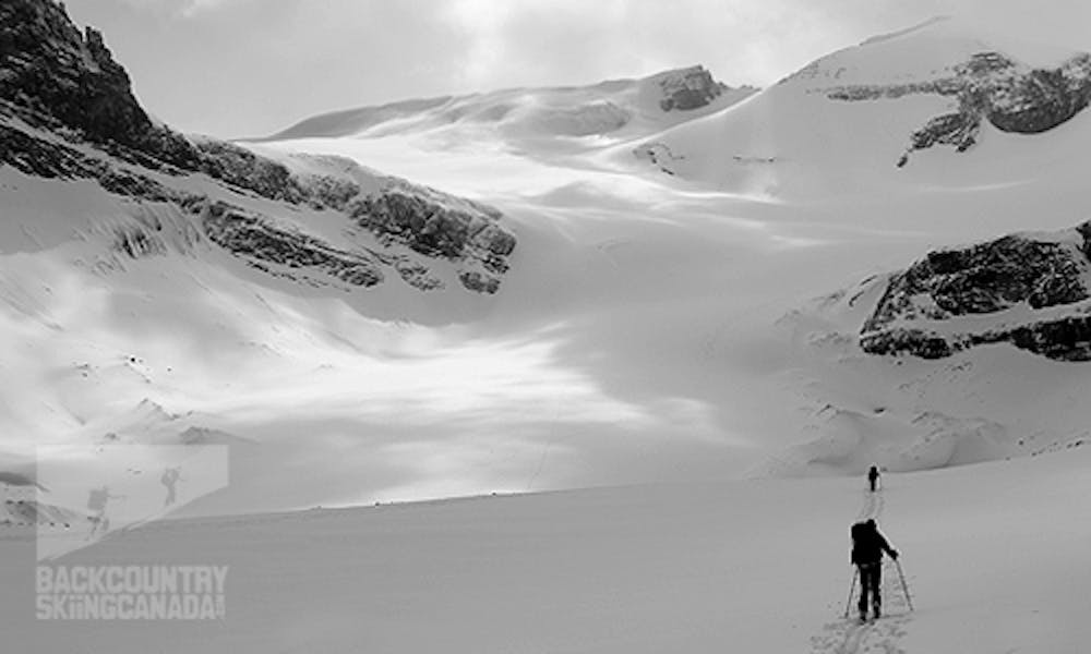
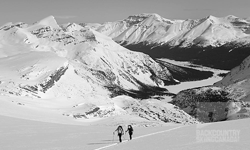
A tough but rewarding start to the trip across the Wapta
Difficult Ski Touring
- Distance
- 11 km
- Ascent
- 848 m
- Descent
- 274 m
Hwy 93 to Peyto hut
Ski Touring Difficult

A classic Canadian ski traverse located in the heart of the Rockies just outside Lake Louise. There are four huts along the way to make the journey more enjoyable — the Peyto Hut, the Bow Hut, the Balfour Hut and the Scott Duncan Hut.

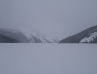
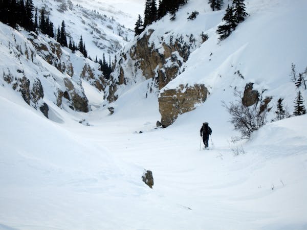
ACCESS: The trailhead is on the west side of Highway 93 and is located at the parking lot and tourist viewpoint at Peyto Lake. The turn-off for the parking lot is located five km north of the turn-off for the Num-Ti-Jah Lodge. Alternatively, there is a plowed parking area on the west side of Highway 93, down the hill and 2.5 km past the bow summit.
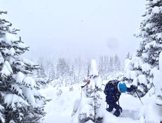
The route starts from the parking lot at the Bow summit on the west side of Highway 93. It descends through thick steep trees to Peyto Lake.
Get the full route description at www.backcountryskiingcanada.com
Difficult
Serious gradient of 30-38 degrees where a real risk of slipping exists.

As well as the slope itself, there are some obstacles (such as rock outcrops) which could aggravate injury.
Away from help but easily accessed.
45 m away
A tough but rewarding start to the trip across the Wapta
Difficult Ski Touring
2.7 km away
Popular Ski Tour Venue
Easy Ski Touring
5.6 km away
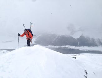
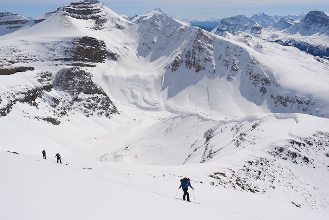
A fine ski peak with lots of variety and good skiing
Moderate Ski Touring
5.8 km away
Quick Circuit that often has great snow
Difficult Ski Touring
7.7 km away
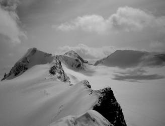
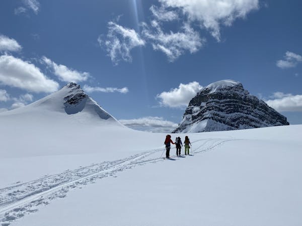
A great glacier tour, topped with a fantastic ridge
Moderate Ski Touring
7.7 km away
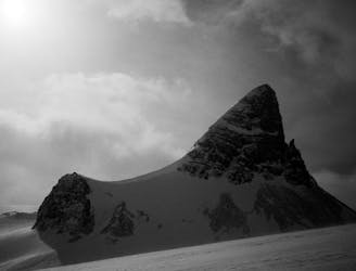
A spectacular peak on the Wapta Icefields
Difficult Ski Touring
8.7 km away
A long, wild and adventurous journey to a spectacularly positioned hut
Difficult Ski Touring
5 routes · Ski Touring
3 routes · Ski Touring
4 routes · Ski Touring