3.3 km away
Mt Hector North Face
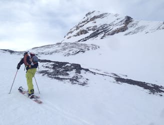
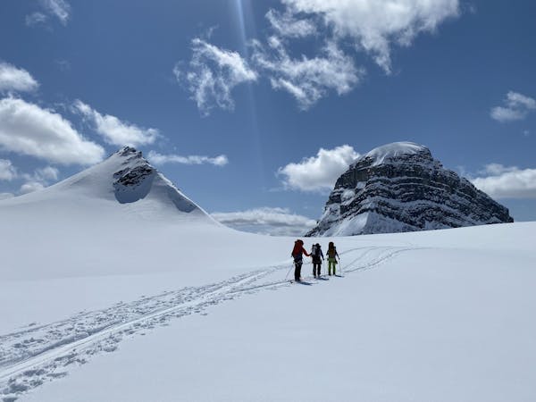
Spring Skiing on the iconic Ski Mountaineering line.
Difficult Ski Touring
- Distance
- 14 km
- Ascent
- 1.5 km
- Descent
- 1.5 km
Low angle slide paths with a peek at Grand Daddy Couloir.
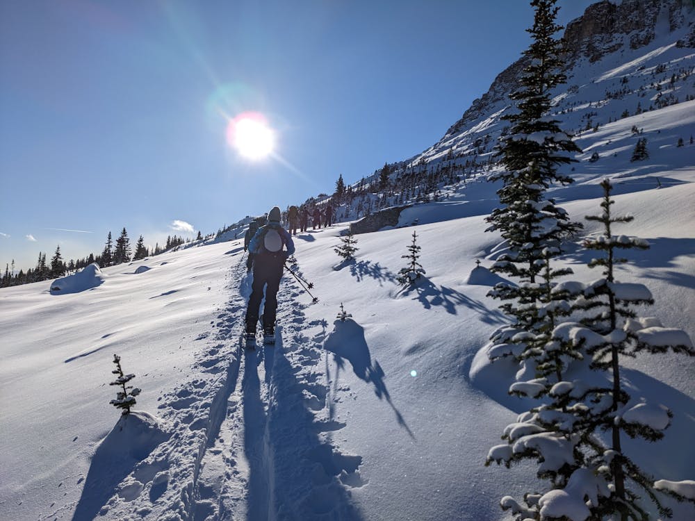
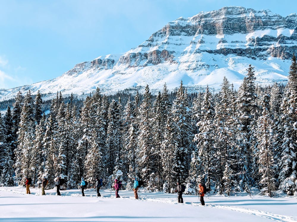
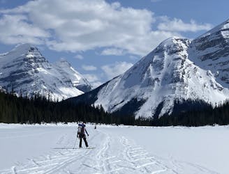
Ski Touring Easy

This is a popular ski touring route which is generally considered to be easy. It's remote, it features low exposure (e1) and is typically done between December and May. From a low point of 1.8 km to the maximum altitude of 2.2 km, the route covers 8.6 km, 702 vertical metres of ascent and 706 vertical metres of descent. You'll need skins to complete it safely.
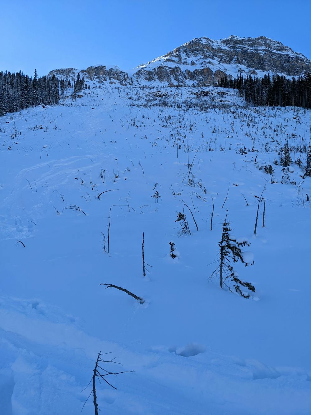
Low angle slide paths with a peek at Grand Daddy Couloir.
Easy
Wide gentle slopes at around 20 degrees or less.

Exposure is limited to that of the slope itself. Getting hurt is still likely if the slope is steep and/or the snow is hard.

Away from help but easily accessed.
3.3 km away
Spring Skiing on the iconic Ski Mountaineering line.
Difficult Ski Touring
10 km away
A long and rewarding trip which can be split with a night at the Scott Duncan hut.
Difficult Ski Touring
4 routes · Ski Touring