475 m away
Viewpoint Cabin Loop
Visit some wonderful little cabins nestled in peaceful forests
Easy Hiking
- Distance
- 13 km
- Ascent
- 380 m
- Descent
- 381 m
An easy and scenic stroll to some lovely little cabins
Hiking Moderate

The easier of the 2 cabin loops from Strawberry Pass (the other loop, north of the highway takes you into much wilder and more remote terrain but it still technically easy - https://fatmap.com/routeid/3319588/viewpoint-cabin-loop/@49.2143286,-117.9377537,9862.9226165,-90,0,1214.2929213,satellite,summer), this is a great way of sampling some Kootenay culture and getting a few hours in the woods.
The hike begins at the Seven Summits parking lot which, on any sunny summer day, will likely be pretty full. The legendary Seven Summits ride (https://fatmap.com/routeid/3047083/the-seven-summits-imba-epic/@49.1284315,-117.886587,9893.2427306,-90,0,1697.2856821,satellite,summer) starts from this parking lot and this hike shares the Seven Summits trail for the first few kilometres. Be aware of bikes coming up the trail and be prepared to step aside and not break their rhythms - those bikers have a long day ahead of them!
Once on the trail the route is very obvious and is well signposted. Before even setting off you'll find a useful signpost at the parking lot, and this user-friendly feel continues for the rest of the trip.
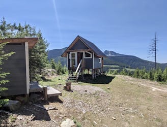
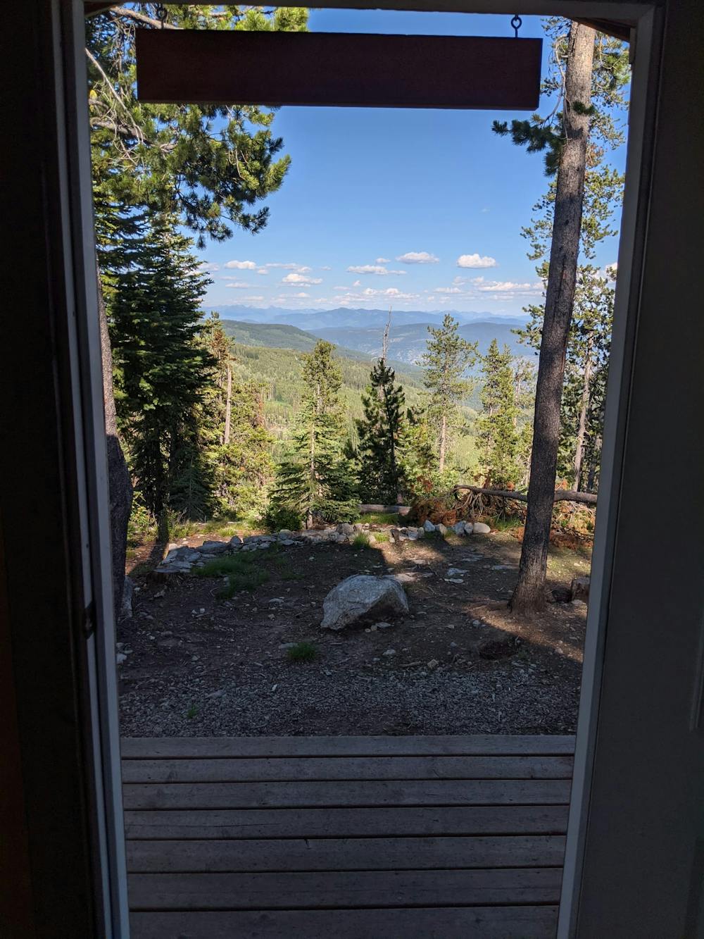
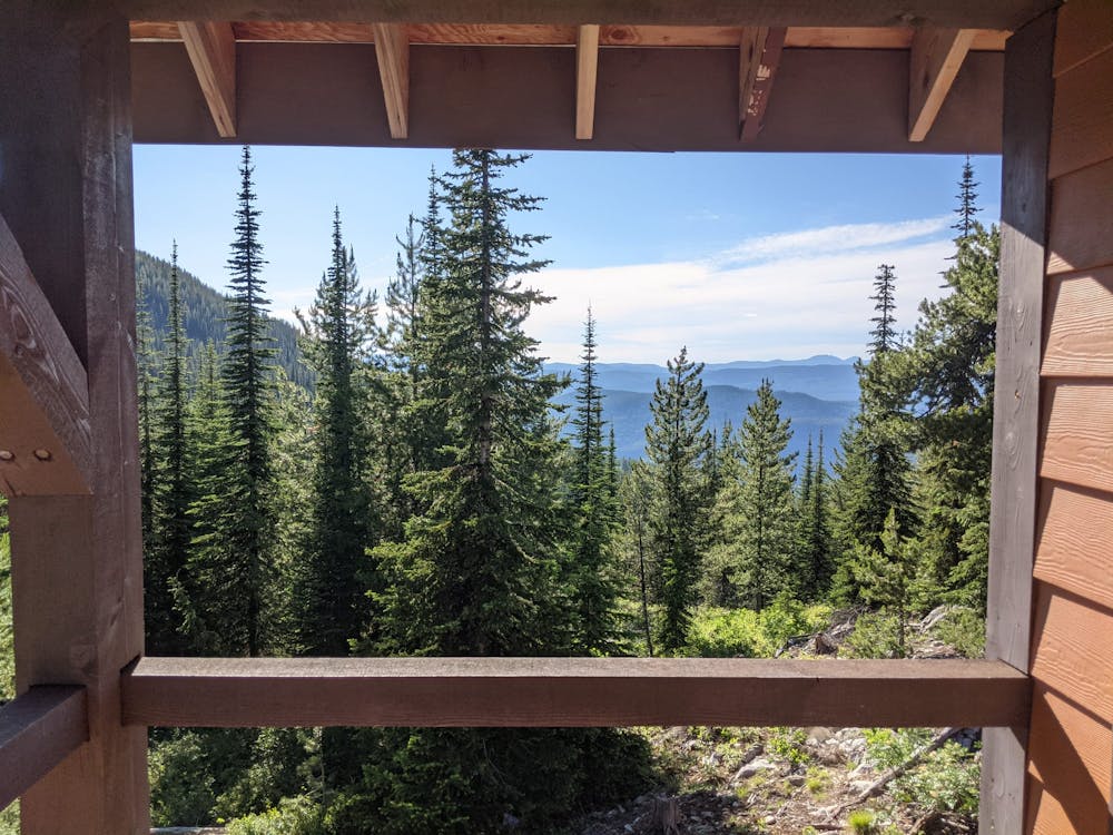
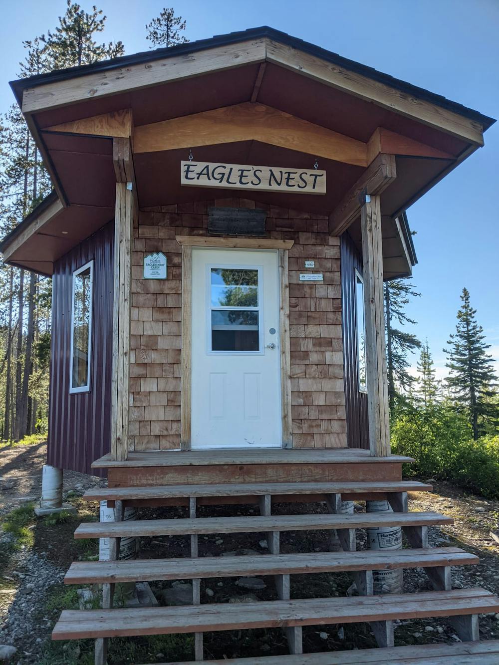
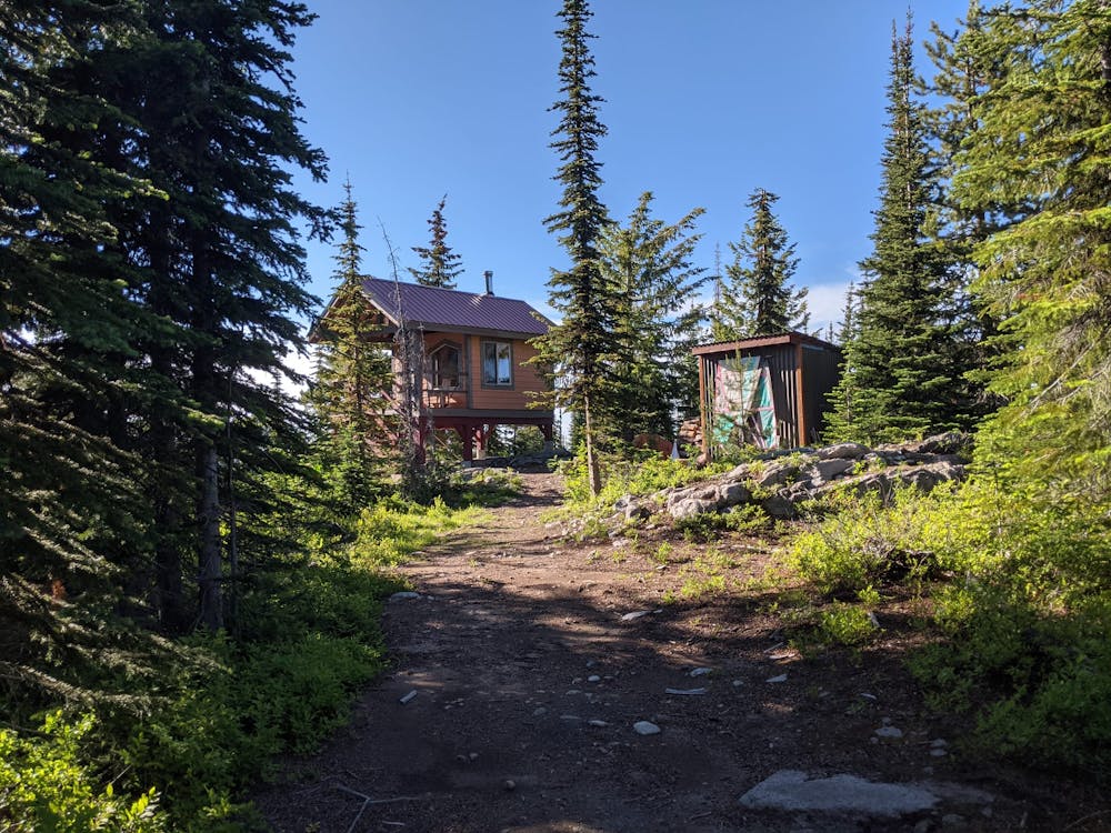
The cabins en route along this trail are wonderful, each with their own character and a different view. The finest of all is Eagle's Nest, and making the short detour to it is highly recommended for the commanding vista it provides across the Rossland range. Eagle's Nest is actually visible from the highway when approaching Strawberry Pass from Rossland, but only if you know where to look! Once you've sussed it out you'll be able to spot it but it's tough to pick it out if you haven't been there before.
The other 2 cabins on this trip are charming too, but they are only for day use so please don't camp in them, and leave no trace of your visit.
Moderate
Hiking along trails with some uneven terrain and small hills. Small rocks and roots may be present.

The path is on completely flat land and potential injury is limited to falling over.

Little chance of being seen or helped in case of an accident.
475 m away
Visit some wonderful little cabins nestled in peaceful forests
Easy Hiking
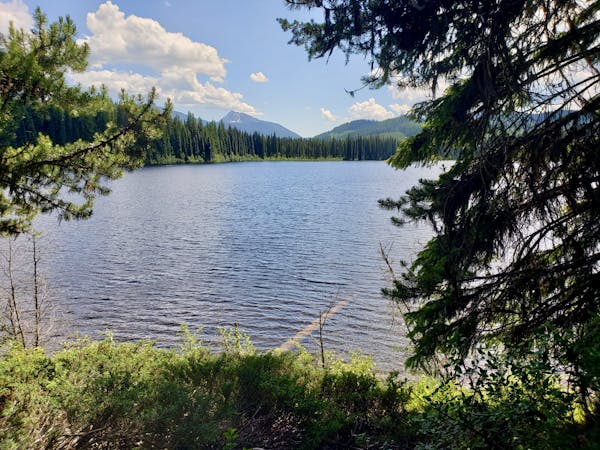
7 km away
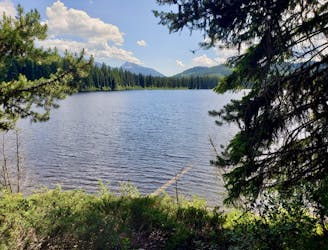
An easy stroll around a lovely lake
Moderate Hiking
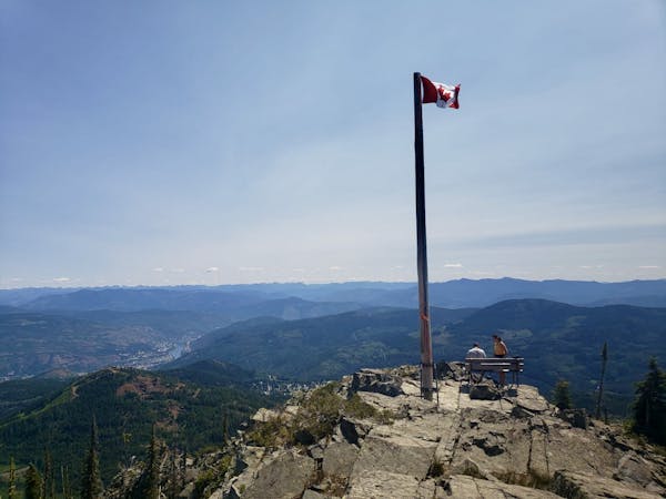
7.1 km away

A wonderful and long trip to one of the most famous summits in the Kootenays
Difficult Hiking
5 routes · Hiking
5 routes · Hiking