5.5 km away
Red Top on Red Mountain
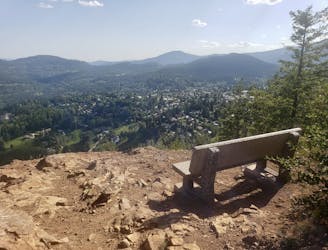
Hike a Rossland landmark and enjoy some epic views
Difficult Hiking
- Distance
- 8.4 km
- Ascent
- 433 m
- Descent
- 432 m
A wonderful and long trip to one of the most famous summits in the Kootenays
Hiking Difficult

Old Glory is the highest mountain in the Rossland range, and climbing it is a truly classic Kootenay hike. It's a long trip no matter how you cut it, but the alpine ambience and huge views make the effort more than worthwhile. Old Glory can be climbed by doing either the Old Glory or Plewman Trail as out-and-backs, but combining the 2 trails as shown here gives you the best of both worlds.
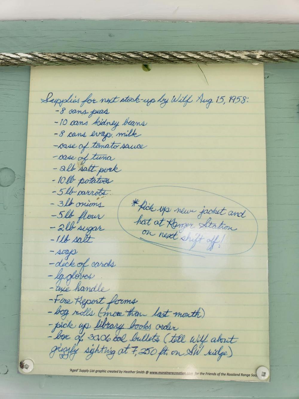

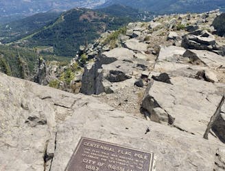
Park up at the Old Glory Trailhead on Highway 3B and take 5 minutes to read the fascinating information boards which explain some of the history of the fire lookout which sits on the peak's summit, and the even bigger lookout which preceded it but burned down in 1968.
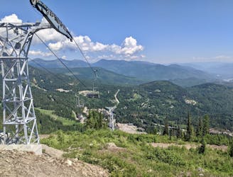
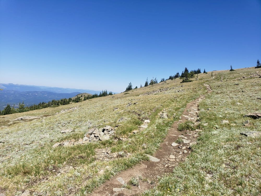
Start hiking up the only path from the parking lot, which soon splits. Take the left hand trail (clearly signposted as Old Glory Trail) and follow it as it climbs up through dense forest to where it meets the legendary Seven Summits bike trail (https://fatmap.com/routeid/3047083/TheSevenSummits-IMBAEpic/@49.1354876,-117.9056252,20514.9486934,-90,0,1843.6772736,satellite,summer). Turn right and climb up the trail, keeping a close eye out for any bikers who might be coming down. As the trail climbs up towards Old Glory the peak becomes increasingly visible, and it looks a long way away! The trail is pretty open and enjoys some huge vistas across the surrounding Kootenay peaks.
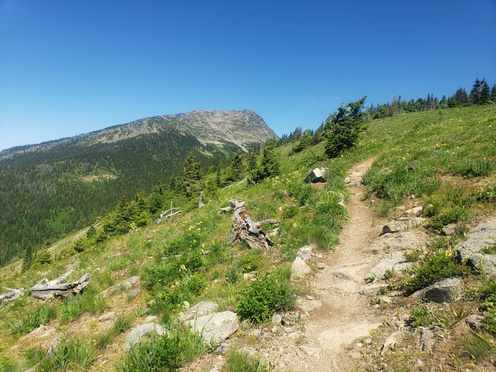
Keep climbing up and then branch off the Seven Summits and descend briefly before beginning the ascending traverse to Old Glory's south ridge. Follow this as it become increasingly open and provides ever-improving views across the mountains of southern BC.
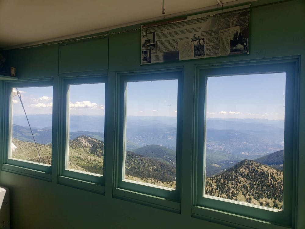
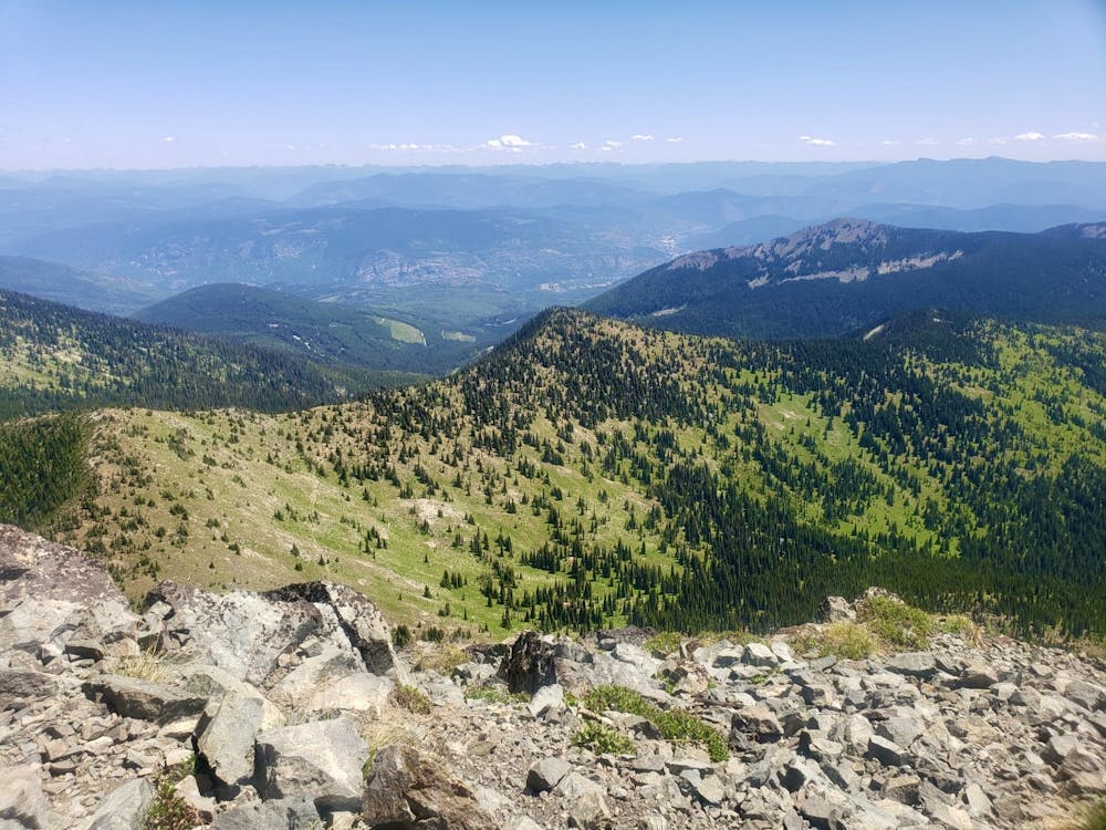
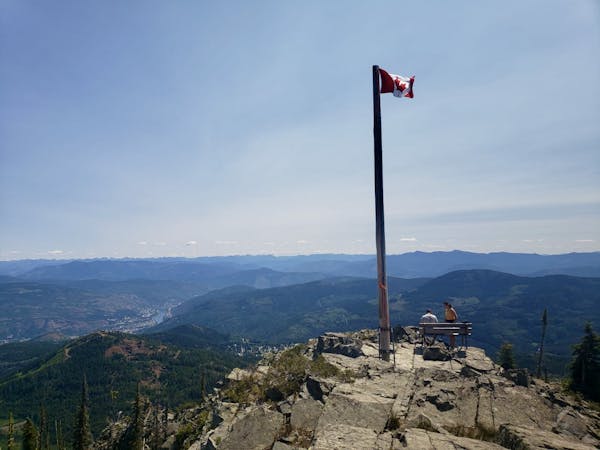
The trail eventually leads to the summit lookout and it's a stunning spot with some wonderful historical artefacts. Take some time to look around the lookout, and study the now-derelict older one, as well as taking in the magnificent views, before descending back down the south ridge and all the way to the Seven Summits Trail.
Turn left upon hitting the Seven Summits and, 100 metres later, turn right on the Plewman Trail. Follow this down through dense and peaceful forests back to the parking lot.
Difficult
Hiking trails where obstacles such as rocks or roots are prevalent. Some obstacles can require care to step over or around. At times, the trail can be worn and eroded. The grade of the trail is generally quite steep, and can often lead to strenuous hiking.

The trail contains some obstacles such as outcroppings and rock which could cause injury.

Little chance of being seen or helped in case of an accident.
5.5 km away
Hike a Rossland landmark and enjoy some epic views
Difficult Hiking
7.1 km away
An easy and scenic stroll to some lovely little cabins
Moderate Hiking
7.5 km away
Visit some wonderful little cabins nestled in peaceful forests
Easy Hiking
7.5 km away
Summit one of Rossland's key landmarks via an exciting hike/scramble
Severe Hiking
7.8 km away
A quick hit from Rossland to a gorgeous little summit
Moderate Hiking
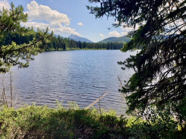
7.8 km away
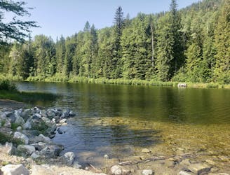
A short, peaceful stroll around a lovely little lake
Moderate Hiking
5 routes · Hiking
5 routes · Hiking