2.4 km away
Centennial Trail and Moe's
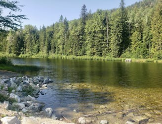
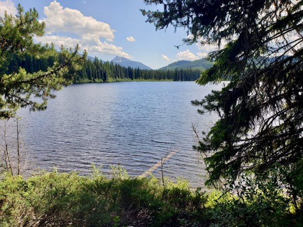
A short, peaceful stroll around a lovely little lake
Moderate Hiking
- Distance
- 2.9 km
- Ascent
- 53 m
- Descent
- 53 m
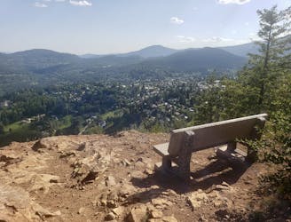
Summit one of Rossland's key landmarks via an exciting hike/scramble
Hiking Severe

This is a superb summit hike on a challenging route, and it's ideal for those who want some easy scrambling but nothing too serious. The route up presents some difficulties, both technically and navigationally, but none that will stress experienced hikers.
The trail up Mount Roberts begins at a small parking area and the start is clearly signposted at the edge of the forest. There isn't space for more than half a dozen cars at the parking area, so please park respectfully and, if necessary, park a little further away and walk a few extra metres to access the trail.
The trail is initially clear and well signposted but it becomes increasingly vague as you begin to leave the dense forests low down, and a good nose for route finding is required for some of the upper sections. Generally you're looking for the line of least resistance, signs of wear, or just the logical route through the terrain.
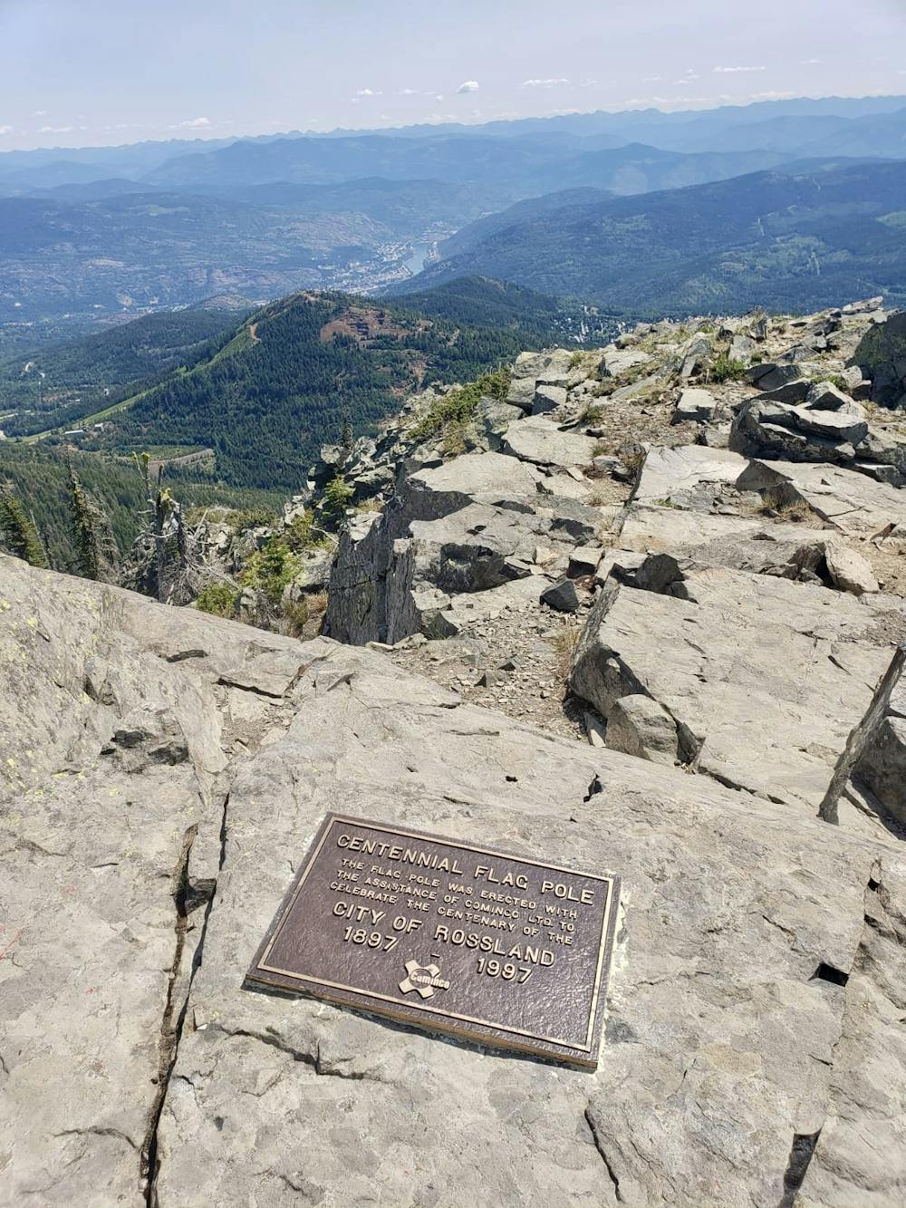
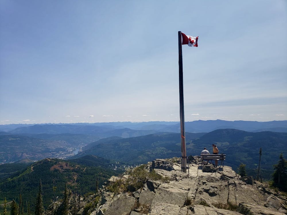
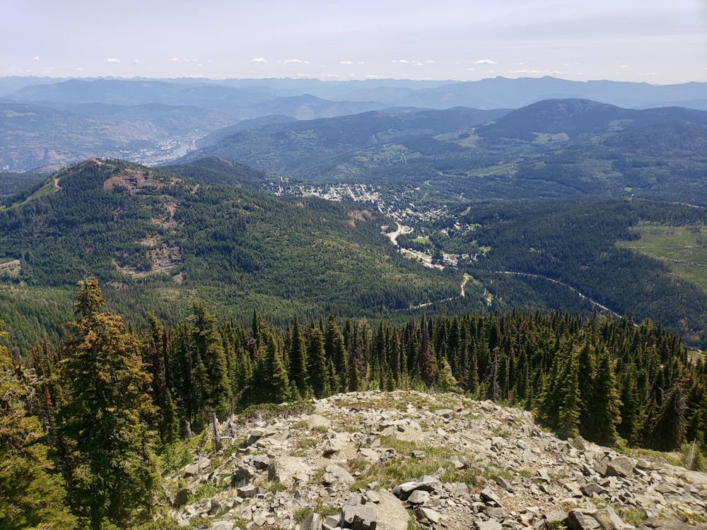
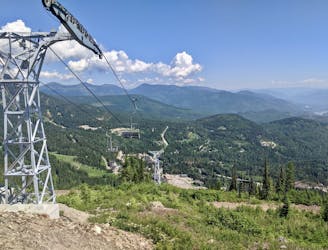
Once on the upper reaches of the mountain the views really begin to open up and you'll enjoy some fabulous panoramas across the Rossland range, and down to the town itself. The huge flagpole on the summit of Mount Roberts only adds to the magnificence of the vista.
From the top, virtually everyone descends via the same route, but it is possible to bushwhack your way into Red Mountain Resort, and on from there to the 7 Summits trail. This would make logistics more challenging as the route then becomes linear instead of circular, but it's an option for the adventurous hikers out there!
Severe
Hiking challenging trails where simple scrambling, with the occasional use of the hands, is a distinct possibility. The trails are often filled with all manner of obstacles both small and large, and the hills are very steep. Obstacles and challenges are often unexpected and can be unpredictable.

Some trail sections have exposed ledges or steep ascents/descents where falling could cause serious injury.
Little chance of being seen or helped in case of an accident.
2.4 km away
A short, peaceful stroll around a lovely little lake
Moderate Hiking
2.4 km away
A quick hit from Rossland to a gorgeous little summit
Moderate Hiking
2.8 km away
Hike a Rossland landmark and enjoy some epic views
Difficult Hiking
7.1 km away
Wildflowers and wild views - this is one of Rossland's most classic hikes
Moderate Hiking
7.5 km away

A wonderful and long trip to one of the most famous summits in the Kootenays
Difficult Hiking
5 routes · Hiking

5 routes · Hiking