2.4 km away
Kootenay Columbia Trail
A quick hit from Rossland to a gorgeous little summit
Moderate Hiking
- Distance
- 6.4 km
- Ascent
- 186 m
- Descent
- 258 m
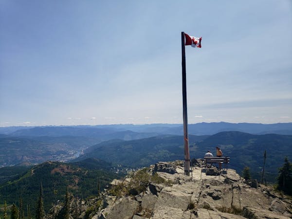
Hike a Rossland landmark and enjoy some epic views
Hiking Difficult

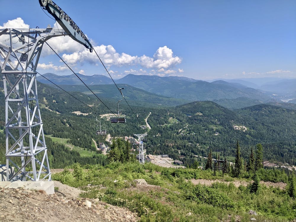
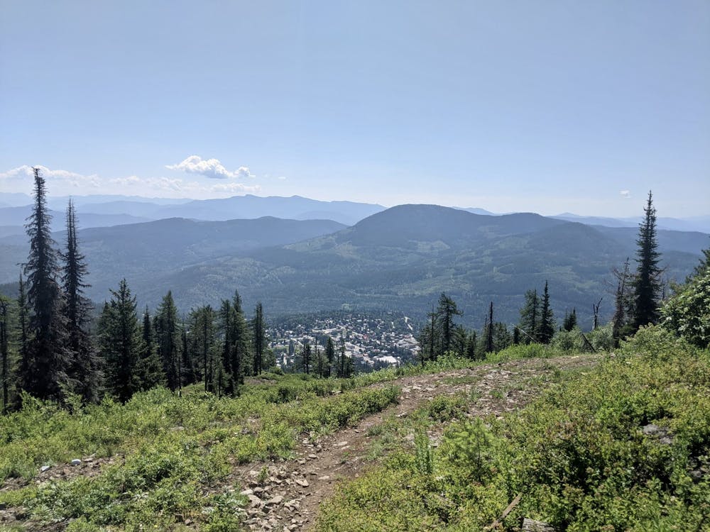
Red Mountain is Rossland's local ski hill and a popular winter destination, but it's also a great spot at which to enjoy a hike or bike. Red Mountain itself (which this hike ascends) isn't the highest peak in the area, or even the most prominent, but it's the one after which they named the ski hill so that gives it some kudos!
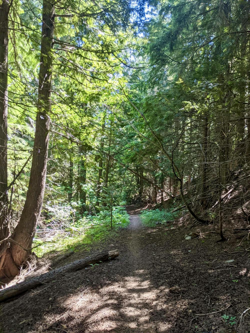
This trail (which can be hiked or biked, so watch out for other trail users) is a peaceful one, with most of it passing through quiet, dense forest. The forest provides plenty of shade, so this is a good option for a really hot day, doubly so because the grade is consistently moderate, with only brief steep sections.
The Red Top trail is well signposted, and remarkably quiet too, so there's very little to worry about beyond the local bear population! In all seriousness, there is a pretty healthy population of both black and brown bears above Rossland, so carrying a bear spray and making your presence known on the way up - either by chatting to your hiking partner or to yourself - is a good idea.
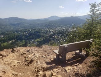
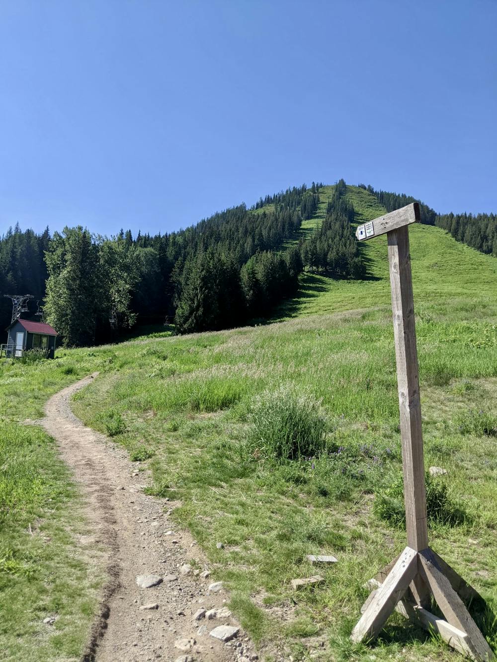
Once you emerge onto the upper reaches of the mountain the forest begins to thin out and the views across Rossland and its surrounding peaks begin to reveal themselves. The view down to Trail and the mighty Columbia river is particularly impressive, and Red Mountain is also a good place from which to plan future adventures on the nearby Seven Summits.
Having taken it all in, head back down the same way.
Difficult
Hiking trails where obstacles such as rocks or roots are prevalent. Some obstacles can require care to step over or around. At times, the trail can be worn and eroded. The grade of the trail is generally quite steep, and can often lead to strenuous hiking.

The trail contains some obstacles such as outcroppings and rock which could cause injury.

Little chance of being seen or helped in case of an accident.
2.4 km away
A quick hit from Rossland to a gorgeous little summit
Moderate Hiking
2.4 km away
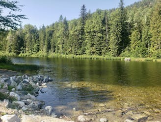
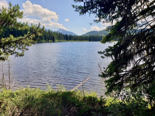
A short, peaceful stroll around a lovely little lake
Moderate Hiking
2.8 km away
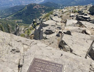
Summit one of Rossland's key landmarks via an exciting hike/scramble
Severe Hiking
5.5 km away

A wonderful and long trip to one of the most famous summits in the Kootenays
Difficult Hiking
9.8 km away
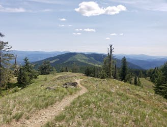
Wildflowers and wild views - this is one of Rossland's most classic hikes
Moderate Hiking
5 routes · Hiking
5 routes · Hiking