7.1 km away
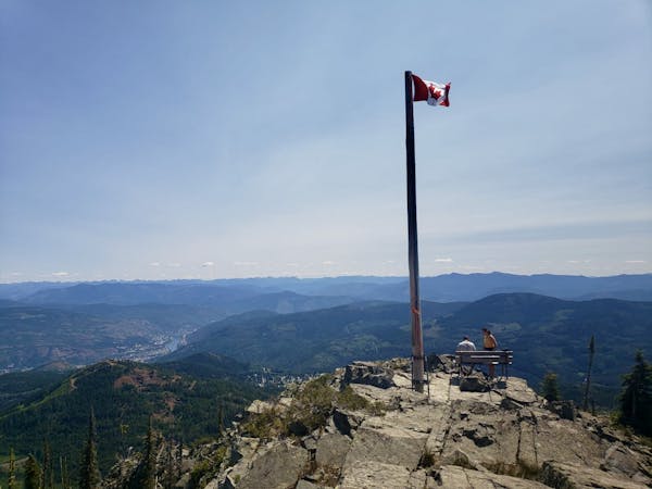
Mount Roberts
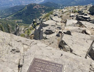
Summit one of Rossland's key landmarks via an exciting hike/scramble
Severe Hiking
- Distance
- 6.8 km
- Ascent
- 862 m
- Descent
- 862 m
Wildflowers and wild views - this is one of Rossland's most classic hikes
Hiking Moderate

Accessed from the Seven Summits southern parking lot, this is a wonderful trip along one of the most famous sections of that legendary trail. Being on the Seven Summits trail, this is obviously a shared-use route so be aware of bikers coming down, particularly in the afternoon when most riders will be on the latter part of their trip from the northern parking lot.
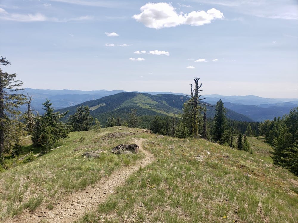
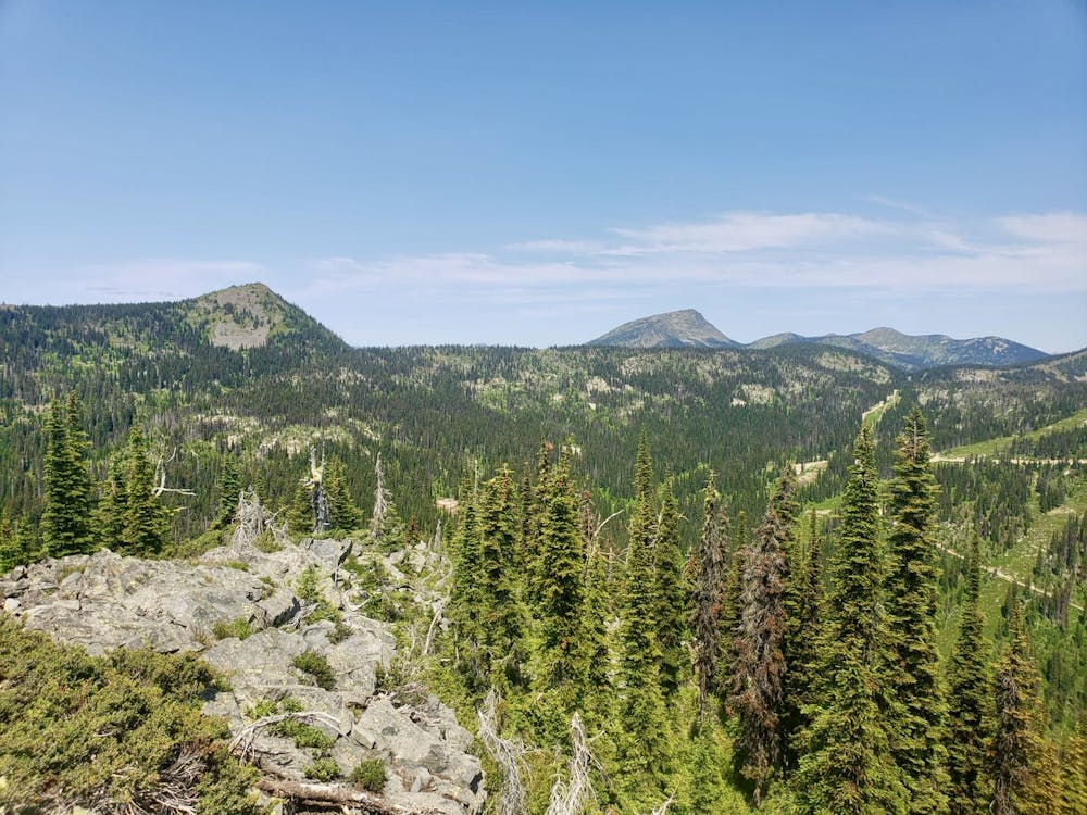
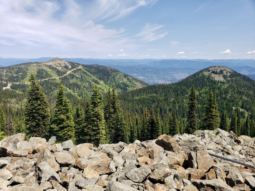
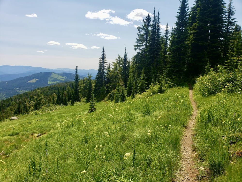
The hike along Rainbow Ridge is famous for 2 things - big views and fabulous wildflowers, and it more than delivers on expectations! Being up so high above the surrounding valleys gives you a commanding vista across the surrounding terrain, and allows you to scope out future adventures on peaks like Old Glory and Mount Roberts.
The trail up the ridge is constantly twisting and turning, so the view is always changing, and there's no telling when you'll suddenly hit a completely new outlook. Most of the time the trail is right on the ridge crest itself, so there's rarely a dull moment. In addition to the views you'll pass through multiple meadows filled with wildflowers, and these are at their best in late June and early July.
The tricky part about this hike is actually moving enough to get it done - the distractions around you make it tough to maintain a good average speed! It's an effort worth making, however, because the trail feels much longer than the raw statistics make it look, and there are tiny twists and turns most of the way, some of which won't be picked up when FATMAP automatically calculates distance - count on doing a 20km hike rather than a 17km hike!
Most hikers follow Rainbow ridge to a vague, rocky summit which has a huge view to the east, because this is the point at which the trail drops off the ridge crest to pass below Record Mountain. You could easily carry on past Record Mountain and then drop down into Red Mountain Resort, but the logistical challenge that doing so entails means that most people decide against a car shuttle and do this as one of the Kootenay's finest out-and-back hikes.
Moderate
Hiking along trails with some uneven terrain and small hills. Small rocks and roots may be present.

The trail contains some obstacles such as outcroppings and rock which could cause injury.

Little chance of being seen or helped in case of an accident.
7.1 km away
Summit one of Rossland's key landmarks via an exciting hike/scramble
Severe Hiking
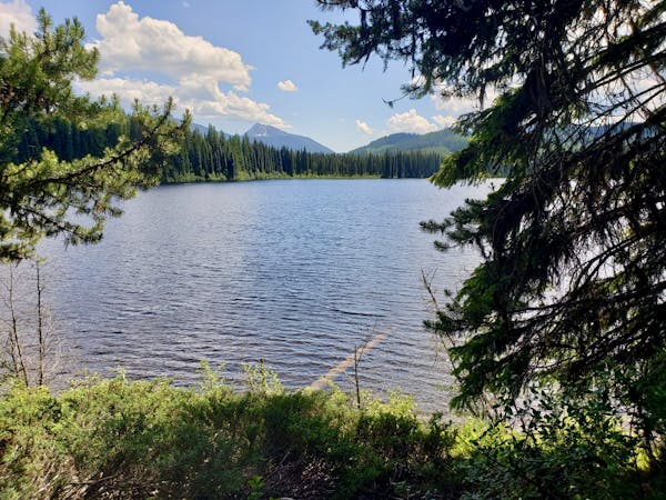
9 km away
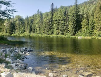
A short, peaceful stroll around a lovely little lake
Moderate Hiking
9.1 km away
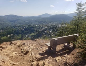
A quick hit from Rossland to a gorgeous little summit
Moderate Hiking
9.8 km away
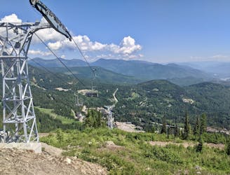
Hike a Rossland landmark and enjoy some epic views
Difficult Hiking
5 routes · Hiking
5 routes · Hiking