2 m away
Nip & Tuck, Snake's Back & Wobbly Pops
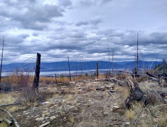
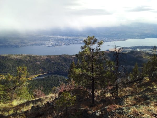
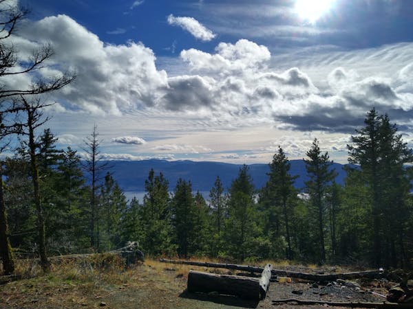
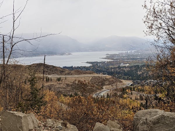
Link a series of Gillard trails to create a tech-y and scenic adventure
Severe Mountain Biking
- Distance
- 9.6 km
- Ascent
- 484 m
- Descent
- 484 m
A fun and technical roll down the lower part of Gillard
Mountain Biking Severe

Starting from a wide track which splits the Gillard trail network, this is a great ride in itself, or an addition one o the upper trails such as Moose Knuckle.
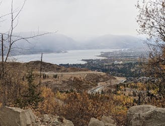
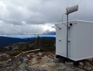
The trails at Gillard are accessed via the Gillard Fire Service Road (FSR), which branches off Mission Drive in the southern part of the Mission Valley. The official trail parking lot is on the left, 3 kilometres after the Gillard FSR leaves Mission Drive, but it's legal to drive all the way up the FSR to reach the Kettle Valley Rail Trail. As such, the bike routes at Gillard can be done as shuttle runs and you can tag team riding and driving. There are also various spots to park on the way up the FSR but they are officially only drop-off points and not parking spots. That said, if you did park at them you certainly wouldn't be the first people to do it....If you "break the rules" then at least do so respectfully and we suspect you'll have no problems.
We've shown this route going from - and back to - the main parking lot, and the first task of the ride is to follow the FSR up to the Kettle Valley Rail Trail. The ride up should take less than half an hour if you do this route in isolation, but allow an hour if you go all the way up to the KVR and ride from there.
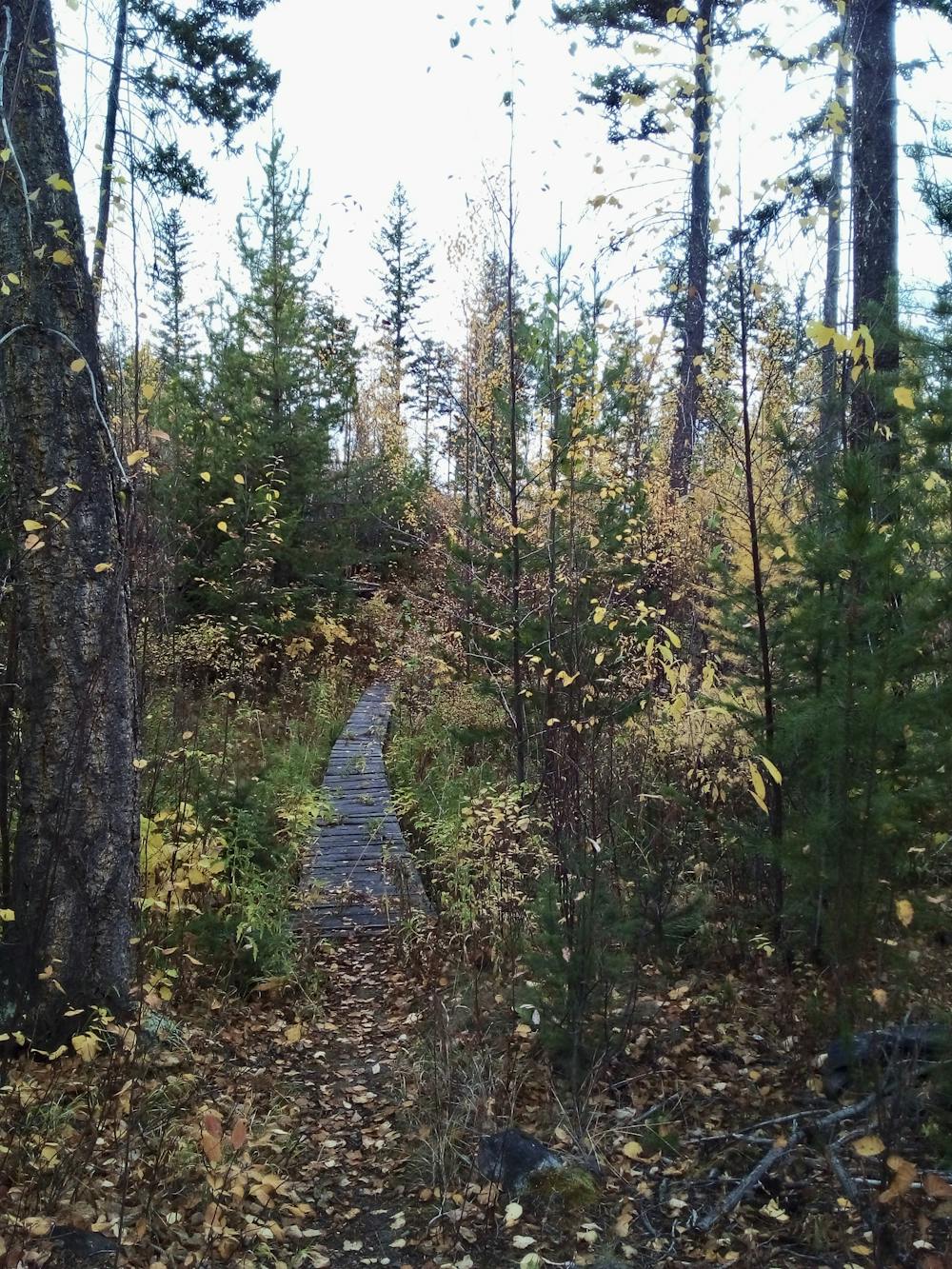
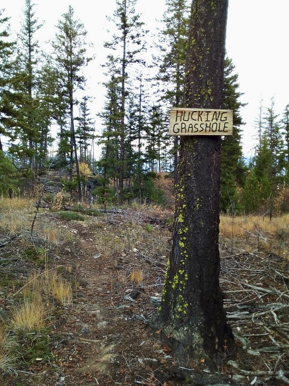
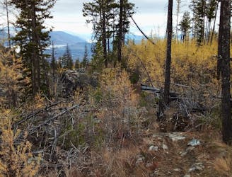
Once on Hucking Grasshole (can we just take a minute to acknowledge what a great route name that is?!?!) the riding feels pretty tech-y and untamed. This definitely isn't a manicured and purpose-built trail - it's a rough journey down through some gorgeous forests.
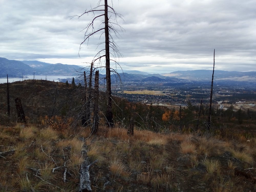
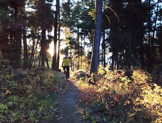
There are some really fun and slightly intimidating rock slabs towards the bottom just before the trail hits a wide track. Turn right and follow the track onto Boss Hog - a much more cared-for trail which has some fun berms, a couple of tech-y sections a biiiig (but low angled) rock slab to finish!
Severe
Widely variable, narrow trail tread with steeper grades and unavoidable obstacles of 15in/38cm tall or less. Obstacles may include unavoidable bridges 24in/61cm wide or less, large rocks, gravel, difficult root sections, and more. Ideal for advanced-level riders.

Some trail sections have exposed ledges or steep ascents/descents where falling could cause serious injury.
Little chance of being seen or helped in case of an accident.
2 m away
Link a series of Gillard trails to create a tech-y and scenic adventure
Severe Mountain Biking
6 m away
A treat for those who like it technical!
Severe Mountain Biking
13 m away
A beast of a day up a local landmark
Difficult Mountain Biking
3.2 km away
A wonderful loop linking some of Crawford's best trails
Difficult Mountain Biking
3.2 km away
Crawford's longest ascent leads to one of its fastest descents!
Difficult Mountain Biking
3.2 km away
One of the longest and best loops at Crawford - this trip is all about the journey and the views.
Moderate Mountain Biking
5 routes · Mountain Biking
7 routes · Mountain Biking · Hiking
3 routes · Mountain Biking