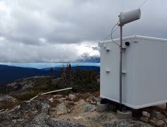
9 m away
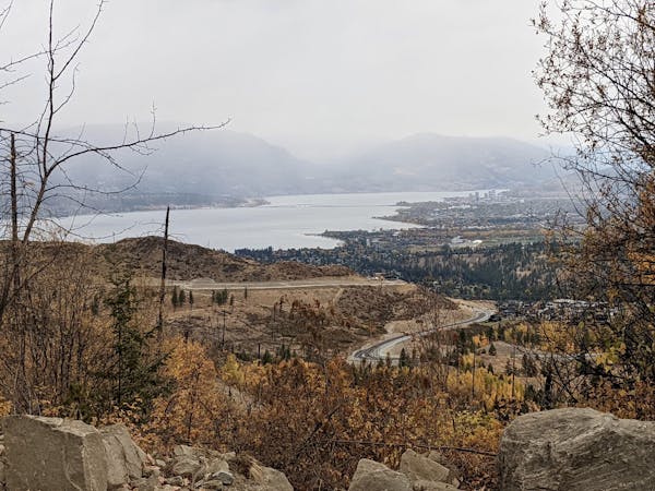
Lost Lake and Crawford Canyon
Crawford's longest ascent leads to one of its fastest descents!
Difficult Mountain Biking
- Distance
- 19 km
- Ascent
- 793 m
- Descent
- 793 m
A wonderful loop linking some of Crawford's best trails
Mountain Biking Difficult

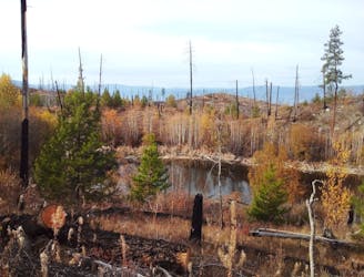
Crawford (part of Myra-Bellevue Provincial Park) is a maze of excellent trails - most of which are moderate or difficult on the FATMAP scale - and this ride links many of the best of them. Park up in a large parking lot at the end of Stewart Road E, just past a small power station.
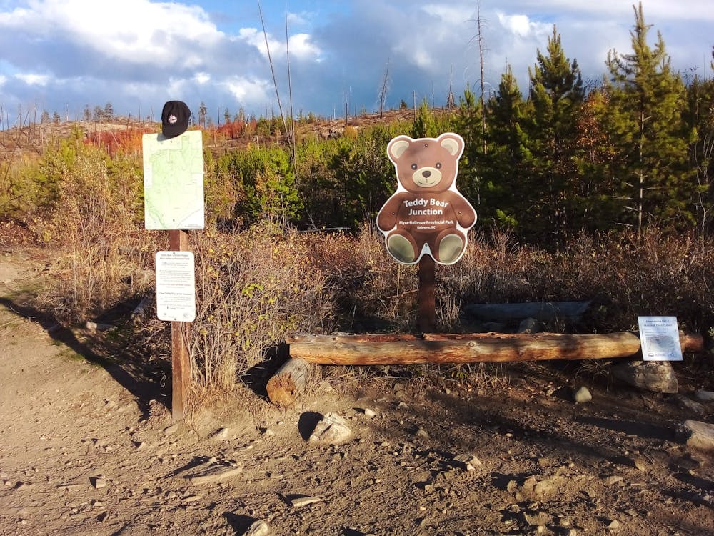
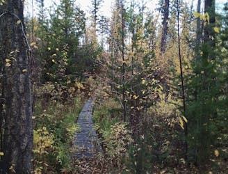
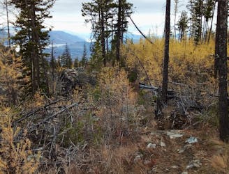
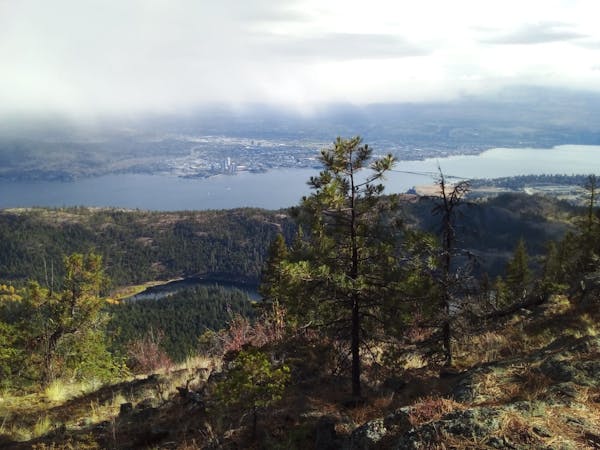
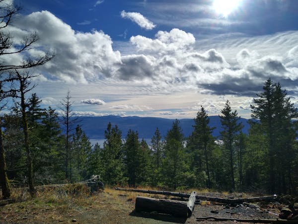
The ride up is simple enough and follows Lost Lake Trail and then the Pink Highway, passing Teddy Bear junction (which you'll struggle to miss - see the photo attached to this route) and Flamingo Flats; 2 Crawford landmarks and the meeting points for multiple trails. The Pink Highway - and the ascent for this ride - ends when it intersects the Lookout Trail.
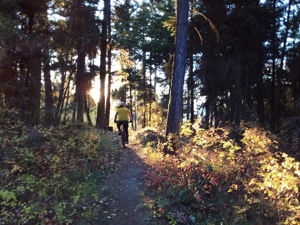
Hang a left and begin riding down the Lookout Trail, which is fast, furious and never too challenging. As you'll see from the map and the various signage around Crawford, there are multiple ways of descending once you've started down the Lookout Trail, but the route shown here provides maximum riding and consistent difficulty.
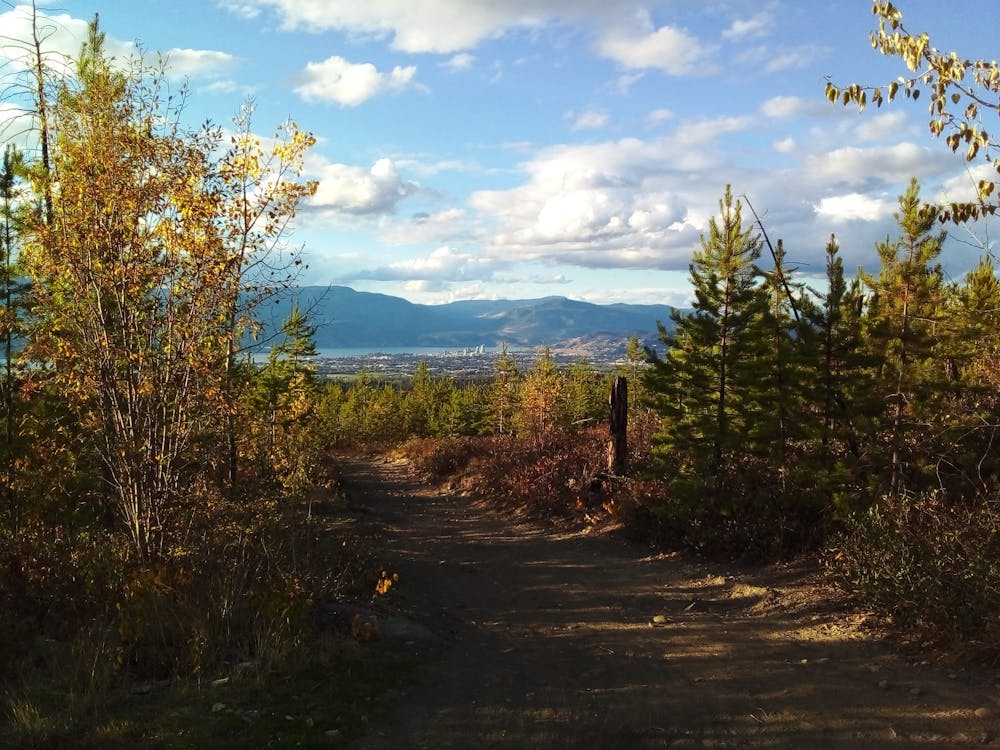
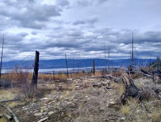
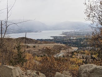
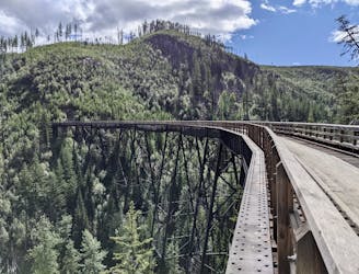
The first turning off the trail is right onto the Race Classic Trail and then another junction leads you onto Galloping Trail and, finally, Fairlane Trail. The riding on all sections of the trail is pretty consistent; expect flow, brief rocky sections and epic views throughout.
The final section back down to the parking lot is undulating but still fun and features some fun, rooty drops. Overall it feels at the end of this ride like you've had a lot of fun given the amount of ascent you did, which is always a nice way to finish a bike trip!
Difficult
Mostly stable trail tread with some variability featuring larger and more unavoidable obstacles that may include, but not be limited to: bigger stones, roots, steps, and narrow curves. Compared to lower intermediate, technical difficulty is more advanced and grades of slopes are steeper. Ideal for upper intermediate riders.

The trail contains some obstacles such as outcroppings and rock which could cause injury.
Away from help but easily accessed.
9 m away
Crawford's longest ascent leads to one of its fastest descents!
Difficult Mountain Biking
11 m away
One of the longest and best loops at Crawford - this trip is all about the journey and the views.
Moderate Mountain Biking
3.2 km away
Link a series of Gillard trails to create a tech-y and scenic adventure
Severe Mountain Biking
3.2 km away
A fun and technical roll down the lower part of Gillard
Severe Mountain Biking
3.2 km away
A treat for those who like it technical!
Severe Mountain Biking
3.2 km away
A beast of a day up a local landmark
Difficult Mountain Biking
9.4 km away
Kelowna's most famous easy ride is well worth the hype!
Easy Mountain Biking
5 routes · Mountain Biking
7 routes · Mountain Biking · Hiking
3 routes · Mountain Biking