2 m away
Lost Lake and Crawford Canyon
Crawford's longest ascent leads to one of its fastest descents!
Difficult Mountain Biking
- Distance
- 19 km
- Ascent
- 793 m
- Descent
- 793 m
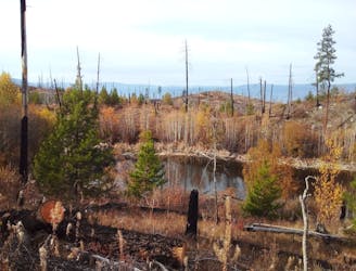
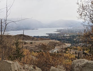
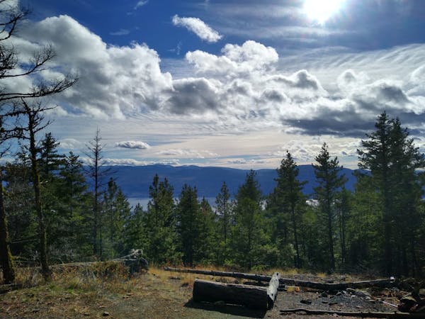
One of the longest and best loops at Crawford - this trip is all about the journey and the views.
Mountain Biking Moderate

With a long, winding ascent followed by a fun but easy trail down, this is a trip for riders who enjoy views and ambience as much as riding itself. The Myra Bailout trail is a great journey, but has very few technical sections and isn't going to present many problems to intermediate or advanced riders.
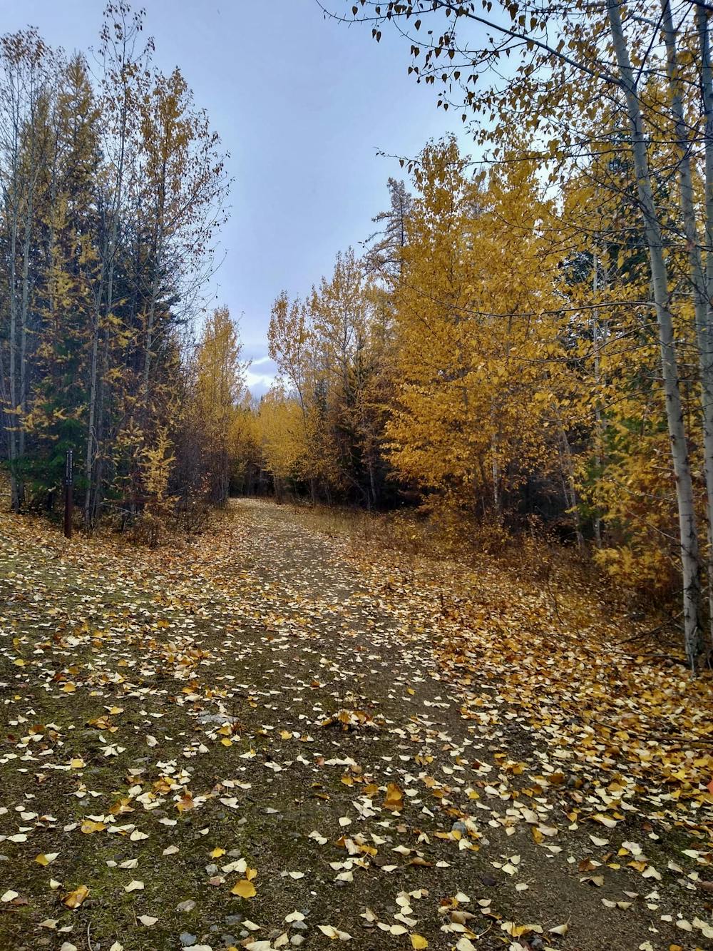
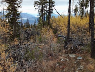
The long climb from the Crawford trails parking lot up to the Kettle Valley Rail Trail (KVR) can be done several ways. It's possible to just climb the Lost Lake Trail (which is described elsewhere in FATMAP) all the way, or to do what we've drawn here and combine Lost Lake with the Pink Highway, Blancher's Silver and Captain Nemo. This way of climbing to the KVR is varied, scenic and never steep enough that you'll need to get off and push for more than a couple of metres at a time.
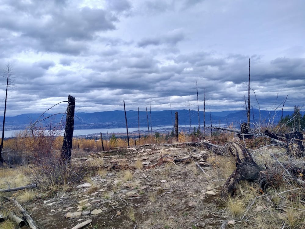
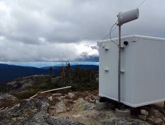
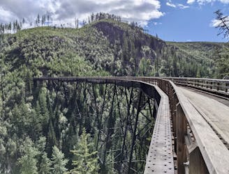
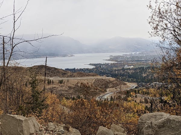
Regardless of how exactly you get there, reaching the KVR feels great - partly because the hard work is over and partly because you'll be at a famous landmark with a storied history. The KVR itself can be ridden in its entirety over the course of a week and doing so is a fabulous way to see interior BC.
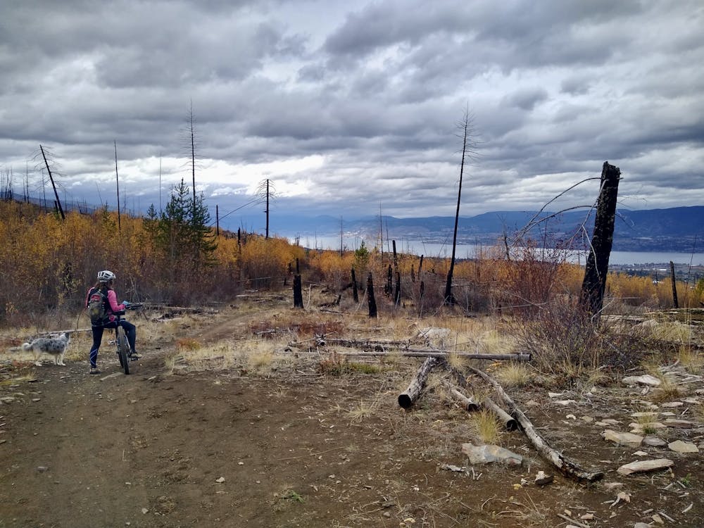
Head north-east along the KVR (which is flat and easy to ride along) and then drop into the Myra Bailout (which is signposted) as it begins to swing around to the south.
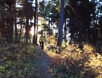
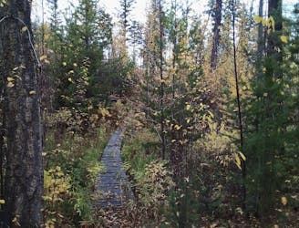
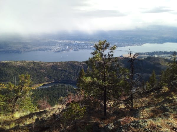
The riding all the way down the trail is straightforward and there are no significant obstacles. Most of the riding is one smooth and easy singletrail where the only major challenge is keeping your eyes on the trail rather than looking at the fabulous views!
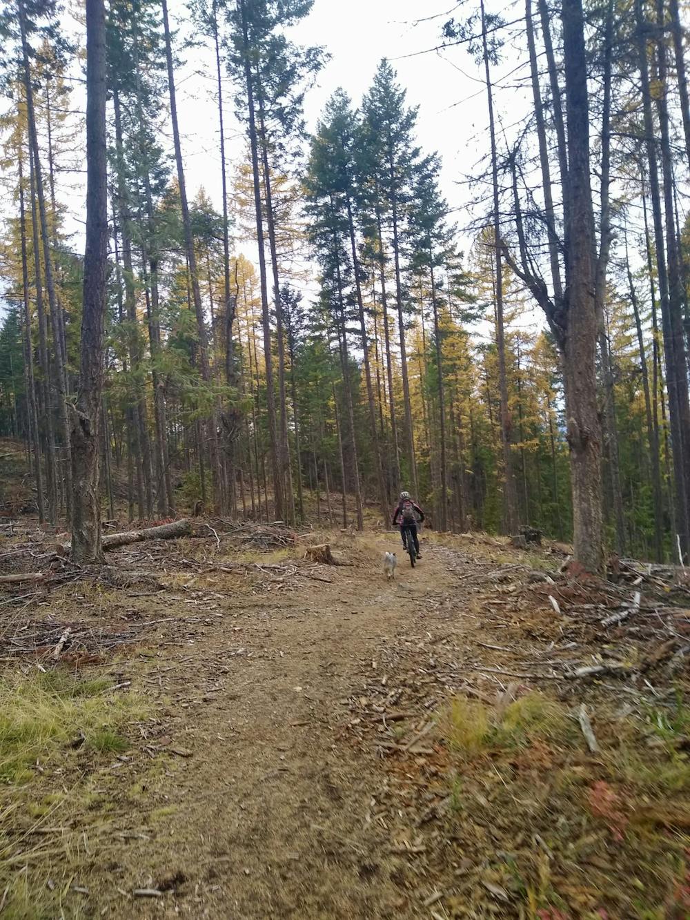
When the Myra Bailout ends, jump on the Fairline Trail and follows this and it descends and then undulates over to the parking lot.
Moderate
Mostly stable trail tread with some variability, with unavoidable obstacles 8in/20cm tall or less. Other obstacles such as rock gullies and steep sections may exist. Ideal for lower intermediate riders.

The trail contains some obstacles such as outcroppings and rock which could cause injury.
Away from help but easily accessed.
2 m away
Crawford's longest ascent leads to one of its fastest descents!
Difficult Mountain Biking
11 m away
A wonderful loop linking some of Crawford's best trails
Difficult Mountain Biking
3.2 km away
Link a series of Gillard trails to create a tech-y and scenic adventure
Severe Mountain Biking
3.2 km away
A fun and technical roll down the lower part of Gillard
Severe Mountain Biking
3.2 km away
A treat for those who like it technical!
Severe Mountain Biking
3.2 km away
A beast of a day up a local landmark
Difficult Mountain Biking
9.4 km away
Kelowna's most famous easy ride is well worth the hype!
Easy Mountain Biking
5 routes · Mountain Biking
7 routes · Mountain Biking · Hiking
3 routes · Mountain Biking