581 m away
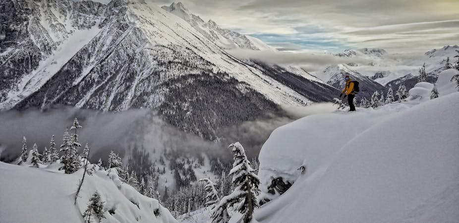
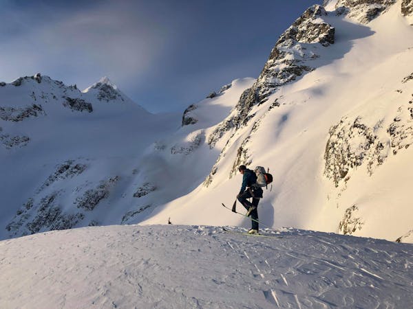
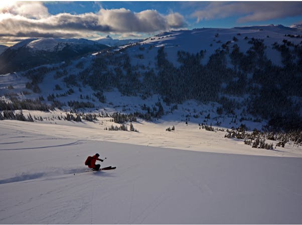
The Spearhead Traverse: A Whistler Backcountry Classic
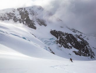
Whistler’s backcountry ski tour rite of passage, taking you through some of the most impressive ski terrain on the continent.
Difficult Ski Touring
- Distance
- 44 km
- Ascent
- 4.2 km
- Descent
- 4.2 km