313 m away
Aussie Couloir
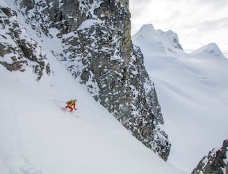
The Ultra Classic Couloir of the Duffey
Severe Ski Touring
- Distance
- 19 km
- Ascent
- 1.8 km
- Descent
- 1.8 km
Cerise Creek's Most Popular Route
Ski Touring Easy

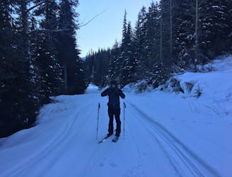
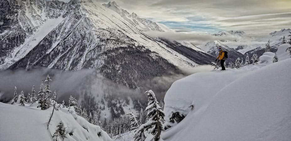
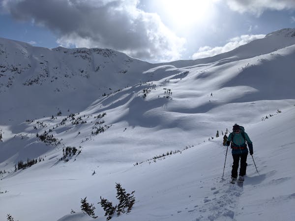
With a trailhead at 1300m, the Duffey Lake Road is a popular ski touring destination for Southwest BC. Amongst it's most popular routes is Motel 66.
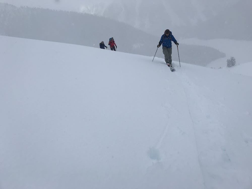
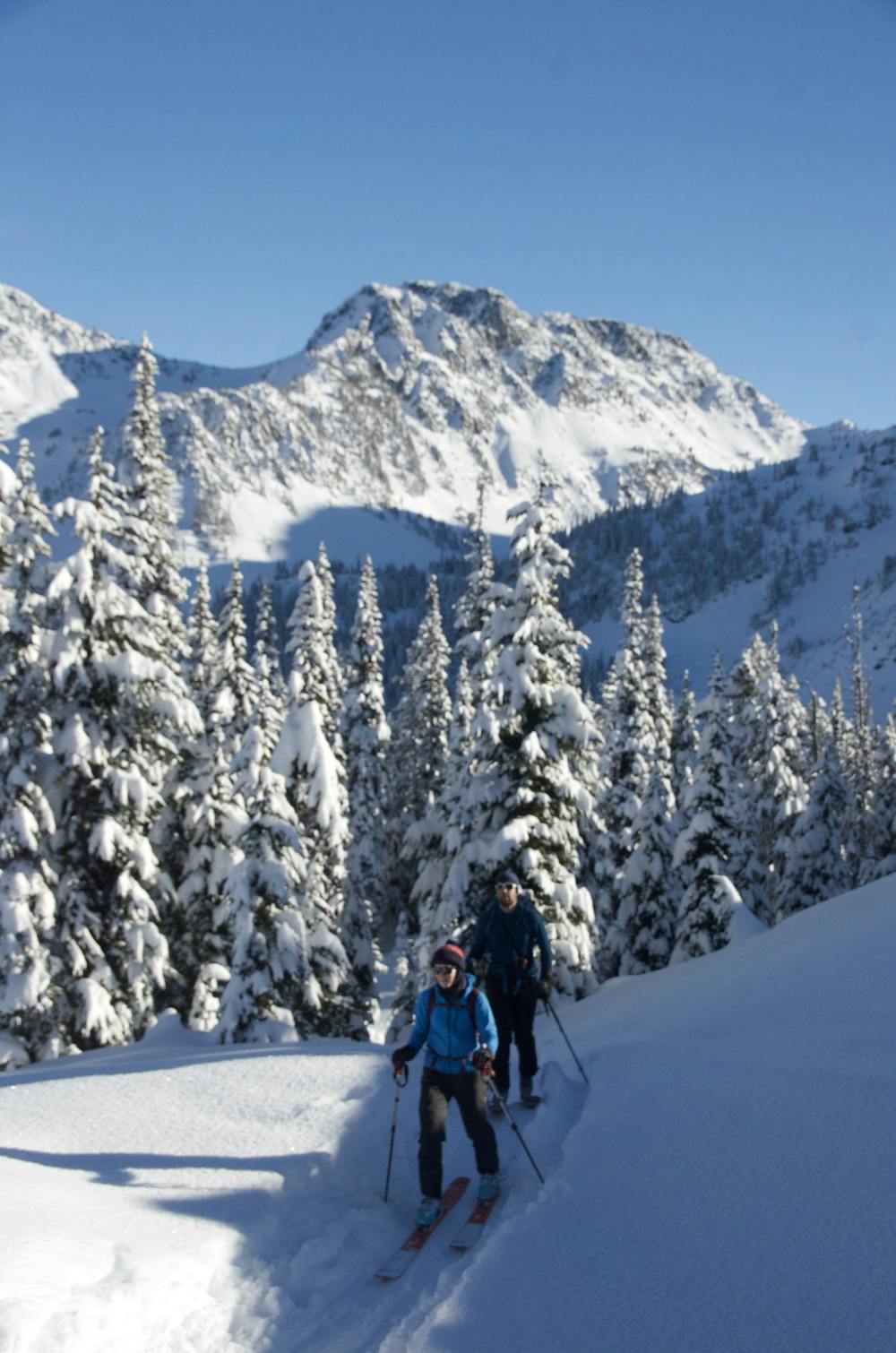
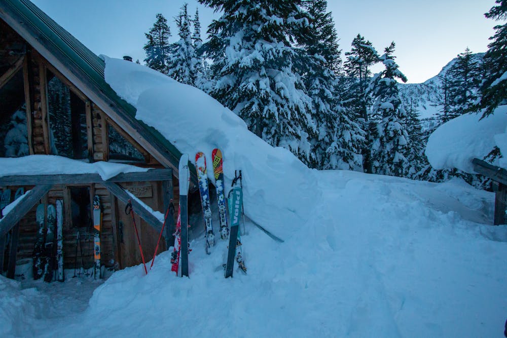
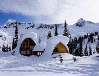
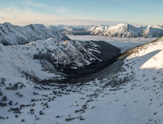
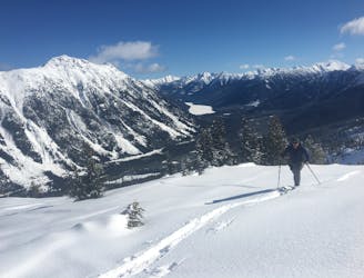
From the pull off on the highway and skintrack works it's way across the valley, and up onto the climbers right (east) side of the valley. The old trail has been covered by a huge landslide since 2019. All skiers are legally obligated to stay 50m out of the debris field. The best skin track is on the east side through the trees which are generally pretty descent skining. The old avalanche paths do have some new growth, but frequent skiers passing through have widdened these tracks. Passed the landslide the trail follow the Creek beg up between a jumble of boulders, before arriving at the large moraine, and curving upwards between the trees and the moraine. A orange triangle marks the turn off into the trees to Keiths Hut. Many folks will spend the night at this hut. It is first come first serve, and donations are expected. If you stay be sure to use the firewood sparingly as the hut heats up quickly, and it's common for the hut to get too hot. Also each small log costs about $25 to get flown in.
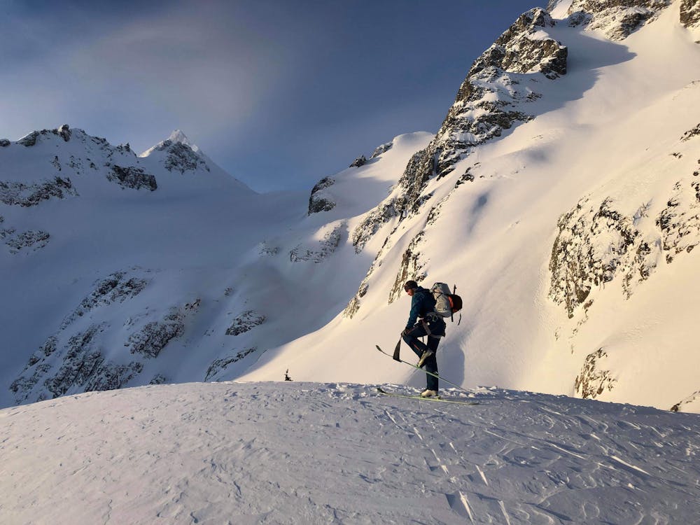
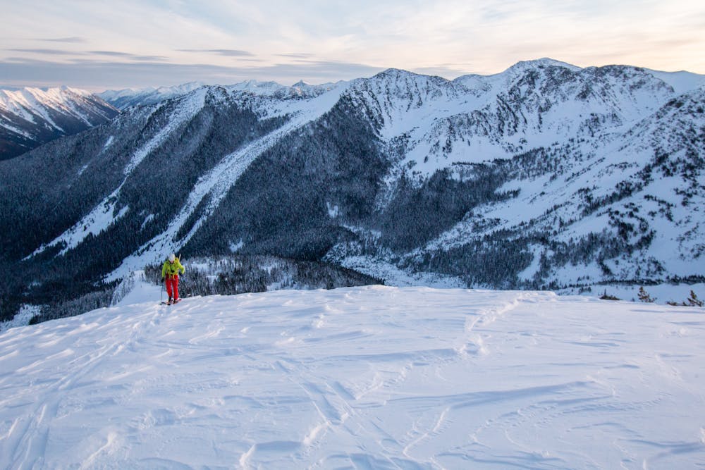
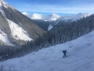
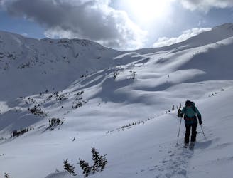
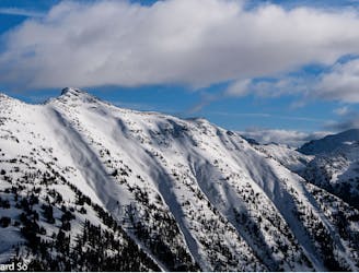
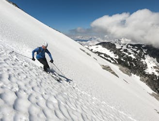
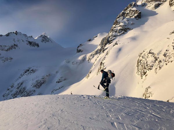
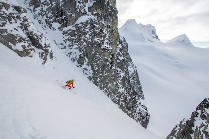
From the hut there is a small trail to the north across the meadow from the hut. It rises through the trees to the ridge where it climbs gently upwards. The upper section gets much steeper and is frequently wind blown. The terrain is considered ATES Challenging here. The best runs are down the south facing slope in the sections between the trees. Wind slabs and sun slabs are common hazards. A direct line to the hut puts you above a rather large cliff that is best avoided. Stay slightly skiers right.
At the base of the run where the moraine begins, stay high and traverse skiers left beneath the cliff band. This give you a bit more of a run at the flat meadow that needs to be crossed to get back to the hut, and back to the ridge. This run can be lapped several times.
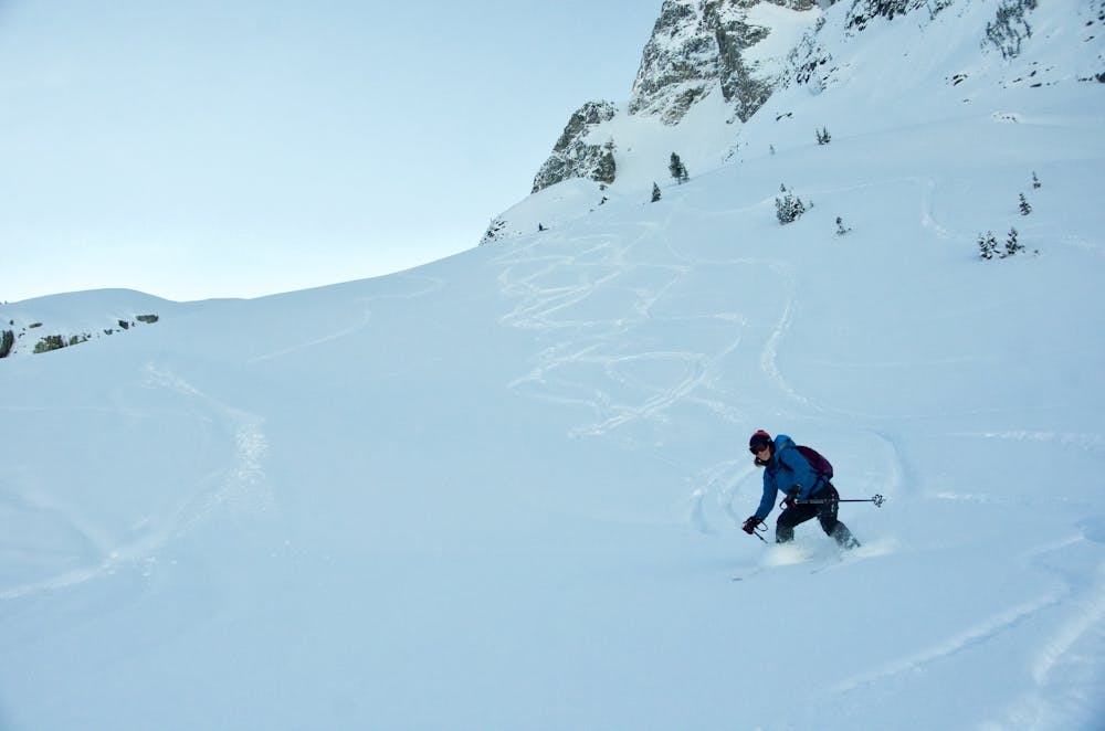
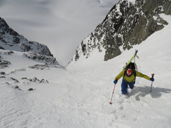
The most popular run out is down the north face of the ridge. This terrain is ATES Complex, and there is plenty of overhead risk, with lot's of convex rolls. The descent traverses skiers right after 150m, to some wide trees and down to the slide path. To be legally compliant it is best to either traverse through the trees, or skin back up and hike along the tree line back to the exit skin track.
Skiing out is fairly easy, with only the road section possibly require a skin up. From here there is a very steep and tight luge track. Be sure to be loud as skiers are often coming up this skin track. It's also very hard to control speed as there is little room to turn.
Easy
Wide gentle slopes at around 20 degrees or less.

Exposure is limited to that of the slope itself. Getting hurt is still likely if the slope is steep and/or the snow is hard.

Away from help but easily accessed.
313 m away
The Ultra Classic Couloir of the Duffey
Severe Ski Touring
3.7 km away
A luxury hut with epic tree skiing
Moderate Ski Touring
4.4 km away
A technically challenging couloir further off the beaten track
Severe Ski Touring
4.5 km away
Classic coastal couloir in a wild setting
Severe Ski Touring
4.5 km away
A pleasant traverse on the north side of the Duffey Lake Road
Moderate Ski Touring
4.5 km away
A great intermediate zone with open bowls and easy access
Moderate Ski Touring
4.5 km away
Consistent fall line skiing down a series of well-defined avalanche paths
Difficult Ski Touring
4.5 km away
Ultra classic day tour in a stunning location
Moderate Ski Touring
4.5 km away
Easy access from Pemberton or Lillooet with a variety of skiing make this a classic, forested ski tour.
Moderate Ski Touring
6.3 km away
A major glaciated face off the north side of Slalok Peak directly down to Upper Joffre Lake.
Difficult Ski Touring
7 routes · Ski Touring
3 routes · Ski Touring
5 routes · Ski Touring
5 routes · Ski Touring
4 routes · Ski Touring