691 m away
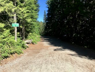
Full Skywalk Loop
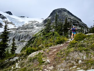
A big loop on the Skywalk Trail network on Rainbow Mountain.
Easy Trail Running
- Distance
- 25 km
- Ascent
- 1.5 km
- Descent
- 1.5 km
First Time Ever WAM 175 (Original) WAM 175 route attempt by Vicki, Nadine, Matt & Ruchel
Trail Running Difficult

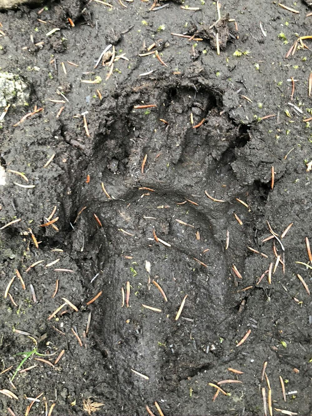
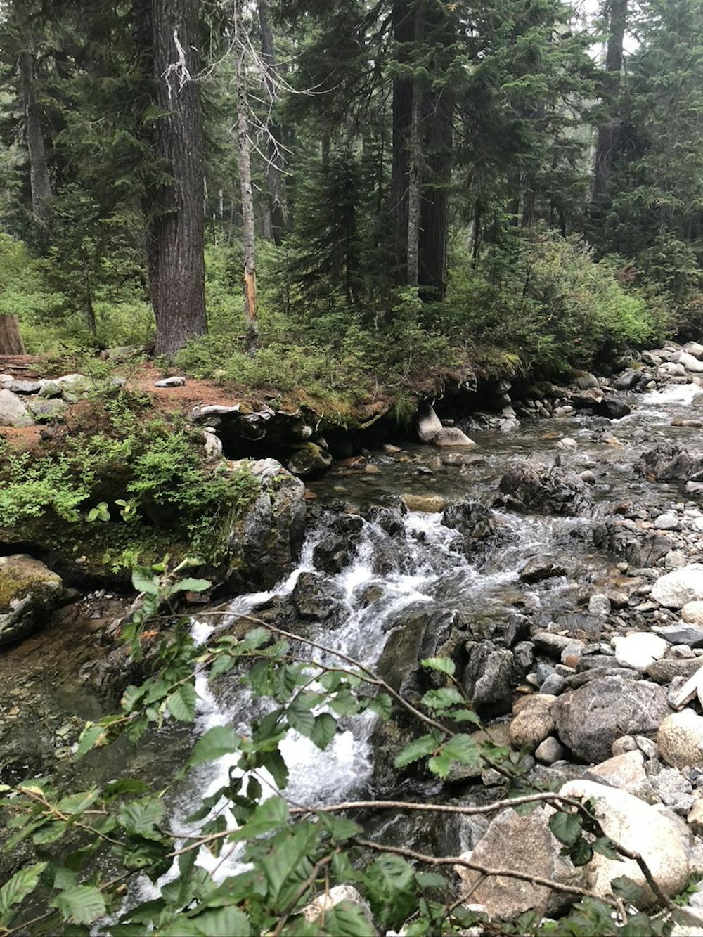
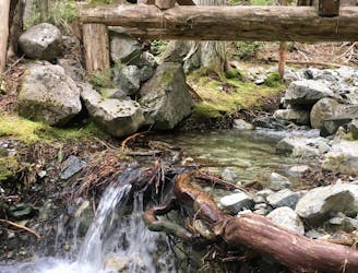
Please note: I have put a note into tech support, but as fun as this map is, the stats are incorrect. The route is 102 miles long and the elevation gain 8344 m, rather than 7196 m. Hope to correct this soon ;) But regardless, this is an Absolutely Spectacular Whistler Ultra Trail Running Route... or fabulous hike. Used Gary Robbin's original design for the WAM 175, with a tweak or two. Created GPX and scouted route prior to "event". Although our main goal was to stay true to Gary's beautiful vision, we discovered we had to take some detours due to "rules". Slight changes included needing to remove "lollipop" from Jane Lakes and staying off main service roads when descending from Blackcomb alpine because of construction and after hours travel. Finally, we shortened last leg (Comfortably Numb) simply because of fatigue. We know the next attempt will follow the whole original plan for the route with success! Go for it (the full at least 175)!! 6 legs, each with easy crew (road) access between. Enjoy amazing views and feel the delightful burn from above Iceberg Lake, Rainbow/Hanging/Madeley/Callaghan/South Flank, Jane Lakes/Crater Rim, Khyber/High Note/Musical Bumps/Singing Pass, Ascent Trail/Decker Loop, Comfortably Numb in one single weekend ;) Emerald forests, high alpine, lakes, streams, and mostly single track with... not that many service roads.
Difficult

Some trail sections have exposed ledges or steep ascents/descents where falling could cause serious injury.

Away from help but easily accessed.
691 m away
A big loop on the Skywalk Trail network on Rainbow Mountain.
Easy Trail Running
3 km away
The easiest singletrack trails in Whistler.
Moderate Trail Running
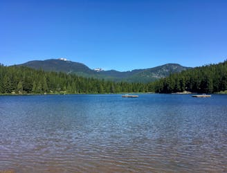
3 km away
Run along a flat gravel path to a beautiful swimming lake.
Easy Trail Running
7.4 km away
One of Whistler's most iconic trails.
Moderate Trail Running