90 m away
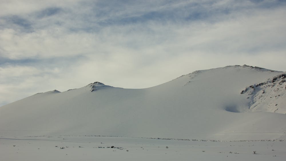
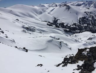
Cerro Colorado
A short tour with a great freeride descent
Moderate Ski Touring
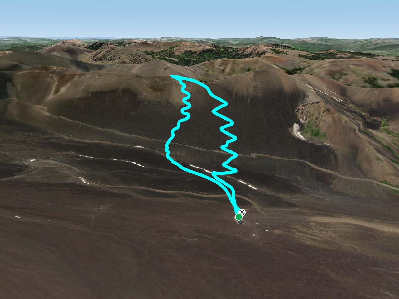
- Distance
- 4.8 km
- Ascent
- 387 m
- Descent
- 387 m
The closest access to Cautin Ridge, gateway to Valle Pehuenche.
Ski Touring Easy
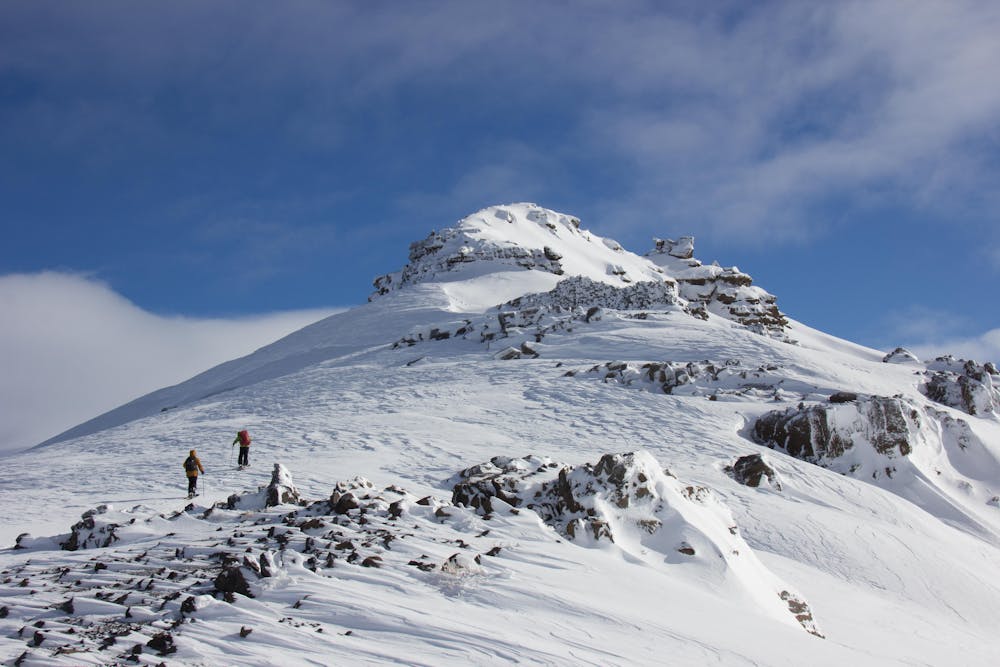
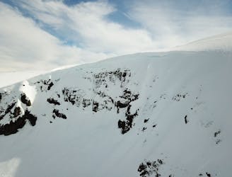
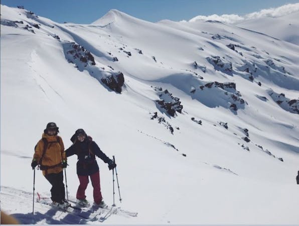
This route to Cerro Cautin 6.496ft (1.980m) is one of the best access to Valle Pehuenche. Only 45 - 60 minutes of skinning-up leaves you right on the ridge from where you can pick your best line either back to Corralco's parking lot or to drop east into Valle Pehuenche. Watch out for avalanche initiation zones on the East-NorthEast aspects of valle Pehuenche as these slopes start getting sun early in the morning. The usual strong winds of this area run from NW to SE most of the season so chances are that you might find an icy layer mixed with wind-loaded patches after any intense period of wind. Always carry your ski and/or boot crampons and if the conditions don't look that good for an enjoyable touring direct from the parking lot, choose a longer approach towards the north aiming for the saddle (Paso Lolco) between Lonquimay Volcano and Cerro Cautin.
Easy
Wide gentle slopes at around 20 degrees or less.

As well as the slope itself, there are some obstacles (such as rock outcrops) which could aggravate injury.
Away from help but easily accessed.
90 m away
A short tour with a great freeride descent
Moderate Ski Touring
1.3 km away
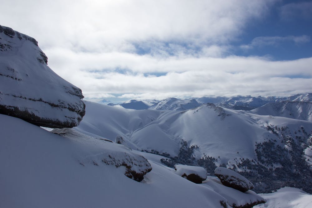
The hildden gems nearby Corralco Resort
Moderate Ski Touring
9.1 km away
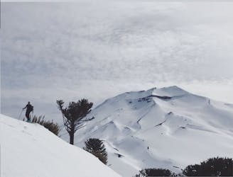
From ancient forests to a steep chute
Difficult Ski Touring
3 routes · Ski Touring