227 m away
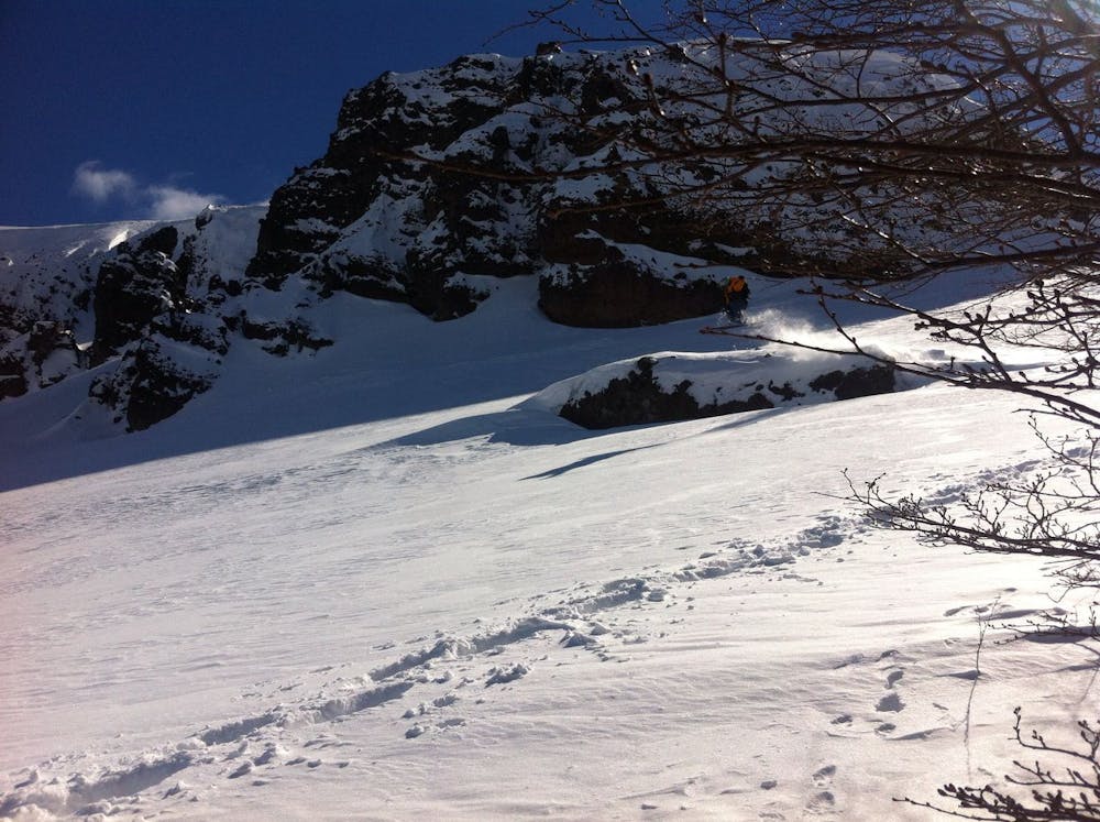
Los Arenales Chute
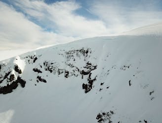
From ancient forests to a steep chute
Difficult Ski Touring
- Distance
- 4.5 km
- Ascent
- 299 m
- Descent
- 298 m
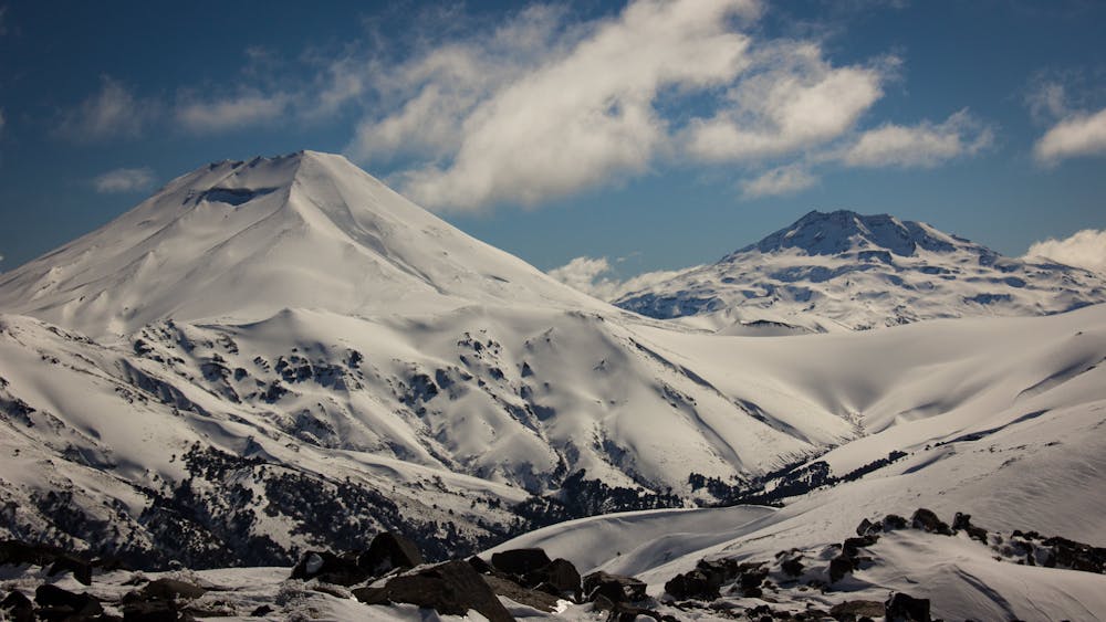
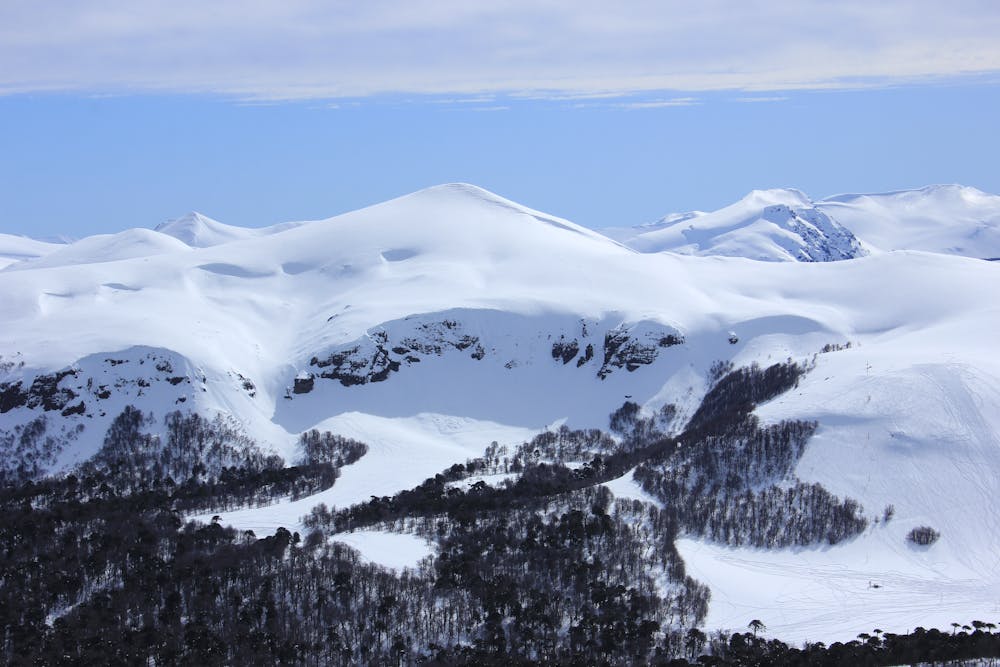
Cota-9, Highest Point Of This Amazing and Peaceful Backcountry Area In the Heart Of The Araucania Indigenous Territory.
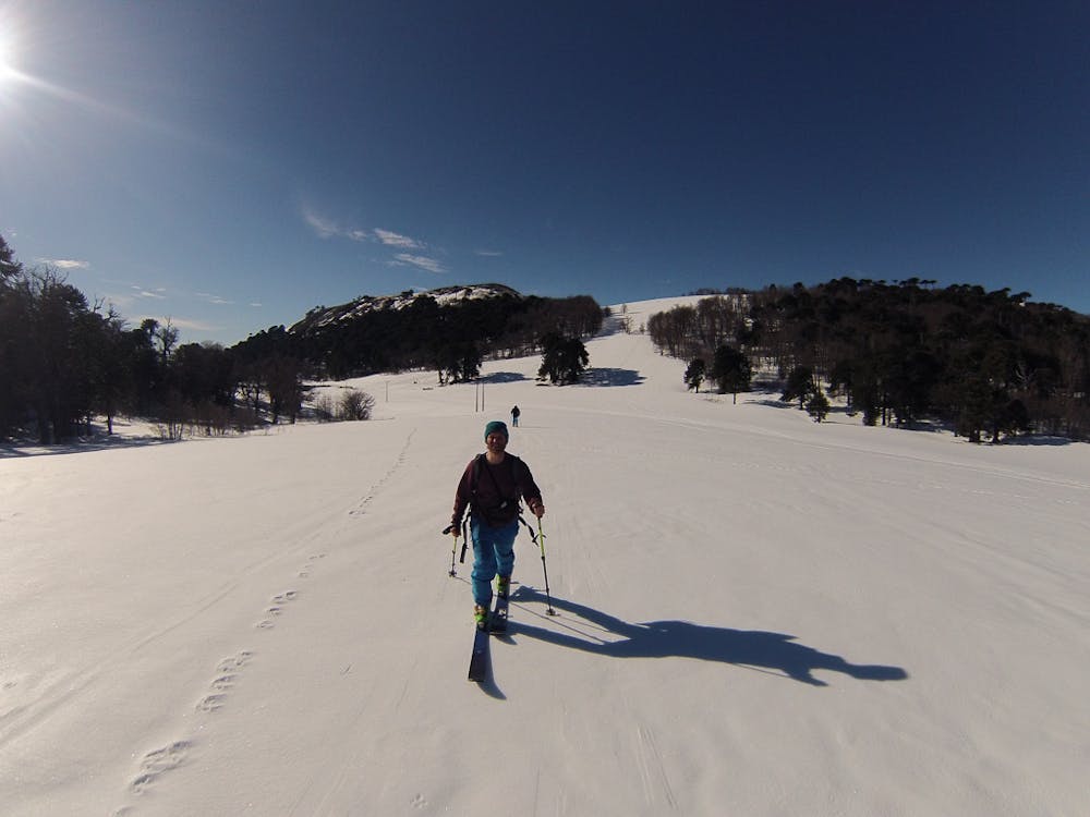
Ski Touring Easy

Located only 10 Kms. NW of Lonquimay city. (25-45 minutes depending on road conditions) Los Arenales Ski Area is an incredible place to slow down and observe a different from the usual chilean ski resort scene. 4x4 vehicle is highly recommended, specially after a snowstorm. Always plan ahead and ask the locals for road conditions.
The Lonquimay municipality is quite good at keeping the R-89 road clear from Lonquimay UP TO LOS ARENALES but bear in mind that the road from Malalcahuello to Los Arenales ("Cordillera de las Raíces") is very likely to be closed during winter. We recommend you to get to Lonquimay through "La Raíces" Tunnel.
What 2 decades ago used to be a two lifts small ski center visited by people of Araucania and neighboring region is now an incredible and peaceful area where the locals go for ski touring and snowshoeing. On any given day you might see local families and kids of all ages having a blast while sliding down the snow-covered slopes with plastic toboggans.
There was a lodge at the bottom of the hill, managed by an indigenous family that used to cater visitors with typical southern food but it was destroyed in a fire in November 2021.
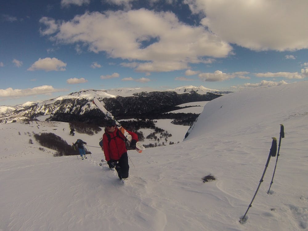
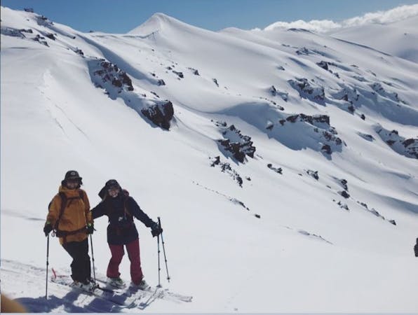
<strong>Ski Tour route</strong> Follow the old lift line by the towers, once you are on the shoulder continue towards the highest peak (Cota-9) to the W-NW. For the descend, go straight down towards the gully at the right end of the cliff band (skiers right). If you feel like descending in between the cliff take a good look as you climb and aim for the second flat top above the cliff and pick your line.
The place is really fun and welcoming for multiple fresh lines in a day. The back valley that connects to "Valle de las Mellizas" gets a lot of sun on that East facing slope and it's generally rocky but after a good storm that's a mellow run with lots of turns, open terrain and beautiful tree skiing through Araucaria forests.
Easy
Wide gentle slopes at around 20 degrees or less.

Exposure is limited to that of the slope itself. Getting hurt is still likely if the slope is steep and/or the snow is hard.

Away from help but easily accessed.
227 m away
From ancient forests to a steep chute
Difficult Ski Touring
8.3 km away
The hildden gems nearby Corralco Resort
Moderate Ski Touring
9 km away
A short tour with a great freeride descent
Moderate Ski Touring
3 routes · Ski Touring