3.8 km away
Valle Pehuenche / Cerro Cautín
The hildden gems nearby Corralco Resort
Moderate Ski Touring
- Distance
- 6 km
- Ascent
- 724 m
- Descent
- 724 m
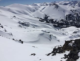
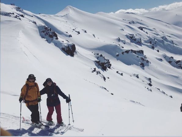
Easy tour with amazing panoramic views to the volcanoes of the region
Ski Touring Easy

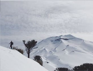
Mirador Patachoique is a highly recommended tour to do after a snowfall and to those who are new to backcountry ski. For the more experience ones once on top there are more options to ski such as Cerro Nueve and many slopes to spend a hole day out there.


From the village of Malalcahuello you have to drive towards the Corralco ski resort, once you get to the bridge Colorado take right, sometimes from there the road could be all snow covered from here so you will have to decide if leaving the car there or continue to the Cautín bridge, which is usually the parking.
From the car start skinning up on the car road until a sign that says "Mirador Pehuenche", here you have to go down and left until crossing a stream and immediately a fence, once the landscapes opens up you go up and right and follow a well marked forest path. When the path finish just follow the ridge up until you get above treeline and you will see the Mirador Patachoique.
The way down is the same you did up offering a fun and easy terrain to ski in. The main difficult going down could be the trees and bushes but the slope is enough clear to leave you enjoy the way down.
Easy
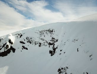
Wide gentle slopes at around 20 degrees or less.

Exposure is limited to that of the slope itself. Getting hurt is still likely if the slope is steep and/or the snow is hard.

Away from help but easily accessed.
3.8 km away
The hildden gems nearby Corralco Resort
Moderate Ski Touring
4.9 km away
A short tour with a great freeride descent
Moderate Ski Touring
5.6 km away
From ancient forests to a steep chute
Difficult Ski Touring
3 routes · Ski Touring