3.7 km away
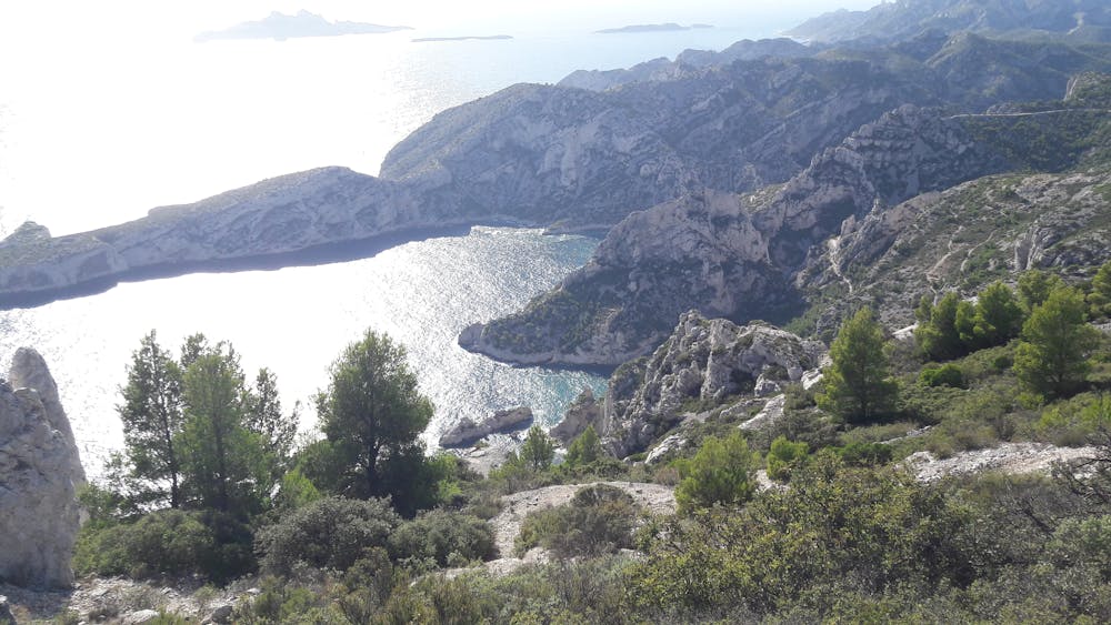
Sormiou
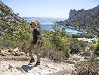
Explore one of the legendary Calanques on this gorgeous hike
Moderate Hiking
- Distance
- 5 km
- Ascent
- 271 m
- Descent
- 262 m
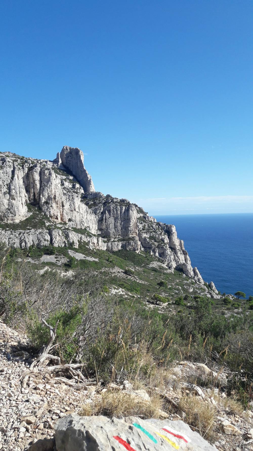
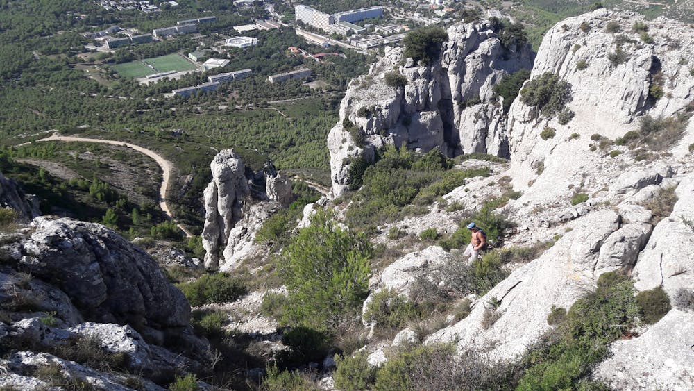
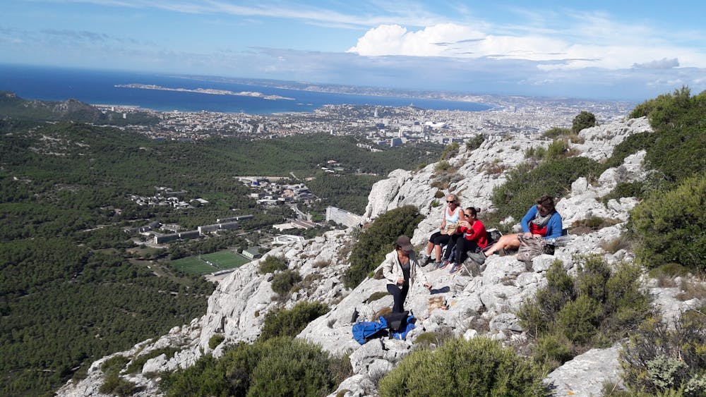
par l'aiguille Guillemin et la grande Candelle
Hiking Moderate

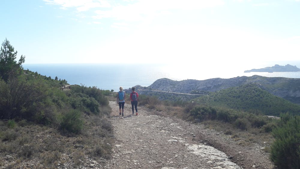
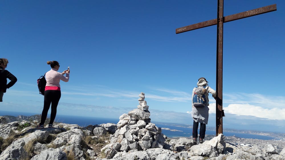
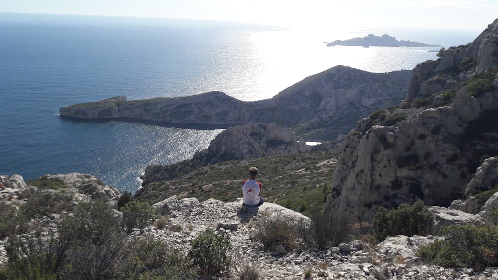
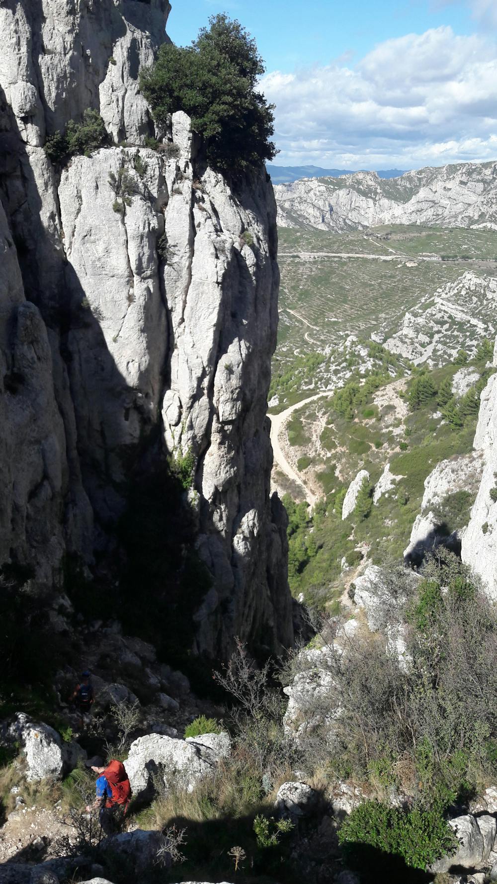
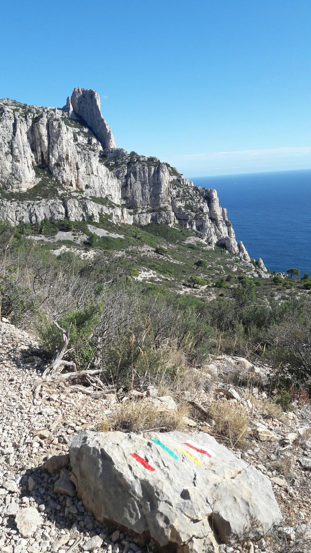
This is a popular hiking route which is generally considered to be moderate. It's remote, it features low exposure and is typically done between September and June. From a low point of 280 m to the maximum altitude of 561 m, the route covers 13 km, 769 vertical metres of ascent and 768 vertical metres of descent.

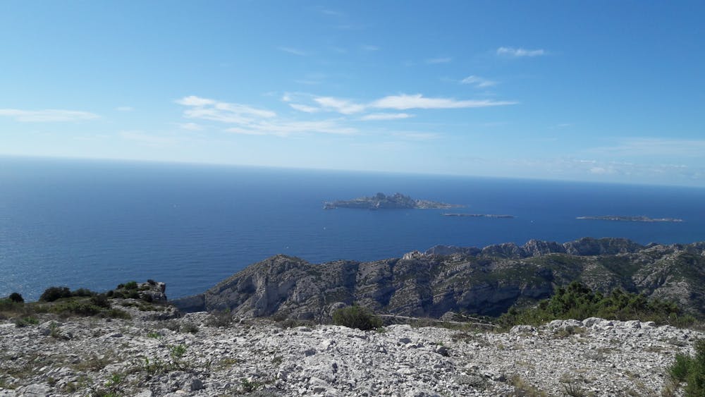

Tour d'une demie journée au départ du col de la Gineste (parking en bord de route)
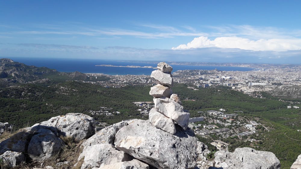
Moderate
Hiking along trails with some uneven terrain and small hills. Small rocks and roots may be present.

The path is on completely flat land and potential injury is limited to falling over.

Away from help but easily accessed.
3.7 km away
Explore one of the legendary Calanques on this gorgeous hike
Moderate Hiking
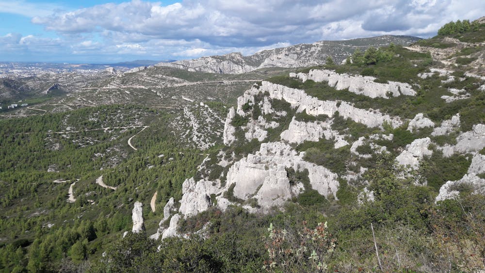
7.4 km away

A beautiful linear hike through the famous Calanques
Severe Hiking