6.4 km away
Roc et Lac de Tavaneuse
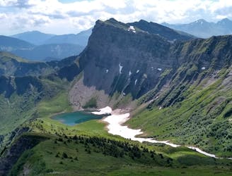
An accessible summit and lake combination.
Difficult Hiking
- Distance
- 8 km
- Ascent
- 1 km
- Descent
- 999 m
Great Avoirias/Chatel ridge walk with views of Lac Montriond
Hiking Moderate

This is a popular hiking route which is generally considered to be moderate. It's remote, it features medium exposure and is typically done between June and September. From a low point of 1.5 km to the maximum altitude of 1.9 km, the route covers 8.9 km, 648 vertical metres of ascent and 649 vertical metres of descent.
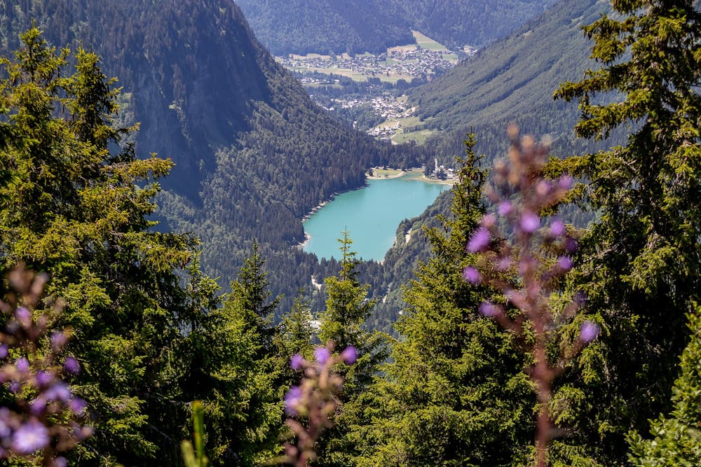
From Lindarets car park take the Chaux Fleurie lift to the ridge or walk up. Great views along the ridge with Chatel on the right and Avoriaz on the left plus Lac Montriond. Nice restaurant at Col de Bassachaux
Moderate
Hiking along trails with some uneven terrain and small hills. Small rocks and roots may be present.

The trail contains some obstacles such as outcroppings and rock which could cause injury.
Away from help but easily accessed.
6.4 km away
An accessible summit and lake combination.
Difficult Hiking
8.6 km away
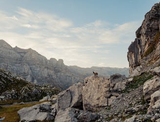
A steep and exposed hike. Beatifull panaromas
Severe Hiking