4 km away
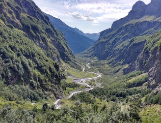
Via Alpina: Samoens to Le Buet via the Aiguilles Rouges
A 3-day hike along part of the Via Alpina in the stunning Haute-Savoie region of France.
Moderate Hiking
- Distance
- 53 km
- Ascent
- 3.8 km
- Descent
- 3.2 km
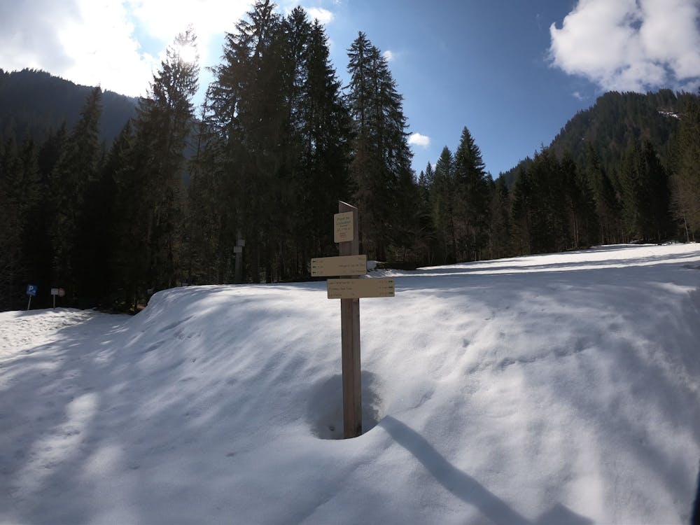
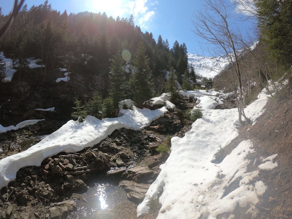
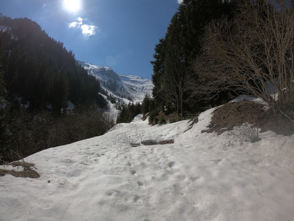
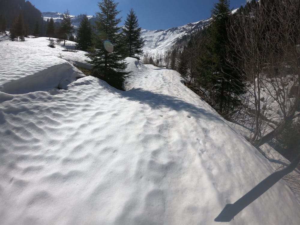
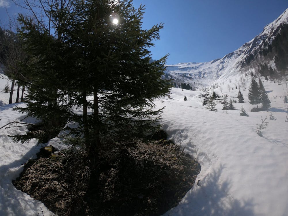
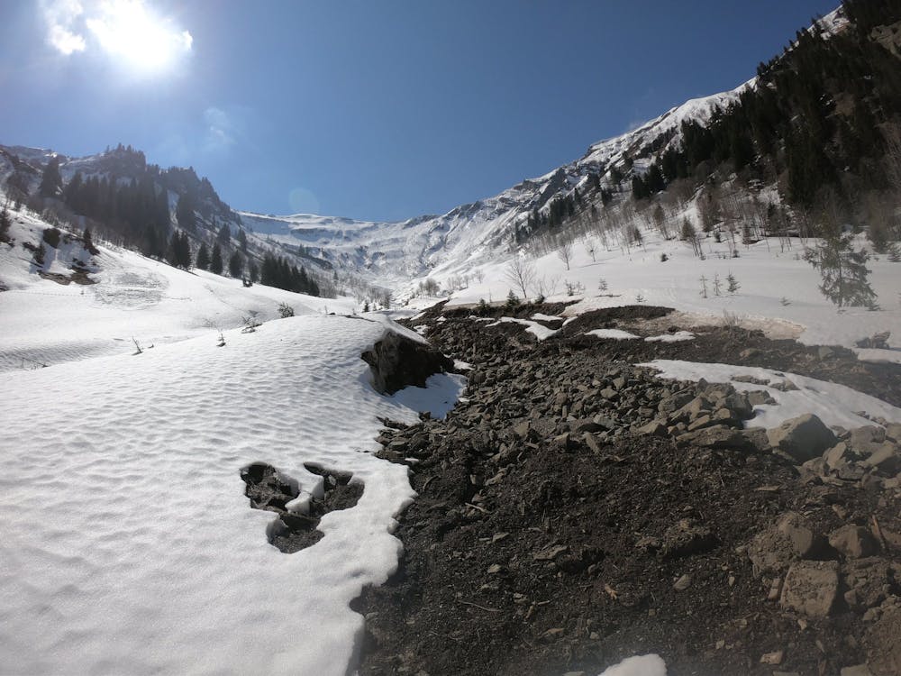
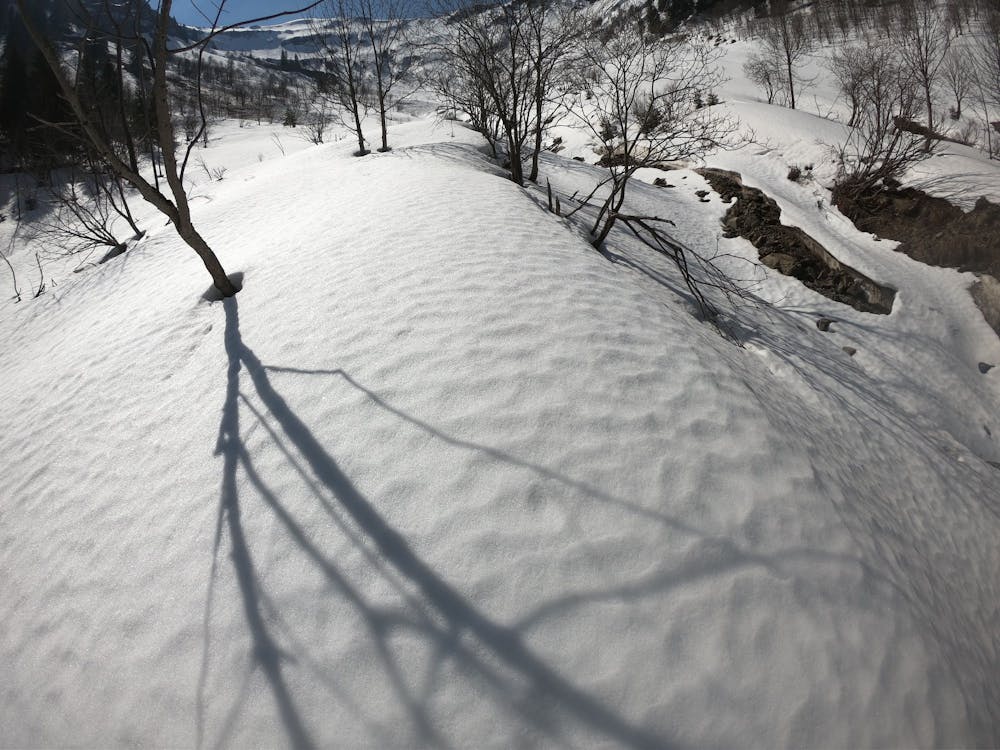
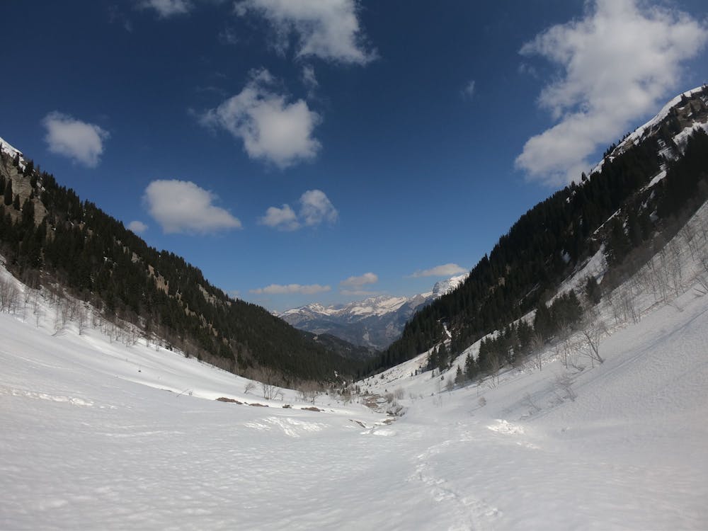
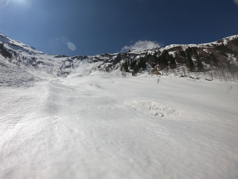
A hike (or snowshoe) up from the Car Park into the Vaconnant and back
Hiking Moderate

This is a popular hiking route which is generally considered to be moderate. It's remote, it features medium exposure and is typically done between March and October. From a low point of 1.1 km to the maximum altitude of 1.5 km, the route covers 5.5 km, 442 vertical metres of ascent and 443 vertical metres of descent.
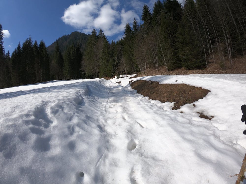
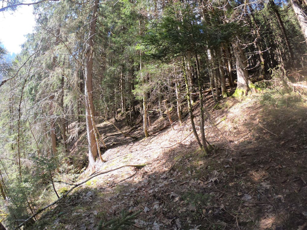
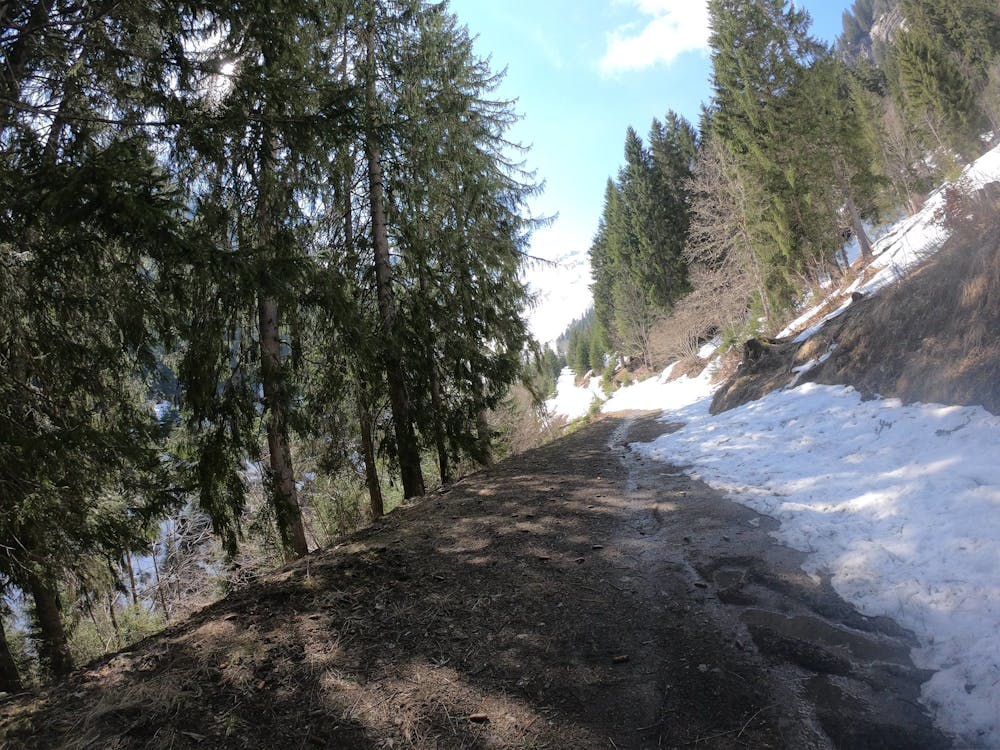
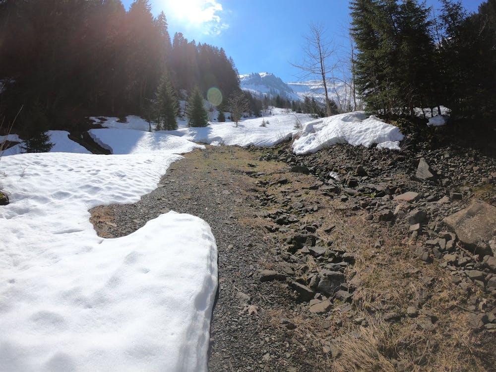
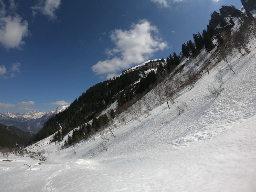

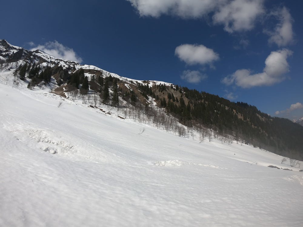
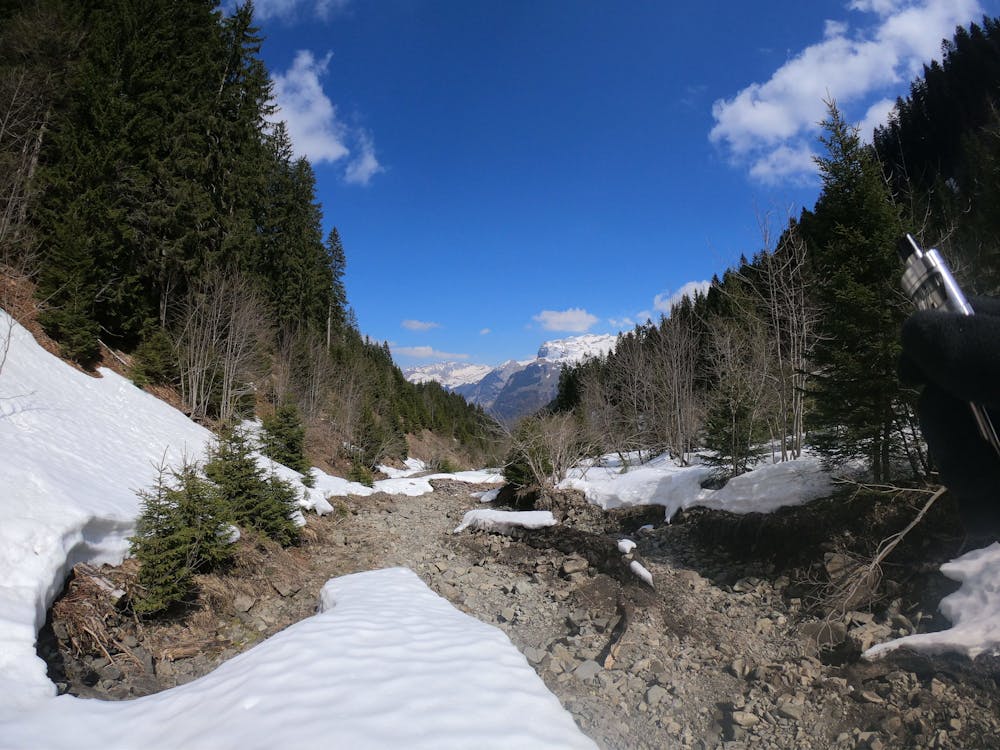

Mostly on the Chemin du Vanonnant
Moderate
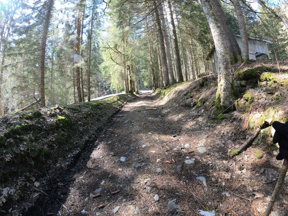
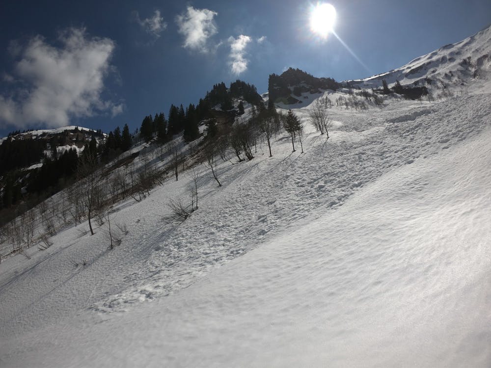
Hiking along trails with some uneven terrain and small hills. Small rocks and roots may be present.

The trail contains some obstacles such as outcroppings and rock which could cause injury.
Away from help but easily accessed.
4 km away
A 3-day hike along part of the Via Alpina in the stunning Haute-Savoie region of France.
Moderate Hiking
6.7 km away
A hike beginning with easy trails and ending by scrambling to a summit.
Extreme Hiking
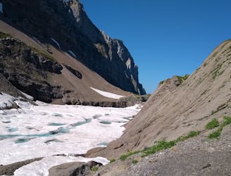
9.9 km away
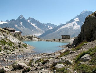
Visit an alpine lake before discovering one of France's 17 "Grand Sites de France," the glacial cirque of Fer à Cheval.
Difficult Hiking

3 routes · Hiking