734 m away
Pointe de Bellegarde
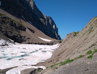
A hike beginning with easy trails and ending by scrambling to a summit.
Extreme Hiking
- Distance
- 18 km
- Ascent
- 1.7 km
- Descent
- 1.7 km
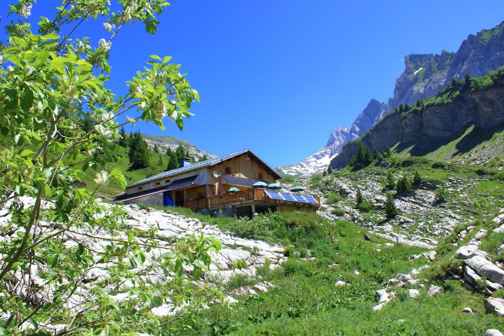
Boucle familiale au refuge de Bostan
Hiking Moderate

This is a popular hiking route which is generally considered to be moderate. It's not remote, it features low exposure and is typically done between May and September. From a low point of 1.1 km to the maximum altitude of 1.8 km, the route covers 8.8 km, 766 vertical metres of ascent and 765 vertical metres of descent.
Boucle facile au départ du parking du plan aux arches au dessus de la commune de Samoens
Moderate
Hiking along trails with some uneven terrain and small hills. Small rocks and roots may be present.

The path is on completely flat land and potential injury is limited to falling over.
Close to help in case of emergency.
734 m away
A hike beginning with easy trails and ending by scrambling to a summit.
Extreme Hiking
3.5 km away
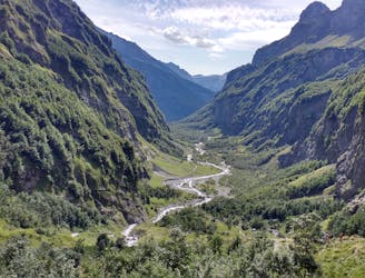
A 3-day hike along part of the Via Alpina in the stunning Haute-Savoie region of France.
Moderate Hiking
7.9 km away
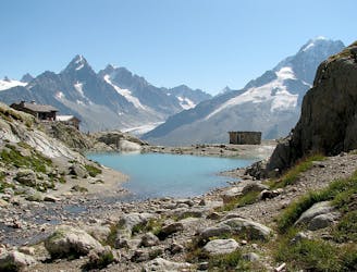
Visit an alpine lake before discovering one of France's 17 "Grand Sites de France," the glacial cirque of Fer à Cheval.
Difficult Hiking

3 routes · Hiking