16 m away
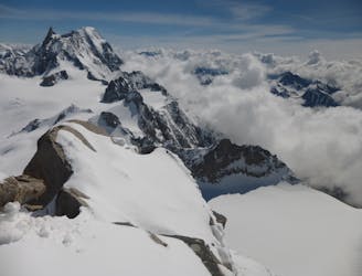
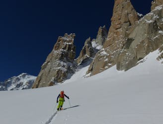
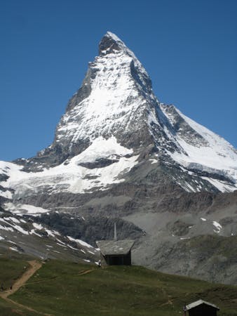
Mont Blanc West Face
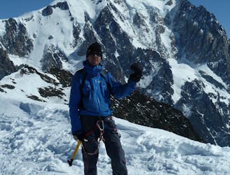
The 'Himalayan' face of Mont Blanc
Extreme Ski Touring
- Distance
- 11 km
- Ascent
- 154 m
- Descent
- 3.1 km
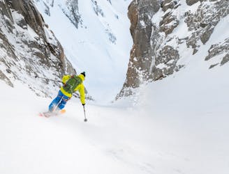
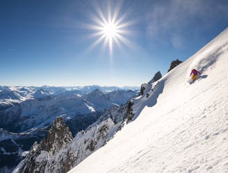
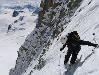
Steep descent down mont blanc
Ski Touring Extreme

This is a popular ski touring route which is generally considered to be extreme. It's extremely remote, it features extreme exposure (e4) and is typically done between February and March. From a low point of 2.4 km to the maximum altitude of 4.8 km, the route covers 8.3 km, 151 vertical metres of ascent and 2594 vertical metres of descent. You'll need rope, skins, ice axe, crampons and glacier kit to complete it safely.
Don't attempt its not possible
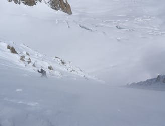
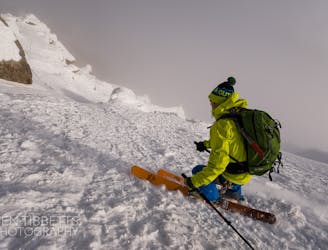
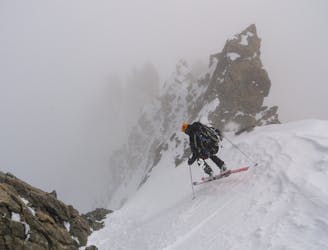
Extreme
Extreme skiing terrain above 45 degrees. These routes are reserved for experienced experts.

In case of a fall, the skier faces certain death.
In the high mountains or remote conditions, all individuals must be completely autonomous in every situation.
16 m away
The 'Himalayan' face of Mont Blanc
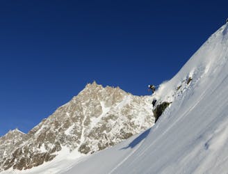
Extreme Ski Touring
3.5 km away
An accessbile steep line, a great 'warm up' to the more extreme descents of the Massif
Extreme Ski Touring
3.5 km away
One of the areas classic steep north faces. Only 300 meters high, but the top slope is extremely serious
Extreme Ski Touring
3.8 km away
The most straightforward way to ski the Tour Ronde out of its four skiable sides.
Extreme Ski Touring
3.8 km away
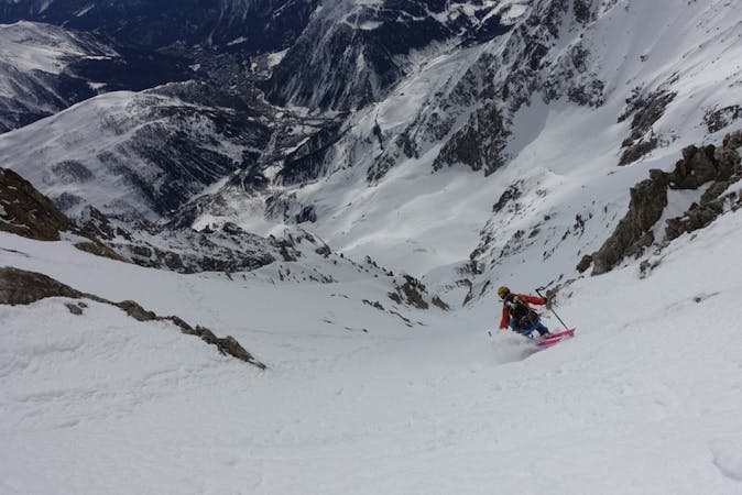
A wild and committing descent. When conditions are good, this is as good as adventurous ski touring gets!
Severe Ski Touring
4 km away
A wild setting sets the tone for an incredible descent, steep and committing.
Severe Ski Touring
4.4 km away
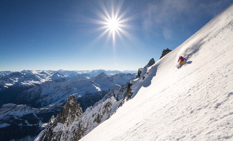
One of the best and longest extreme couloirs in the Mont Blanc Massif
Extreme Ski Touring
4.5 km away
Scenic alternative exit from the West Face of the Midi
Severe Ski Touring
4.7 km away
Not to be confused with its bigger brother, the Diable Couloir. A great intro to the bigger lines on the legendary East Face of Mont Blanc du Tacul
Extreme Ski Touring
4.7 km away
Another gem of a steep line on the East Face of Mont Blanc du Tacul
Extreme Ski Touring
4 routes · Ski Touring
9 routes · Freeride Skiing · Ski Touring
3 routes · Ski Touring