339 m away
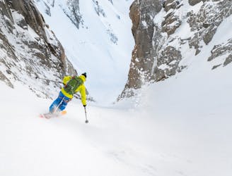
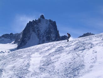
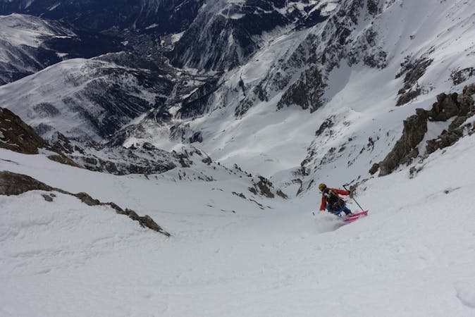
East Face of the Tour Ronde
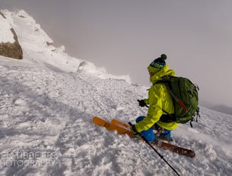
The most straightforward way to ski the Tour Ronde out of its four skiable sides.
Extreme Ski Touring
- Distance
- 348 m
- Ascent
- 276 m
- Descent
- 0 m
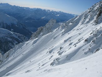
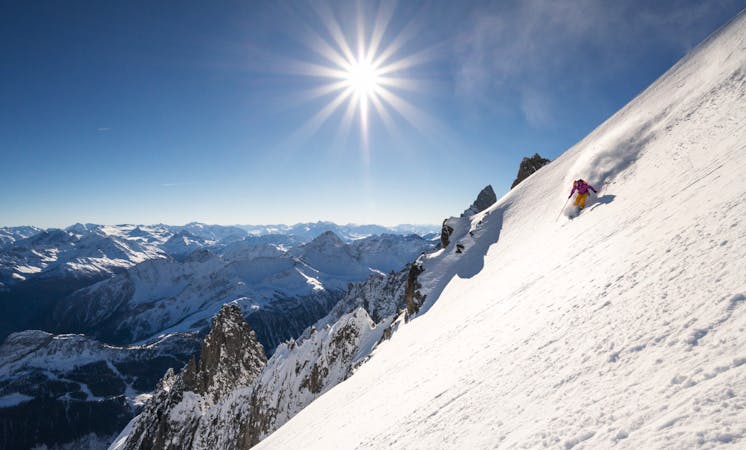
A wild setting sets the tone for an incredible descent, steep and committing.
Ski Touring Severe

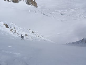
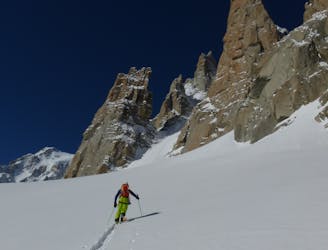
Follow the Aiguille D'Entreves line to the Col d'Entreves. From the col find a way through the often corniced entrance. Trend right across the rock bands to enter the couloir. Ski this down onto the wide and steep Glacier d'Entrèves. This narrows and steepens again before one can traverse hard left under the lowest rocks, under the Glacier de Toule and across the slopes to rejoin the Glacier de Toule line back to Pavilion.
You are on a glacier so make sure you are equipped, prepared and have practised crevasse rescue, however unlikely you think falling in a crevasse is- it is possible! A minimum would be each person to have harness, axe, crampons, an ice screw, 3 prussiks, several screwgates, a pulley/DMM Revolver karabiner, a couple of slings and 2 30m ropes in the group. A more modern simple solution substituting for many of the above might be 2 Petzl RAD systems in the group. If you have any doubts about this ski with an IFMGA Mountain Guide.
Severe
Steep skiing at 38-45 degrees. This requires very good technique and the risk of falling has serious consequences.

In case of a fall, death is highly likely.

In the high mountains or remote conditions, all individuals must be completely autonomous in every situation.
339 m away
The most straightforward way to ski the Tour Ronde out of its four skiable sides.
Extreme Ski Touring
339 m away
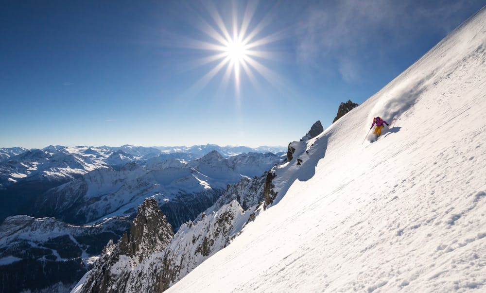
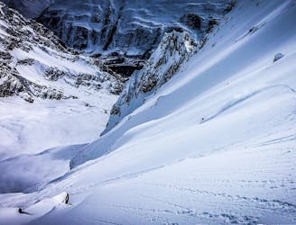
A wild and committing descent. When conditions are good, this is as good as adventurous ski touring gets!
Severe Ski Touring
662 m away
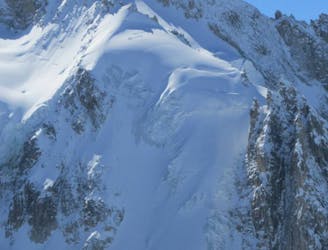
One of the areas classic steep north faces. Only 300 meters high, but the top slope is extremely serious
Extreme Ski Touring
681 m away
An accessbile steep line, a great 'warm up' to the more extreme descents of the Massif
Extreme Ski Touring
1.5 km away
Probably the most spectacular descent on the Hellbronner, this line goes through some huge terrain and features steep freeriding.
Severe Ski Touring
1.5 km away
A steeper but more elegant variation to the classic Marbrée descent
Severe Ski Touring
2 km away
Not to be confused with its bigger brother, the Diable Couloir. A great intro to the bigger lines on the legendary East Face of Mont Blanc du Tacul
Extreme Ski Touring
2.1 km away
A mellow ski tour which often holds good snow
Moderate Ski Touring
2.2 km away
An incredible steep glacial face with blind rollovers, it is not often in condition these days.
Extreme Ski Touring
2.2 km away
A huge and exposed face beneath one of the most iconic 4000ers.
Extreme Ski Touring

10 routes · Freeride Skiing · Ski Touring
4 routes · Ski Touring

15 routes · Freeride Skiing · Ski Touring
9 routes · Freeride Skiing · Ski Touring