196 m away
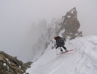
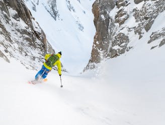
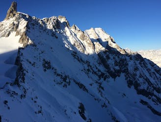
Col du Diable
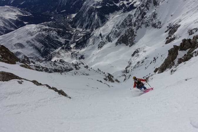
Not to be confused with its bigger brother, the Diable Couloir. A great intro to the bigger lines on the legendary East Face of Mont Blanc du Tacul
Extreme Ski Touring
- Distance
- 3.7 km
- Ascent
- 844 m
- Descent
- 844 m
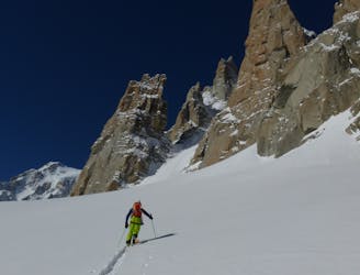
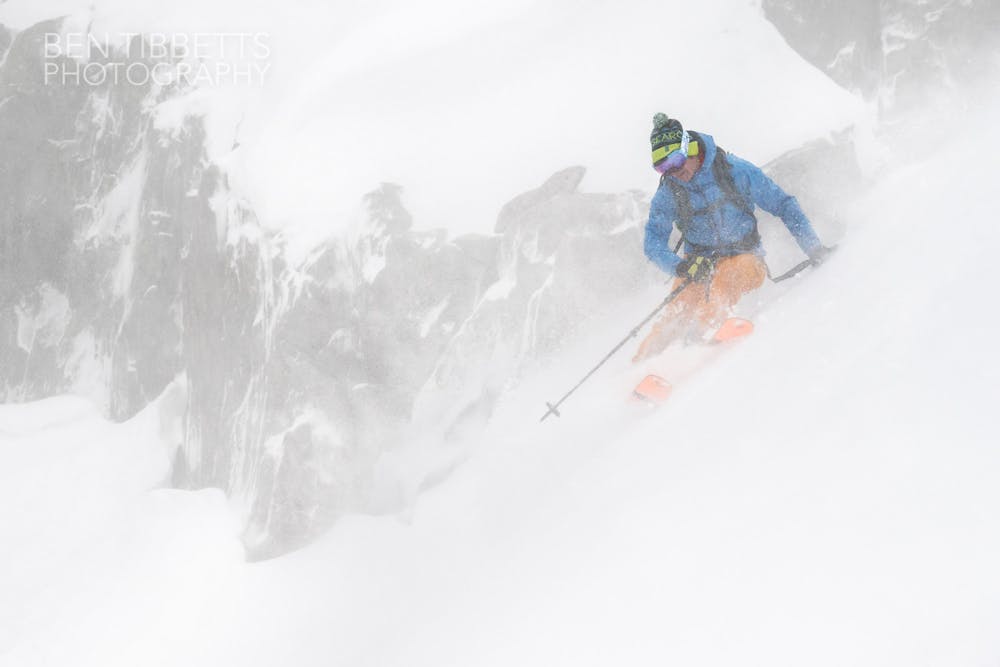
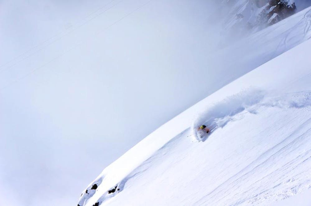
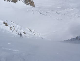
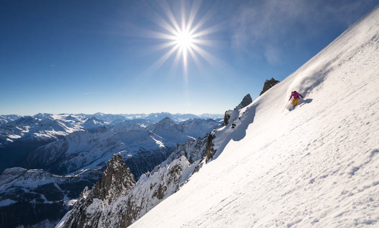
A mellow ski tour which often holds good snow
Ski Touring Moderate

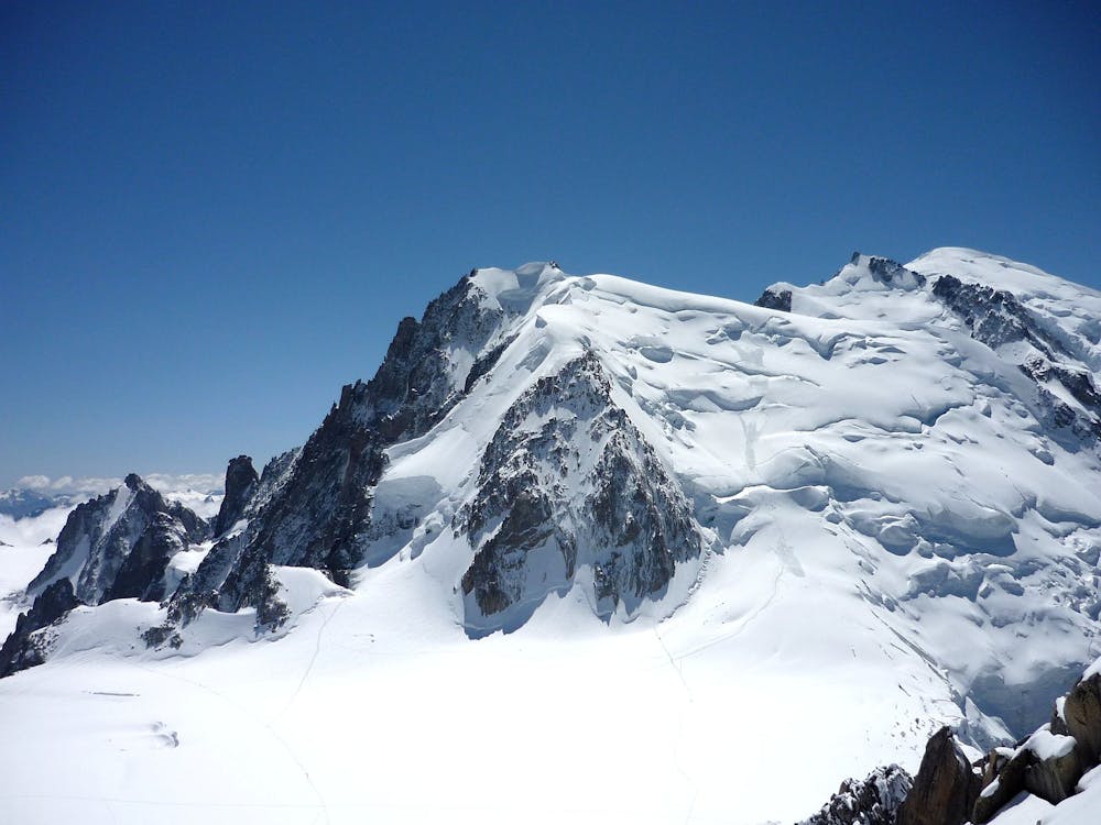
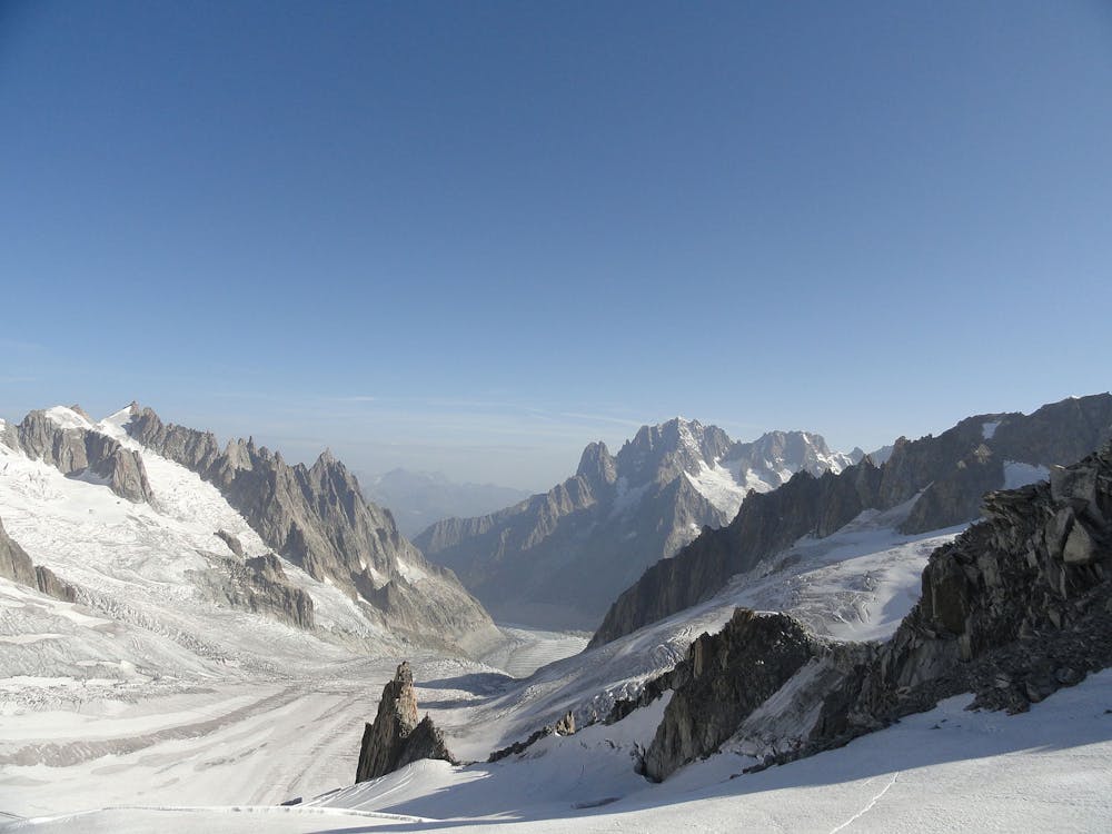
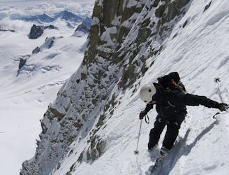
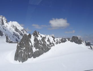
Starting from the Aiguille du Midi cable car, exit the lift station and walk down the arête. Ski down the Vallée Blanche, crossing over to the Italian side. Continue skiing down the skier's right side of the Gèant Icefall until just above the Salle à Manger. Transition here to skinning. Be aware of the La Noire serac now overhead which is sometimes active and has been known on occasion to reach the Salle à Manger, so this is no place to stop for a picnic. Skin up the Périades Glacier towards the Col du Tacul until you reach the steeper slopes below the Col du Tacul. Turning around here, ski back down the same way before trending skier's right side in the lower half, descending 30 degree slopes on the moraine above the Mer de Glace. Continue down the rest of the classic Vallée Blanche route.
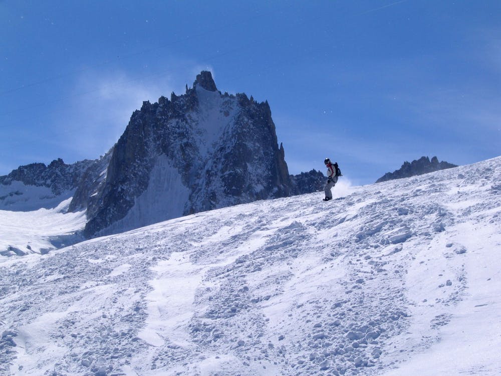
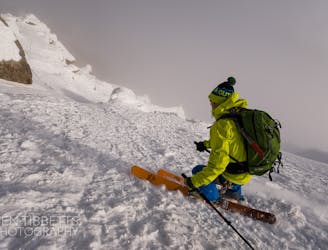
Moderate
Slopes become slightly steeper at around 25-30 degrees.

Exposure is limited to that of the slope itself. Getting hurt is still likely if the slope is steep and/or the snow is hard.

In the high mountains or remote conditions, all individuals must be completely autonomous in every situation.
196 m away
Not to be confused with its bigger brother, the Diable Couloir. A great intro to the bigger lines on the legendary East Face of Mont Blanc du Tacul
Extreme Ski Touring
747 m away
One of the best and longest extreme couloirs in the Mont Blanc Massif
Extreme Ski Touring
1.1 km away
Another gem of a steep line on the East Face of Mont Blanc du Tacul
Extreme Ski Touring
1.8 km away
An accessbile steep line, a great 'warm up' to the more extreme descents of the Massif
Extreme Ski Touring
1.8 km away
One of the areas classic steep north faces. Only 300 meters high, but the top slope is extremely serious
Extreme Ski Touring
1.9 km away
A wild and committing descent. When conditions are good, this is as good as adventurous ski touring gets!
Severe Ski Touring
1.9 km away
The most straightforward way to ski the Tour Ronde out of its four skiable sides.
Extreme Ski Touring
2 km away
A huge and exposed face beneath one of the most iconic 4000ers.
Extreme Ski Touring
2 km away
Shorter alternative to the Dent du Géant South Face
Extreme Ski Touring
2 km away
An incredible steep glacial face with blind rollovers, it is not often in condition these days.
Extreme Ski Touring
4 routes · Ski Touring
9 routes · Freeride Skiing · Ski Touring