4.7 km away
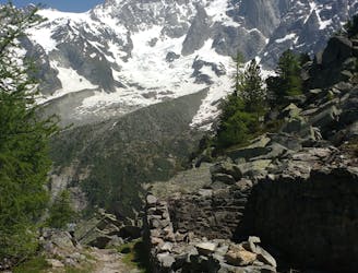
Brévent - Pormenaz Loop
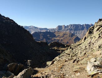
There's life beyond the South and North Balcony trails—explore this amazing loop!
Severe Trail Running
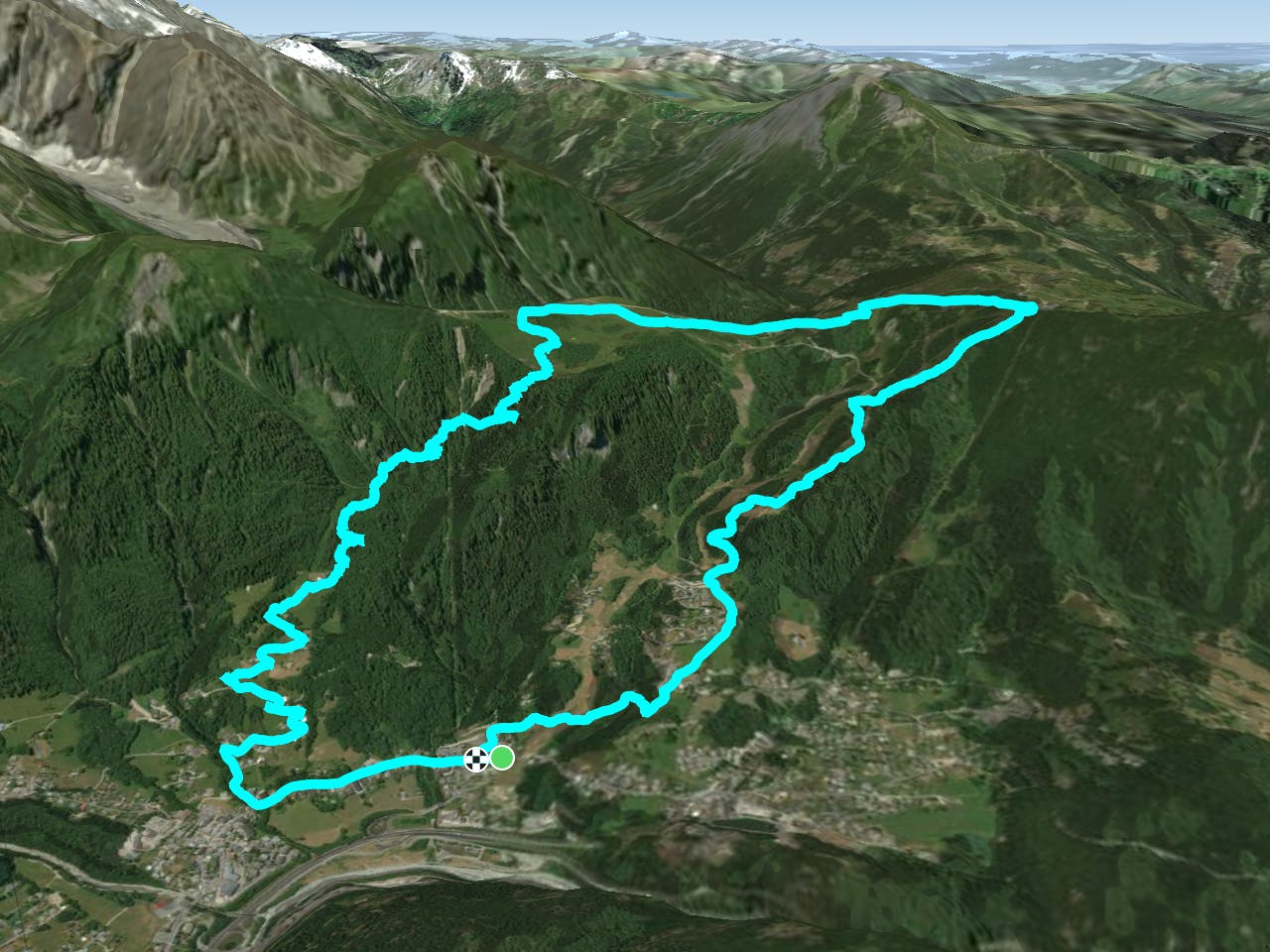
- Distance
- 31 km
- Ascent
- 2.4 km
- Descent
- 2.4 km
Up one lift down another
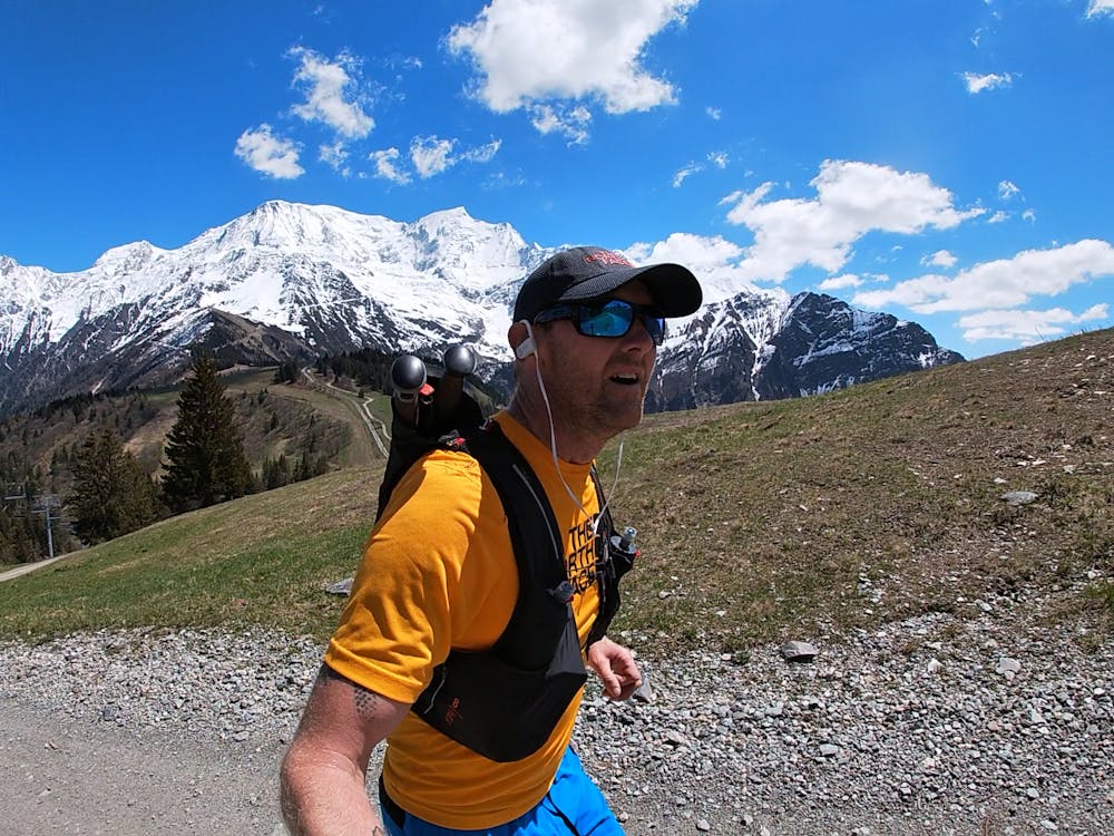
Trail Running Moderate
This is a popular trail running route which is generally considered to be moderate. It's not remote, it features low exposure and is typically done between June and October. From a low point of 1 km to the maximum altitude of 1.8 km, the route covers 12 km, 969 vertical metres of ascent and 970 vertical metres of descent.
Fun climb, heavy leg descent
Moderate

The path is on completely flat land and potential injury is limited to falling over.
Close to help in case of emergency.
4.7 km away
There's life beyond the South and North Balcony trails—explore this amazing loop!
Severe Trail Running
7.3 km away

le kilomètre vertical de Chamonix
Difficult Trail Running
7.3 km away

Epreuve reine de l'événement
Severe Trail Running
7.3 km away

La course nocturne en binome
Difficult Trail Running
7.4 km away

La plus longue coure du Marathon
Extreme Trail Running
7.5 km away
An amazing way to see some of the best view in Chamonix on foot.
Moderate Trail Running
7.9 km away

A classic loop around the Chamonix Valley.
Easy Trail Running
8.1 km away
Enjoy the open vistas of the north balcony between Montenvers and Plan de l'Aiguille on vintage Chamonix trails.
Moderate Trail Running
8.1 km away

La course format 10k de l'événement
Moderate Trail Running
8.2 km away

le cross du Mont-blanc
Difficult Trail Running

8 routes · Trail Running